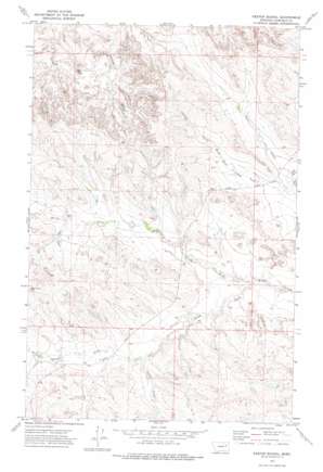
Kester School Topo Map Montana
To zoom in, hover over the map of Kester School
USGS Topo Quad 47106e6 - 1:24,000 scale
| Topo Map Name: | Kester School |
| USGS Topo Quad ID: | 47106e6 |
| Print Size: | ca. 21 1/4" wide x 27" high |
| Southeast Coordinates: | 47.5° N latitude / 106.625° W longitude |
| Map Center Coordinates: | 47.5625° N latitude / 106.6875° W longitude |
| U.S. State: | MT |
| Filename: | o47106e6.jpg |
| Download Map JPG Image: | Kester School topo map 1:24,000 scale |
| Map Type: | Topographic |
| Topo Series: | 7.5´ |
| Map Scale: | 1:24,000 |
| Source of Map Images: | United States Geological Survey (USGS) |
| Alternate Map Versions: |
Kester School MT 1972, updated 1975 Download PDF Buy paper map Kester School MT 2011 Download PDF Buy paper map Kester School MT 2014 Download PDF Buy paper map |
1:24,000 Topo Quads surrounding Kester School
> Back to 47106e1 at 1:100,000 scale
> Back to 47106a1 at 1:250,000 scale
> Back to U.S. Topo Maps home
Kester School topo map: Gazetteer
Kester School: Dams
Big Bucks Number 11 Dam elevation 815m 2673′Big Bucks Number 13 Dam elevation 797m 2614′
Binion Number 4 Dam elevation 818m 2683′
Buffalo Hill Dam elevation 796m 2611′
Claribell Number 5 Dam elevation 819m 2687′
Claribell Number 6 Dam elevation 800m 2624′
Hays Dam elevation 808m 2650′
Kester School: Reservoirs
Buffalo Hill Reservoir elevation 796m 2611′Kester School: Streams
Camp Creek elevation 797m 2614′North Fork Pass Creek elevation 788m 2585′
North Fork Woody Creek elevation 769m 2522′
South Fork Pass Creek elevation 783m 2568′
South Fork Woody Creek elevation 766m 2513′
Kester School: Wells
21N39E12C___01 Well elevation 812m 2664′21N39E22A___01 Well elevation 804m 2637′
21N39E22D___01 Well elevation 794m 2604′
21N40E18D___01 Well elevation 787m 2582′
Kester School digital topo map on disk
Buy this Kester School topo map showing relief, roads, GPS coordinates and other geographical features, as a high-resolution digital map file on DVD:
Eastern Montana & Western North Dakota
Buy digital topo maps: Eastern Montana & Western North Dakota


