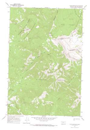
Flint Mountain Topo Map Montana
To zoom in, hover over the map of Flint Mountain
USGS Topo Quad 47112c8 - 1:24,000 scale
| Topo Map Name: | Flint Mountain |
| USGS Topo Quad ID: | 47112c8 |
| Print Size: | ca. 21 1/4" wide x 27" high |
| Southeast Coordinates: | 47.25° N latitude / 112.875° W longitude |
| Map Center Coordinates: | 47.3125° N latitude / 112.9375° W longitude |
| U.S. State: | MT |
| Filename: | o47112c8.jpg |
| Download Map JPG Image: | Flint Mountain topo map 1:24,000 scale |
| Map Type: | Topographic |
| Topo Series: | 7.5´ |
| Map Scale: | 1:24,000 |
| Source of Map Images: | United States Geological Survey (USGS) |
| Alternate Map Versions: |
Flint Mountain MT 1970, updated 1973 Download PDF Buy paper map Flint Mountain MT 1970, updated 1973 Download PDF Buy paper map Flint Mountain MT 1999, updated 2003 Download PDF Buy paper map Flint Mountain MT 2011 Download PDF Buy paper map Flint Mountain MT 2014 Download PDF Buy paper map |
| FStopo: | US Forest Service topo Flint Mountain is available: Download FStopo PDF Download FStopo TIF |
1:24,000 Topo Quads surrounding Flint Mountain
> Back to 47112a1 at 1:100,000 scale
> Back to 47112a1 at 1:250,000 scale
> Back to U.S. Topo Maps home
Flint Mountain topo map: Gazetteer
Flint Mountain: Lakes
Sun Lake elevation 2130m 6988′Flint Mountain: Ridges
Triple Divide elevation 2581m 8467′Flint Mountain: Streams
Dwight Creek elevation 1615m 5298′Flint Mountain: Summits
Evans Peak elevation 2696m 8845′Flint Mountain elevation 2749m 9019′
Observation Point elevation 2593m 8507′
Trident Peaks elevation 2318m 7604′
Flint Mountain: Trails
Cabin Creek Dobrota Trail elevation 1827m 5994′Dry Fork Cabin Creek Trail elevation 1901m 6236′
Flint Mountain digital topo map on disk
Buy this Flint Mountain topo map showing relief, roads, GPS coordinates and other geographical features, as a high-resolution digital map file on DVD:


