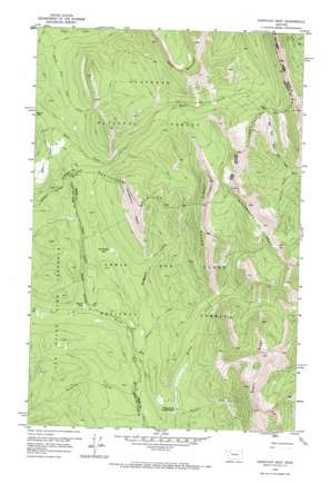
Porphyry Reef Topo Map Montana
To zoom in, hover over the map of Porphyry Reef
USGS Topo Quad 47112h8 - 1:24,000 scale
| Topo Map Name: | Porphyry Reef |
| USGS Topo Quad ID: | 47112h8 |
| Print Size: | ca. 21 1/4" wide x 27" high |
| Southeast Coordinates: | 47.875° N latitude / 112.875° W longitude |
| Map Center Coordinates: | 47.9375° N latitude / 112.9375° W longitude |
| U.S. State: | MT |
| Filename: | o47112h8.jpg |
| Download Map JPG Image: | Porphyry Reef topo map 1:24,000 scale |
| Map Type: | Topographic |
| Topo Series: | 7.5´ |
| Map Scale: | 1:24,000 |
| Source of Map Images: | United States Geological Survey (USGS) |
| Alternate Map Versions: |
Porphyry Reef MT 1958, updated 1959 Download PDF Buy paper map Porphyry Reef MT 1958, updated 1967 Download PDF Buy paper map Porphyry Reef MT 1995, updated 1997 Download PDF Buy paper map Porphyry Reef MT 2011 Download PDF Buy paper map Porphyry Reef MT 2014 Download PDF Buy paper map |
| FStopo: | US Forest Service topo Porphyry Reef is available: Download FStopo PDF Download FStopo TIF |
1:24,000 Topo Quads surrounding Porphyry Reef
> Back to 47112e1 at 1:100,000 scale
> Back to 47112a1 at 1:250,000 scale
> Back to U.S. Topo Maps home
Porphyry Reef topo map: Gazetteer
Porphyry Reef: Flats
McDonald Park elevation 1858m 6095′Round Park elevation 1767m 5797′
Porphyry Reef: Gaps
Sun River Pass elevation 1907m 6256′Teton Pass elevation 2219m 7280′
Porphyry Reef: Ridges
Corrugate Ridge elevation 2385m 7824′Porphyry Reef elevation 2353m 7719′
Wapiti Ridge elevation 2383m 7818′
Washboard Reef elevation 2383m 7818′
Wrong Ridge elevation 2446m 8024′
Porphyry Reef: Streams
Basin Creek elevation 1758m 5767′Bull Creek elevation 1865m 6118′
Fool Creek elevation 1763m 5784′
McDonald Creek elevation 1746m 5728′
Monroe Creek elevation 1732m 5682′
Open Creek elevation 1762m 5780′
Seven-Up Creek elevation 1712m 5616′
South Fork Open Creek elevation 1786m 5859′
Wrangle Creek elevation 1739m 5705′
Porphyry Reef: Summits
Bowl Mountain elevation 2484m 8149′Porphyry Reef digital topo map on disk
Buy this Porphyry Reef topo map showing relief, roads, GPS coordinates and other geographical features, as a high-resolution digital map file on DVD:


