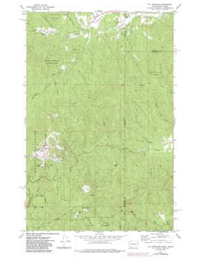
Mount Spokane Topo Map Washington
To zoom in, hover over the map of Mount Spokane
USGS Topo Quad 47117h1 - 1:24,000 scale
| Topo Map Name: | Mount Spokane |
| USGS Topo Quad ID: | 47117h1 |
| Print Size: | ca. 21 1/4" wide x 27" high |
| Southeast Coordinates: | 47.875° N latitude / 117° W longitude |
| Map Center Coordinates: | 47.9375° N latitude / 117.0625° W longitude |
| U.S. States: | WA, ID |
| Filename: | o47117h1.jpg |
| Download Map JPG Image: | Mount Spokane topo map 1:24,000 scale |
| Map Type: | Topographic |
| Topo Series: | 7.5´ |
| Map Scale: | 1:24,000 |
| Source of Map Images: | United States Geological Survey (USGS) |
| Alternate Map Versions: |
Mt Spokane WA 1973, updated 1977 Download PDF Buy paper map Mt Spokane WA 1973, updated 1986 Download PDF Buy paper map Mount Spokane WA 1996, updated 1999 Download PDF Buy paper map Mount Spokane WA 2011 Download PDF Buy paper map Mount Spokane WA 2014 Download PDF Buy paper map |
| FStopo: | US Forest Service topo Mount Spokane is available: Download FStopo PDF Download FStopo TIF |
1:24,000 Topo Quads surrounding Mount Spokane
> Back to 47117e1 at 1:100,000 scale
> Back to 47116a1 at 1:250,000 scale
> Back to U.S. Topo Maps home
Mount Spokane topo map: Gazetteer
Mount Spokane: Parks
Mount Spokane State Park elevation 1691m 5547′Mount Spokane: Ridges
Linder Ridge elevation 1415m 4642′Mount Spokane: Springs
Big Springs elevation 1508m 4947′Mount Spokane: Streams
Brickel Creek elevation 780m 2559′Johnson Creek elevation 793m 2601′
Litter Creek elevation 897m 2942′
McCabe Creek elevation 761m 2496′
North Fork Blanchard Creek elevation 719m 2358′
Ross Creek elevation 723m 2372′
Supper Creek elevation 780m 2559′
Mount Spokane: Summits
Bald Knob elevation 1557m 5108′Horse Mountain elevation 1552m 5091′
Mount Spokane elevation 1784m 5853′
Quartz Mountain elevation 1572m 5157′
Shadow Mountain elevation 1486m 4875′
Tripps Knob elevation 1208m 3963′
Mount Spokane digital topo map on disk
Buy this Mount Spokane topo map showing relief, roads, GPS coordinates and other geographical features, as a high-resolution digital map file on DVD:


