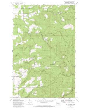
Mount Kit Carson Topo Map Washington
To zoom in, hover over the map of Mount Kit Carson
USGS Topo Quad 47117h2 - 1:24,000 scale
| Topo Map Name: | Mount Kit Carson |
| USGS Topo Quad ID: | 47117h2 |
| Print Size: | ca. 21 1/4" wide x 27" high |
| Southeast Coordinates: | 47.875° N latitude / 117.125° W longitude |
| Map Center Coordinates: | 47.9375° N latitude / 117.1875° W longitude |
| U.S. State: | WA |
| Filename: | o47117h2.jpg |
| Download Map JPG Image: | Mount Kit Carson topo map 1:24,000 scale |
| Map Type: | Topographic |
| Topo Series: | 7.5´ |
| Map Scale: | 1:24,000 |
| Source of Map Images: | United States Geological Survey (USGS) |
| Alternate Map Versions: |
Mt. Kit Carson WA 1973, updated 1977 Download PDF Buy paper map Mt. Kit Carson WA 1973, updated 1984 Download PDF Buy paper map Mt. Kit Carson WA 1973, updated 1984 Download PDF Buy paper map Mount Kit Carson WA 2011 Download PDF Buy paper map Mount Kit Carson WA 2014 Download PDF Buy paper map |
1:24,000 Topo Quads surrounding Mount Kit Carson
> Back to 47117e1 at 1:100,000 scale
> Back to 47116a1 at 1:250,000 scale
> Back to U.S. Topo Maps home
Mount Kit Carson topo map: Gazetteer
Mount Kit Carson: Airports
Mount Spokane West Airpark elevation 727m 2385′Mount Kit Carson: Basins
Hells Hole elevation 878m 2880′Mount Kit Carson: Gaps
Blanchard Hump elevation 908m 2979′Smith Gap elevation 1263m 4143′
Mount Kit Carson: Ranges
Three Rocks elevation 1101m 3612′Mount Kit Carson: Ridges
Hay Ridge elevation 1132m 3713′Missouri Ridge elevation 899m 2949′
Mount Kit Carson: Streams
Burping Brook elevation 964m 3162′Mount Kit Carson: Summits
Beauty Mountain elevation 1587m 5206′Day Mountain elevation 1536m 5039′
Mount Kit Carson elevation 1600m 5249′
Mount Kit Carson digital topo map on disk
Buy this Mount Kit Carson topo map showing relief, roads, GPS coordinates and other geographical features, as a high-resolution digital map file on DVD:


