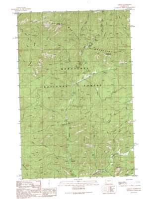
Liberty Topo Map Washington
To zoom in, hover over the map of Liberty
USGS Topo Quad 47120c6 - 1:24,000 scale
| Topo Map Name: | Liberty |
| USGS Topo Quad ID: | 47120c6 |
| Print Size: | ca. 21 1/4" wide x 27" high |
| Southeast Coordinates: | 47.25° N latitude / 120.625° W longitude |
| Map Center Coordinates: | 47.3125° N latitude / 120.6875° W longitude |
| U.S. State: | WA |
| Filename: | o47120c6.jpg |
| Download Map JPG Image: | Liberty topo map 1:24,000 scale |
| Map Type: | Topographic |
| Topo Series: | 7.5´ |
| Map Scale: | 1:24,000 |
| Source of Map Images: | United States Geological Survey (USGS) |
| Alternate Map Versions: |
Liberty WA 1989, updated 1989 Download PDF Buy paper map Liberty WA 1989, updated 1989 Download PDF Buy paper map Liberty WA 2003, updated 2006 Download PDF Buy paper map Liberty WA 2011 Download PDF Buy paper map Liberty WA 2014 Download PDF Buy paper map |
| FStopo: | US Forest Service topo Liberty is available: Download FStopo PDF Download FStopo TIF |
1:24,000 Topo Quads surrounding Liberty
> Back to 47120a1 at 1:100,000 scale
> Back to 47120a1 at 1:250,000 scale
> Back to U.S. Topo Maps home
Liberty topo map: Gazetteer
Liberty: Gaps
Old Blewett Pass elevation 1246m 4087′Liberty: Mines
Wash Green Sandstone Quarry elevation 1079m 3540′Liberty: Populated Places
Liberty elevation 815m 2673′Liberty: Ridges
Swauk Ridge elevation 1240m 4068′Liberty: Springs
Mineral Springs Resort elevation 847m 2778′Liberty: Streams
Baker Creek elevation 771m 2529′Blue Creek elevation 842m 2762′
Boulder Creek elevation 835m 2739′
Durst Creek elevation 865m 2837′
Hovey Creek elevation 895m 2936′
Hurley Creek elevation 915m 3001′
Iron Creek elevation 942m 3090′
Medicine Creek elevation 826m 2709′
North Fork Baker Creek elevation 847m 2778′
West Fork Creek elevation 896m 2939′
Liberty: Summits
Flag Mountain elevation 1149m 3769′Liberty: Trails
Blewett Summit Trail elevation 1466m 4809′Iron Bear Creek Trail elevation 1077m 3533′
Liberty: Valleys
Billy Goat Gulch elevation 979m 3211′Cougar Gulch elevation 879m 2883′
Lion Gulch elevation 799m 2621′
Liberty digital topo map on disk
Buy this Liberty topo map showing relief, roads, GPS coordinates and other geographical features, as a high-resolution digital map file on DVD:


