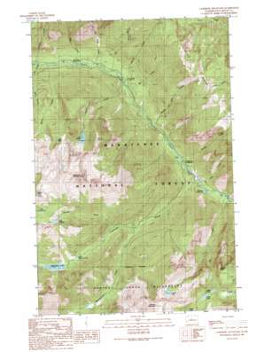
Cashmere Mountain Topo Map Washington
To zoom in, hover over the map of Cashmere Mountain
USGS Topo Quad 47120e7 - 1:24,000 scale
| Topo Map Name: | Cashmere Mountain |
| USGS Topo Quad ID: | 47120e7 |
| Print Size: | ca. 21 1/4" wide x 27" high |
| Southeast Coordinates: | 47.5° N latitude / 120.75° W longitude |
| Map Center Coordinates: | 47.5625° N latitude / 120.8125° W longitude |
| U.S. State: | WA |
| Filename: | o47120e7.jpg |
| Download Map JPG Image: | Cashmere Mountain topo map 1:24,000 scale |
| Map Type: | Topographic |
| Topo Series: | 7.5´ |
| Map Scale: | 1:24,000 |
| Source of Map Images: | United States Geological Survey (USGS) |
| Alternate Map Versions: |
Cashmere Mountain WA 1989, updated 1989 Download PDF Buy paper map Cashmere Mountain WA 2003, updated 2006 Download PDF Buy paper map Cashmere Mountain WA 2011 Download PDF Buy paper map Cashmere Mountain WA 2014 Download PDF Buy paper map |
| FStopo: | US Forest Service topo Cashmere Mountain is available: Download FStopo PDF Download FStopo TIF |
1:24,000 Topo Quads surrounding Cashmere Mountain
> Back to 47120e1 at 1:100,000 scale
> Back to 47120a1 at 1:250,000 scale
> Back to U.S. Topo Maps home
Cashmere Mountain topo map: Gazetteer
Cashmere Mountain: Dams
Eightmile Lake Outlet Dam elevation 1427m 4681′Cashmere Mountain: Gaps
Windy Pass elevation 2203m 7227′Cashmere Mountain: Lakes
Coney Lake elevation 2257m 7404′Earle Lake elevation 2040m 6692′
Lake Caroline elevation 1887m 6190′
Lake Ruth elevation 1995m 6545′
Lake Victoria elevation 1727m 5666′
Little Caroline Lake elevation 1923m 6309′
Little Eightmile Lake elevation 1345m 4412′
Mesa Lake elevation 2041m 6696′
Cashmere Mountain: Reservoirs
Eightmile Lake elevation 1427m 4681′Cashmere Mountain: Ridges
Icicle Ridge elevation 2088m 6850′Cashmere Mountain: Streams
Big Slide Creek elevation 777m 2549′Bob Creek elevation 781m 2562′
Bridge Creek elevation 626m 2053′
Doctor Creek elevation 779m 2555′
Eightmile Creek elevation 584m 1916′
Fourth of July Creek elevation 689m 2260′
Hoxsey Creek elevation 787m 2582′
Ida Creek elevation 768m 2519′
Jay Creek elevation 752m 2467′
Johnny Creek elevation 737m 2417′
Lion Creek elevation 567m 1860′
Mac Creek elevation 724m 2375′
Mountaineer Creek elevation 996m 3267′
Pioneer Creek elevation 1160m 3805′
Rat Creek elevation 543m 1781′
Victoria Creek elevation 733m 2404′
Cashmere Mountain: Summits
Cannon Mountain elevation 2615m 8579′Cashmere Mountain elevation 2575m 8448′
Edward Peak elevation 2204m 7230′
Cashmere Mountain digital topo map on disk
Buy this Cashmere Mountain topo map showing relief, roads, GPS coordinates and other geographical features, as a high-resolution digital map file on DVD:


