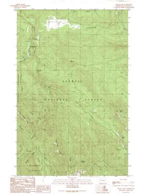
Mount Zion Topo Map Washington
To zoom in, hover over the map of Mount Zion
USGS Topo Quad 47123h1 - 1:24,000 scale
| Topo Map Name: | Mount Zion |
| USGS Topo Quad ID: | 47123h1 |
| Print Size: | ca. 21 1/4" wide x 27" high |
| Southeast Coordinates: | 47.875° N latitude / 123° W longitude |
| Map Center Coordinates: | 47.9375° N latitude / 123.0625° W longitude |
| U.S. State: | WA |
| Filename: | o47123h1.jpg |
| Download Map JPG Image: | Mount Zion topo map 1:24,000 scale |
| Map Type: | Topographic |
| Topo Series: | 7.5´ |
| Map Scale: | 1:24,000 |
| Source of Map Images: | United States Geological Survey (USGS) |
| Alternate Map Versions: |
Mount Zion WA 1990, updated 1990 Download PDF Buy paper map Mount Zion WA 1995, updated 1997 Download PDF Buy paper map Mount Zion WA 2011 Download PDF Buy paper map Mount Zion WA 2014 Download PDF Buy paper map |
| FStopo: | US Forest Service topo Mount Zion is available: Download FStopo PDF Download FStopo TIF |
1:24,000 Topo Quads surrounding Mount Zion
> Back to 47123e1 at 1:100,000 scale
> Back to 47122a1 at 1:250,000 scale
> Back to U.S. Topo Maps home
Mount Zion topo map: Gazetteer
Mount Zion: Dams
Elwick Dam elevation 382m 1253′Lake Lucinda Dam elevation 653m 2142′
Mount Zion: Gaps
Bon Jon Pass elevation 888m 2913′Mount Zion: Reservoirs
Lake Lucinda elevation 653m 2142′Mount Zion: Ridges
Dirty Face Ridge elevation 1431m 4694′Mount Zion: Streams
Bungalow Creek elevation 574m 1883′Copper Creek elevation 815m 2673′
Cougar Creek elevation 504m 1653′
Eddy Creek elevation 306m 1003′
Gold Creek elevation 382m 1253′
Gray Wolf River elevation 253m 830′
Silver Creek elevation 622m 2040′
Skookum Creek elevation 436m 1430′
Mount Zion: Summits
Bear Mountain elevation 1049m 3441′Little River Summit elevation 1475m 4839′
Mount Zion elevation 1299m 4261′
Schmith Knob elevation 477m 1564′
Mount Zion: Trails
Bear Mountain Trail (historical) elevation 604m 1981′Clink Trail (historical) elevation 380m 1246′
Dirty Face Trail (historical) elevation 935m 3067′
Little Quilcene Trail (historical) elevation 827m 2713′
Tubal Cain Mine Trail elevation 847m 2778′
Mount Zion: Valleys
Sleepy Hollow elevation 1084m 3556′Mount Zion digital topo map on disk
Buy this Mount Zion topo map showing relief, roads, GPS coordinates and other geographical features, as a high-resolution digital map file on DVD:


