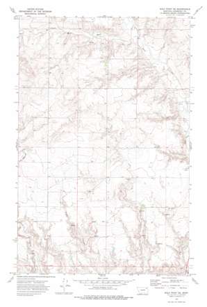
Wolf Point Ne Topo Map Montana
To zoom in, hover over the map of Wolf Point Ne
USGS Topo Quad 48105b5 - 1:24,000 scale
| Topo Map Name: | Wolf Point Ne |
| USGS Topo Quad ID: | 48105b5 |
| Print Size: | ca. 21 1/4" wide x 27" high |
| Southeast Coordinates: | 48.125° N latitude / 105.5° W longitude |
| Map Center Coordinates: | 48.1875° N latitude / 105.5625° W longitude |
| U.S. State: | MT |
| Filename: | o48105b5.jpg |
| Download Map JPG Image: | Wolf Point Ne topo map 1:24,000 scale |
| Map Type: | Topographic |
| Topo Series: | 7.5´ |
| Map Scale: | 1:24,000 |
| Source of Map Images: | United States Geological Survey (USGS) |
| Alternate Map Versions: |
Wolf Point NE MT 1972, updated 1975 Download PDF Buy paper map Wolf Point NE MT 2011 Download PDF Buy paper map Wolf Point NE MT 2014 Download PDF Buy paper map |
1:24,000 Topo Quads surrounding Wolf Point Ne
> Back to 48105a1 at 1:100,000 scale
> Back to 48104a1 at 1:250,000 scale
> Back to U.S. Topo Maps home
Wolf Point Ne topo map: Gazetteer
Wolf Point Ne: Springs
28N48E09DDCC01 Spring elevation 683m 2240′28N48E28AADD01 Spring elevation 653m 2142′
28N48E28BBBD01 Spring elevation 646m 2119′
28N48E28BBDB01 Spring elevation 653m 2142′
28N48E28CCDC01 Spring elevation 632m 2073′
28N48E30ACCC01 Spring elevation 659m 2162′
28N48E30DCCD01 Spring elevation 643m 2109′
29N47E26BDCA01 Spring elevation 708m 2322′
Wolf Point Ne: Streams
West Fork Tule Creek elevation 685m 2247′Wolf Point Ne: Wells
28N47E02CBBD01 Well elevation 739m 2424′28N47E26DBAD01 Well elevation 680m 2230′
28N47E26DBAD02 Well elevation 680m 2230′
28N47E35DCBA01 Well elevation 630m 2066′
28N48E03AC__01 Well elevation 662m 2171′
28N48E03AC__02 Well elevation 662m 2171′
28N48E03DA__01 Well elevation 669m 2194′
28N48E03DD__01 Well elevation 666m 2185′
28N48E03DD__02 Well elevation 666m 2185′
28N48E03DD__03 Well elevation 666m 2185′
28N48E03DDBB01 Well elevation 664m 2178′
28N48E04AACC01 Well elevation 695m 2280′
28N48E08BB__01 Well elevation 732m 2401′
28N48E08BBBA01 Well elevation 742m 2434′
28N48E08BCCC01 Well elevation 702m 2303′
28N48E17BA__01 Well elevation 702m 2303′
28N48E18AD__01 Well elevation 708m 2322′
28N48E18AD__02 Well elevation 708m 2322′
28N48E18AD__03 Well elevation 708m 2322′
28N48E20AA__01 Well elevation 686m 2250′
28N48E21CD__01 Well elevation 670m 2198′
28N48E21DD__01 Well elevation 676m 2217′
28N48E28BABB01 Well elevation 667m 2188′
28N48E28BABC01 Well elevation 666m 2185′
28N48E30AD__01 Well elevation 675m 2214′
28N48E31AB__01 Well elevation 650m 2132′
28N48E31AB__02 Well elevation 650m 2132′
28N48E32BC__01 Well elevation 650m 2132′
28N48E32BC__02 Well elevation 650m 2132′
28N48E34AC__01 Well elevation 620m 2034′
29N47E26ACBA01 Well elevation 707m 2319′
29N47E28AAAA01 Well elevation 735m 2411′
Wolf Point Ne digital topo map on disk
Buy this Wolf Point Ne topo map showing relief, roads, GPS coordinates and other geographical features, as a high-resolution digital map file on DVD:
Eastern Montana & Western North Dakota
Buy digital topo maps: Eastern Montana & Western North Dakota


