Todd Lakes Se Topo Map Montana
To zoom in, hover over the map of Todd Lakes Se
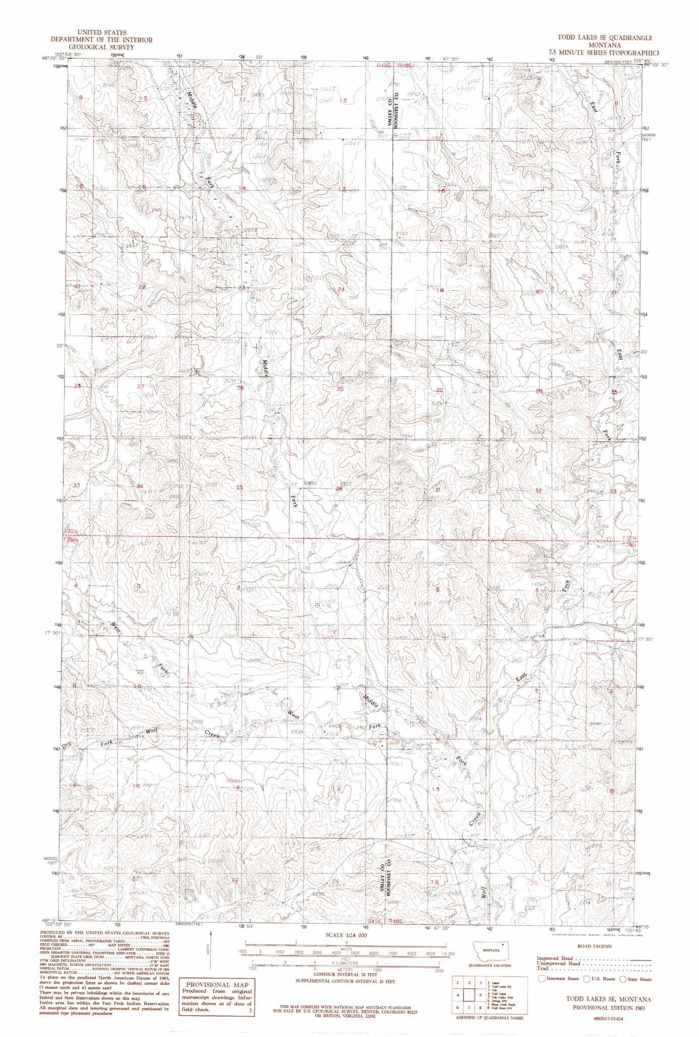
USGS Topo Quad 48105c7 - 1:24,000 scale
| Topo Map Name: | Todd Lakes Se |
| USGS Topo Quad ID: | 48105c7 |
| Print Size: | ca. 21 1/4" wide x 27" high |
| Southeast Coordinates: | 48.25° N latitude / 105.75° W longitude |
| Map Center Coordinates: | 48.3125° N latitude / 105.8125° W longitude |
| U.S. State: | MT |
| Filename: | o48105c7.jpg |
| Download Map JPG Image: | Todd Lakes Se topo map 1:24,000 scale |
| Map Type: | Topographic |
| Topo Series: | 7.5´ |
| Map Scale: | 1:24,000 |
| Source of Map Images: | United States Geological Survey (USGS) |
| Alternate Map Versions: |
Todd Lakes SE MT 1983, updated 1983 Download PDF Buy paper map Todd Lakes SE MT 2011 Download PDF Buy paper map Todd Lakes SE MT 2014 Download PDF Buy paper map |
1:24,000 Topo Quads surrounding Todd Lakes Se
Blink Springs |
Haugens Hill |
Poplar Coulee |
Peerless 4 Sw |
Peerless 4 Se |
Spring Valley East |
Lustre |
Todd Lakes Ne |
Volt |
Reed Springs |
Hauck Coulee |
Todd Lakes |
Todd Lakes Se |
Tule Valley West |
Tule Valley East |
Dubbe Reservoir |
Oswego Nw |
Flynn Creek North |
Wolf Point Nw |
Wolf Point Ne |
Frazer |
Oswego |
Flynn Creek South |
Wolf Point |
Macon |
> Back to 48105a1 at 1:100,000 scale
> Back to 48104a1 at 1:250,000 scale
> Back to U.S. Topo Maps home
Todd Lakes Se topo map: Gazetteer
Todd Lakes Se: Streams
Dry Fork Wolf Creek elevation 744m 2440′East Fork Wolf Creek elevation 719m 2358′
Middle Fork Wolf Creek elevation 727m 2385′
West Fork Wolf Creek elevation 718m 2355′
Todd Lakes Se: Wells
29N45E15CDBA01 Well elevation 817m 2680′29N45E23CADA01 Well elevation 825m 2706′
29N46E05DCCD01 Well elevation 739m 2424′
29N46E08ABBB01 Well elevation 735m 2411′
29N46E08ABBD01 Well elevation 739m 2424′
30N45E24AD__01 Well elevation 837m 2746′
30N45E25BAAC01 Well elevation 798m 2618′
30N45E25BADA01 Well elevation 794m 2604′
Todd Lakes Se digital topo map on disk
Buy this Todd Lakes Se topo map showing relief, roads, GPS coordinates and other geographical features, as a high-resolution digital map file on DVD:
Eastern Montana & Western North Dakota
Buy digital topo maps: Eastern Montana & Western North Dakota