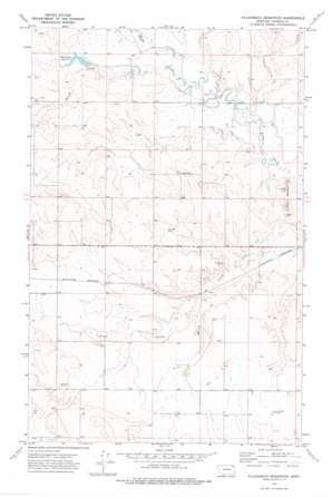
Killenbeck Reservoir Topo Map Montana
To zoom in, hover over the map of Killenbeck Reservoir
USGS Topo Quad 48105g6 - 1:24,000 scale
| Topo Map Name: | Killenbeck Reservoir |
| USGS Topo Quad ID: | 48105g6 |
| Print Size: | ca. 21 1/4" wide x 27" high |
| Southeast Coordinates: | 48.75° N latitude / 105.625° W longitude |
| Map Center Coordinates: | 48.8125° N latitude / 105.6875° W longitude |
| U.S. State: | MT |
| Filename: | o48105g6.jpg |
| Download Map JPG Image: | Killenbeck Reservoir topo map 1:24,000 scale |
| Map Type: | Topographic |
| Topo Series: | 7.5´ |
| Map Scale: | 1:24,000 |
| Source of Map Images: | United States Geological Survey (USGS) |
| Alternate Map Versions: |
Killenbeck Reservoir MT 1973, updated 1976 Download PDF Buy paper map Killenbeck Reservoir MT 2011 Download PDF Buy paper map Killenbeck Reservoir MT 2014 Download PDF Buy paper map |
1:24,000 Topo Quads surrounding Killenbeck Reservoir
> Back to 48105e1 at 1:100,000 scale
> Back to 48104a1 at 1:250,000 scale
> Back to U.S. Topo Maps home
Killenbeck Reservoir topo map: Gazetteer
Killenbeck Reservoir: Dams
Killenbeck Lake Dam elevation 770m 2526′Killenbeck Reservoir: Reservoirs
Killenbeck Lake elevation 770m 2526′Killenbeck Reservoir elevation 764m 2506′
Killenbeck Reservoir: Streams
Brush Creek elevation 757m 2483′Killenbeck Reservoir: Summits
Four Buttes elevation 791m 2595′Killenbeck Reservoir: Valleys
Olson Coulee elevation 775m 2542′Killenbeck Reservoir: Wells
35N46E01CCDA01 Well elevation 759m 2490′35N46E01CCDA02 Well elevation 762m 2500′
35N46E04CBCD01 Well elevation 815m 2673′
35N46E04CBDB01 Well elevation 817m 2680′
35N46E09DCAA01 Well elevation 802m 2631′
35N46E10DDDD01 Well elevation 780m 2559′
35N46E11AADC01 Well elevation 762m 2500′
35N46E11AADC02 Well elevation 775m 2542′
35N46E12BACB01 Well elevation 790m 2591′
35N46E12BACB02 Well elevation 781m 2562′
35N46E17ABCA01 Well elevation 808m 2650′
35N46E20AAAB01 Well elevation 812m 2664′
35N46E20AAAB02 Well elevation 811m 2660′
35N46E20CCCD01 Well elevation 833m 2732′
35N46E22CBDD01 Well elevation 806m 2644′
35N46E22CBDD02 Well elevation 806m 2644′
35N46E22DBDA01 Well elevation 802m 2631′
35N46E23ACCA01 Well elevation 799m 2621′
35N46E23ACCC01 Well elevation 800m 2624′
35N46E24DBCA01 Well elevation 794m 2604′
35N46E25AAAC01 Well elevation 799m 2621′
35N46E25BBBA01 Well elevation 799m 2621′
35N46E26CDAC01 Well elevation 808m 2650′
35N46E30ADDB01 Well elevation 835m 2739′
35N47E06CCBC01 Well elevation 755m 2477′
36N46E15CDDD01 Well elevation 766m 2513′
36N46E20ABDD01 Well elevation 763m 2503′
36N46E21ACCB01 Well elevation 758m 2486′
36N46E23AAAA01 Well elevation 778m 2552′
36N46E31BAAA01 Well elevation 812m 2664′
36N46E33ABBB01 Well elevation 778m 2552′
36N46E35DCCC01 Well elevation 782m 2565′
Killenbeck Reservoir digital topo map on disk
Buy this Killenbeck Reservoir topo map showing relief, roads, GPS coordinates and other geographical features, as a high-resolution digital map file on DVD:
Eastern Montana & Western North Dakota
Buy digital topo maps: Eastern Montana & Western North Dakota


