Dry Fork Creek Topo Map Montana
To zoom in, hover over the map of Dry Fork Creek
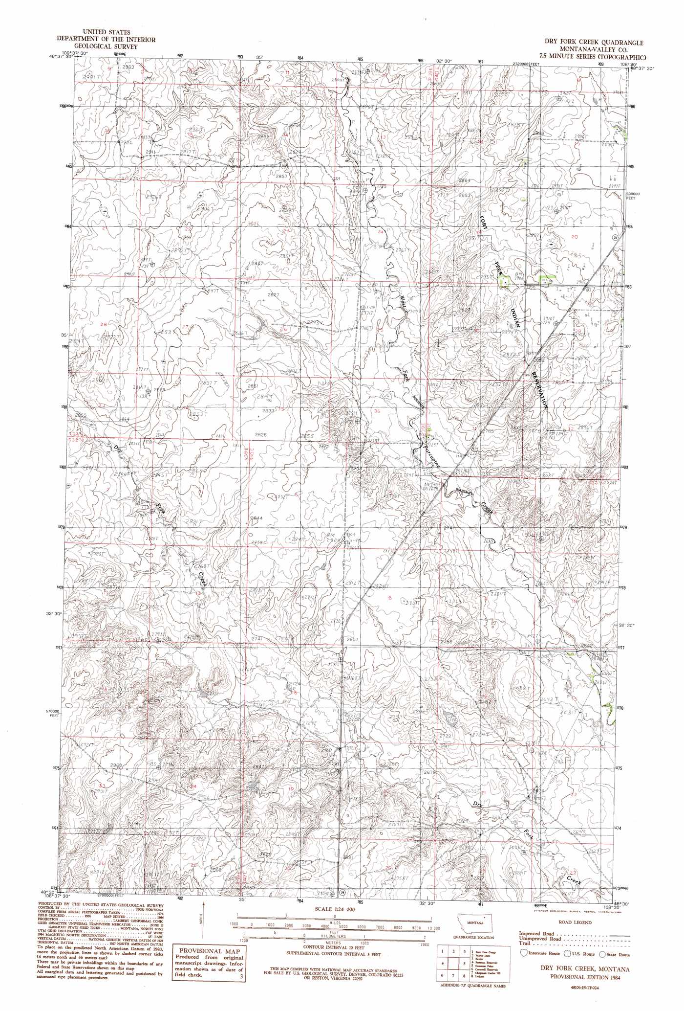
USGS Topo Quad 48106e5 - 1:24,000 scale
| Topo Map Name: | Dry Fork Creek |
| USGS Topo Quad ID: | 48106e5 |
| Print Size: | ca. 21 1/4" wide x 27" high |
| Southeast Coordinates: | 48.5° N latitude / 106.5° W longitude |
| Map Center Coordinates: | 48.5625° N latitude / 106.5625° W longitude |
| U.S. State: | MT |
| Filename: | o48106e5.jpg |
| Download Map JPG Image: | Dry Fork Creek topo map 1:24,000 scale |
| Map Type: | Topographic |
| Topo Series: | 7.5´ |
| Map Scale: | 1:24,000 |
| Source of Map Images: | United States Geological Survey (USGS) |
| Alternate Map Versions: |
Dry Fork Creek MT 1984, updated 1984 Download PDF Buy paper map Dry Fork Creek MT 2011 Download PDF Buy paper map Dry Fork Creek MT 2014 Download PDF Buy paper map |
1:24,000 Topo Quads surrounding Dry Fork Creek
Last Chance Res. |
Dodge Reservoir |
O'Juel Lake |
Opheim |
Glentana West |
Gay Dam |
Kerr Cow Camp |
Wards Dam |
Baylor |
Baylor Ne |
Laundry Hill |
Forsman Reservoir |
Dry Fork Creek |
Cameron Point |
Baylor Se |
Tampico Ne |
Cornwell Reservoir |
Chapman Coulee Ne |
Lookout |
Bullhead Reservoir |
Tampico |
Chapman Coulee |
Hawk Coulee |
Uhlan Coulee |
Sargent Creek |
> Back to 48106e1 at 1:100,000 scale
> Back to 48106a1 at 1:250,000 scale
> Back to U.S. Topo Maps home
No gazetteer data is available for the Dry Fork Creek topo map sheet.
Dry Fork Creek digital topo map on disk
Buy this Dry Fork Creek topo map showing relief, roads, GPS coordinates and other geographical features, as a high-resolution digital map file on DVD:
Eastern Montana & Western North Dakota
Buy digital topo maps: Eastern Montana & Western North Dakota