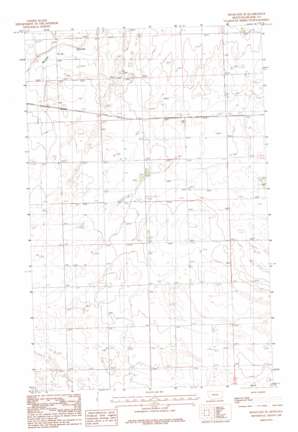
Hogeland Se Topo Map Montana
To zoom in, hover over the map of Hogeland Se
USGS Topo Quad 48108g5 - 1:24,000 scale
| Topo Map Name: | Hogeland Se |
| USGS Topo Quad ID: | 48108g5 |
| Print Size: | ca. 21 1/4" wide x 27" high |
| Southeast Coordinates: | 48.75° N latitude / 108.5° W longitude |
| Map Center Coordinates: | 48.8125° N latitude / 108.5625° W longitude |
| U.S. State: | MT |
| Filename: | o48108g5.jpg |
| Download Map JPG Image: | Hogeland Se topo map 1:24,000 scale |
| Map Type: | Topographic |
| Topo Series: | 7.5´ |
| Map Scale: | 1:24,000 |
| Source of Map Images: | United States Geological Survey (USGS) |
| Alternate Map Versions: |
Hogeland SE MT 1984, updated 1984 Download PDF Buy paper map Hogeland SE MT 2011 Download PDF Buy paper map Hogeland SE MT 2014 Download PDF Buy paper map |
1:24,000 Topo Quads surrounding Hogeland Se
> Back to 48108e1 at 1:100,000 scale
> Back to 48108a1 at 1:250,000 scale
> Back to U.S. Topo Maps home
Hogeland Se topo map: Gazetteer
Hogeland Se: Populated Places
Wing (historical) elevation 954m 3129′Hogeland Se: Post Offices
Cherry Patch Post Office (historical) elevation 949m 3113′Twete Post Office (historical) elevation 955m 3133′
Hogeland Se: Wells
35N24E02CBD_01 Well elevation 942m 3090′35N24E03ABBB01 Well elevation 950m 3116′
35N24E05ADAD01 Well elevation 953m 3126′
35N24E09BDAA01 Well elevation 953m 3126′
35N24E09DBBC01 Well elevation 952m 3123′
35N24E13CCCC01 Well elevation 949m 3113′
35N24E15CCCC01 Well elevation 955m 3133′
36N24E25DADA01 Well elevation 936m 3070′
36N24E26DDDA01 Well elevation 940m 3083′
36N24E35BBBB01 Well elevation 944m 3097′
Hogeland Se digital topo map on disk
Buy this Hogeland Se topo map showing relief, roads, GPS coordinates and other geographical features, as a high-resolution digital map file on DVD:


