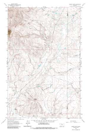
Grassy Butte Topo Map Montana
To zoom in, hover over the map of Grassy Butte
USGS Topo Quad 48111g3 - 1:24,000 scale
| Topo Map Name: | Grassy Butte |
| USGS Topo Quad ID: | 48111g3 |
| Print Size: | ca. 21 1/4" wide x 27" high |
| Southeast Coordinates: | 48.75° N latitude / 111.25° W longitude |
| Map Center Coordinates: | 48.8125° N latitude / 111.3125° W longitude |
| U.S. State: | MT |
| Filename: | o48111g3.jpg |
| Download Map JPG Image: | Grassy Butte topo map 1:24,000 scale |
| Map Type: | Topographic |
| Topo Series: | 7.5´ |
| Map Scale: | 1:24,000 |
| Source of Map Images: | United States Geological Survey (USGS) |
| Alternate Map Versions: |
Grassy Butte MT 1962, updated 1964 Download PDF Buy paper map Grassy Butte MT 1962, updated 1986 Download PDF Buy paper map Grassy Butte MT 2011 Download PDF Buy paper map Grassy Butte MT 2014 Download PDF Buy paper map |
1:24,000 Topo Quads surrounding Grassy Butte
> Back to 48111e1 at 1:100,000 scale
> Back to 48110a1 at 1:250,000 scale
> Back to U.S. Topo Maps home
Grassy Butte topo map: Gazetteer
Grassy Butte: Dams
Capacity Dam elevation 1257m 4124′Chicago Lake Dam elevation 1269m 4163′
Henry Dam Number 1 elevation 1236m 4055′
Henry Dam Number 2 elevation 1187m 3894′
Hofer 1 Dam elevation 1232m 4041′
Hofer 2 Dam elevation 1228m 4028′
Morris Number 2 Dam elevation 1200m 3937′
Oh Henrys Place Dam elevation 1160m 3805′
Swanp Cooler Dam elevation 1262m 4140′
Triple L and ER Fritz Dam elevation 1286m 4219′
Grassy Butte: Lakes
Chicago Lake elevation 1269m 4163′Grassy Butte: Reservoirs
Morris Reservoir elevation 1200m 3937′Grassy Butte: Springs
35N03E20AACC01 Spring elevation 1121m 3677′36N03E27BCB01_ Spring elevation 1402m 4599′
Alkali Spring elevation 1113m 3651′
Grassy Butte: Streams
Strawberry Creek elevation 1116m 3661′Grassy Butte: Summits
Grassy Butte elevation 1316m 4317′Middle Butte elevation 1668m 5472′
Grassy Butte: Valleys
Jack McDonald Coulee elevation 1169m 3835′Johnson Coulee elevation 1131m 3710′
La Plante Coulee elevation 1185m 3887′
Sleeper Coulee elevation 1159m 3802′
Snow Coulee elevation 1189m 3900′
Spring Coulee elevation 1133m 3717′
Wescott Coulee elevation 1129m 3704′
Grassy Butte: Wells
35N03E10ABBD01 Well elevation 1217m 3992′35N03E21BDCD01 Well elevation 1123m 3684′
36N03E14CCCB01 Well elevation 1311m 4301′
36N03E14CCCC01 Well elevation 1308m 4291′
Grassy Butte digital topo map on disk
Buy this Grassy Butte topo map showing relief, roads, GPS coordinates and other geographical features, as a high-resolution digital map file on DVD:


