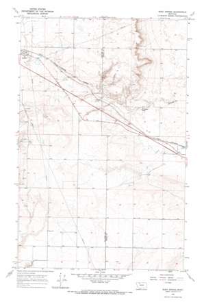
Boru Spring Topo Map Montana
To zoom in, hover over the map of Boru Spring
USGS Topo Quad 48112e2 - 1:24,000 scale
| Topo Map Name: | Boru Spring |
| USGS Topo Quad ID: | 48112e2 |
| Print Size: | ca. 21 1/4" wide x 27" high |
| Southeast Coordinates: | 48.5° N latitude / 112.125° W longitude |
| Map Center Coordinates: | 48.5625° N latitude / 112.1875° W longitude |
| U.S. State: | MT |
| Filename: | o48112e2.jpg |
| Download Map JPG Image: | Boru Spring topo map 1:24,000 scale |
| Map Type: | Topographic |
| Topo Series: | 7.5´ |
| Map Scale: | 1:24,000 |
| Source of Map Images: | United States Geological Survey (USGS) |
| Alternate Map Versions: |
Boru Spring MT 1966, updated 1969 Download PDF Buy paper map Boru Spring MT 2011 Download PDF Buy paper map Boru Spring MT 2014 Download PDF Buy paper map |
1:24,000 Topo Quads surrounding Boru Spring
> Back to 48112e1 at 1:100,000 scale
> Back to 48112a1 at 1:250,000 scale
> Back to U.S. Topo Maps home
Boru Spring topo map: Gazetteer
Boru Spring: Springs
Boru Spring elevation 1124m 3687′Boru Spring: Wells
32N04W08CB__01 Well elevation 1120m 3674′32N04W18ADAA01 Well elevation 1151m 3776′
32N04W20BB__01 Well elevation 1150m 3772′
32N04W20DA__01 Well elevation 1151m 3776′
32N04W21BA__01 Well elevation 1159m 3802′
32N04W28AB__01 Well elevation 1150m 3772′
32N05W10DB__01 Well elevation 1186m 3891′
32N05W11DD__01 Well elevation 1160m 3805′
32N05W13AB__01 Well elevation 1141m 3743′
32N05W14AA__01 Well elevation 1167m 3828′
32N05W14DA__01 Well elevation 1158m 3799′
32N05W22AD__01 Well elevation 1117m 3664′
32N05W23BB__01 Well elevation 1135m 3723′
32N05W24DB__01 Well elevation 1124m 3687′
32N05W25AA__01 Well elevation 1119m 3671′
32N05W25DD__01 Well elevation 1115m 3658′
33N04W31BD__01 Well elevation 1143m 3750′
33N04W31DD__01 Well elevation 1112m 3648′
33N05W13BB__01 Well elevation 1180m 3871′
33N05W13CC__01 Well elevation 1181m 3874′
33N05W22AB__01 Well elevation 1168m 3832′
33N05W23BB__01 Well elevation 1165m 3822′
33N05W26AB__01 Well elevation 1150m 3772′
Boru Spring digital topo map on disk
Buy this Boru Spring topo map showing relief, roads, GPS coordinates and other geographical features, as a high-resolution digital map file on DVD:


