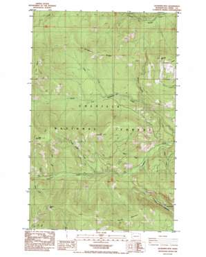
Jackknife Mountain Topo Map Washington
To zoom in, hover over the map of Jackknife Mountain
USGS Topo Quad 48118f3 - 1:24,000 scale
| Topo Map Name: | Jackknife Mountain |
| USGS Topo Quad ID: | 48118f3 |
| Print Size: | ca. 21 1/4" wide x 27" high |
| Southeast Coordinates: | 48.625° N latitude / 118.25° W longitude |
| Map Center Coordinates: | 48.6875° N latitude / 118.3125° W longitude |
| U.S. State: | WA |
| Filename: | o48118f3.jpg |
| Download Map JPG Image: | Jackknife Mountain topo map 1:24,000 scale |
| Map Type: | Topographic |
| Topo Series: | 7.5´ |
| Map Scale: | 1:24,000 |
| Source of Map Images: | United States Geological Survey (USGS) |
| Alternate Map Versions: |
Jackknife Mtn WA 1985, updated 1985 Download PDF Buy paper map Jackknife Mtn WA 1992, updated 1996 Download PDF Buy paper map Jackknife Mountain WA 2011 Download PDF Buy paper map Jackknife Mountain WA 2014 Download PDF Buy paper map |
| FStopo: | US Forest Service topo Jackknife Mountain is available: Download FStopo PDF Download FStopo TIF |
1:24,000 Topo Quads surrounding Jackknife Mountain
> Back to 48118e1 at 1:100,000 scale
> Back to 48118a1 at 1:250,000 scale
> Back to U.S. Topo Maps home
Jackknife Mountain topo map: Gazetteer
Jackknife Mountain: Lakes
Emerald Lake elevation 946m 3103′Lilly Lake elevation 969m 3179′
Jackknife Mountain: Ridges
Alligator Ridge elevation 1481m 4858′Jackknife Mountain: Streams
Bailey Creek elevation 820m 2690′Betty Creek elevation 1035m 3395′
Graves Creek elevation 1232m 4041′
High Bridge Creek elevation 1007m 3303′
Hoodoo Creek elevation 787m 2582′
M J B Creek elevation 903m 2962′
Wash Creek elevation 1145m 3756′
Jackknife Mountain: Summits
C C Mountain elevation 1591m 5219′Coyote Mountain elevation 1633m 5357′
Graves Mountain elevation 1804m 5918′
Jackknife Mountain elevation 1541m 5055′
Mack Mountain elevation 1882m 6174′
Twin Sisters elevation 1833m 6013′
Jackknife Mountain: Valleys
Hoodoo Canyon elevation 901m 2956′Merkel Canyon elevation 910m 2985′
Jackknife Mountain digital topo map on disk
Buy this Jackknife Mountain topo map showing relief, roads, GPS coordinates and other geographical features, as a high-resolution digital map file on DVD:


