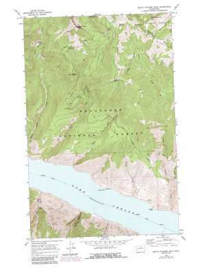
South Navarre Peak Topo Map Washington
To zoom in, hover over the map of South Navarre Peak
USGS Topo Quad 48120a3 - 1:24,000 scale
| Topo Map Name: | South Navarre Peak |
| USGS Topo Quad ID: | 48120a3 |
| Print Size: | ca. 21 1/4" wide x 27" high |
| Southeast Coordinates: | 48° N latitude / 120.25° W longitude |
| Map Center Coordinates: | 48.0625° N latitude / 120.3125° W longitude |
| U.S. State: | WA |
| Filename: | o48120a3.jpg |
| Download Map JPG Image: | South Navarre Peak topo map 1:24,000 scale |
| Map Type: | Topographic |
| Topo Series: | 7.5´ |
| Map Scale: | 1:24,000 |
| Source of Map Images: | United States Geological Survey (USGS) |
| Alternate Map Versions: |
South Navarre Peak WA 1968, updated 1972 Download PDF Buy paper map South Navarre Peak WA 1968, updated 1987 Download PDF Buy paper map South Navarre Peak WA 2004, updated 2008 Download PDF Buy paper map South Navarre Peak WA 2011 Download PDF Buy paper map South Navarre Peak WA 2014 Download PDF Buy paper map |
| FStopo: | US Forest Service topo South Navarre Peak is available: Download FStopo PDF Download FStopo TIF |
1:24,000 Topo Quads surrounding South Navarre Peak
> Back to 48120a1 at 1:100,000 scale
> Back to 48120a1 at 1:250,000 scale
> Back to U.S. Topo Maps home
South Navarre Peak topo map: Gazetteer
South Navarre Peak: Capes
Deer Point elevation 337m 1105′Limekiln Point elevation 349m 1145′
South Navarre Peak: Gaps
Summer Blossom elevation 1997m 6551′South Navarre Peak: Ridges
Coyote Ridge elevation 1977m 6486′South Navarre Peak: Springs
Coyote Spring elevation 1874m 6148′South Navarre Peak: Streams
Camas Creek elevation 336m 1102′Coyote Creek elevation 338m 1108′
Falls Creek elevation 342m 1122′
Grade Creek elevation 336m 1102′
Little Grade Creek elevation 654m 2145′
Still Creek elevation 336m 1102′
South Navarre Peak: Summits
End Mountain elevation 2199m 7214′Nelson Butte elevation 1906m 6253′
South Navarre Peak elevation 2342m 7683′
South Navarre Peak: Valleys
Box Canyon elevation 348m 1141′South Navarre Peak digital topo map on disk
Buy this South Navarre Peak topo map showing relief, roads, GPS coordinates and other geographical features, as a high-resolution digital map file on DVD:


