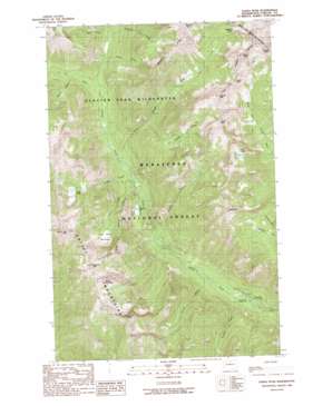
Saska Peak Topo Map Washington
To zoom in, hover over the map of Saska Peak
USGS Topo Quad 48120a6 - 1:24,000 scale
| Topo Map Name: | Saska Peak |
| USGS Topo Quad ID: | 48120a6 |
| Print Size: | ca. 21 1/4" wide x 27" high |
| Southeast Coordinates: | 48° N latitude / 120.625° W longitude |
| Map Center Coordinates: | 48.0625° N latitude / 120.6875° W longitude |
| U.S. State: | WA |
| Filename: | o48120a6.jpg |
| Download Map JPG Image: | Saska Peak topo map 1:24,000 scale |
| Map Type: | Topographic |
| Topo Series: | 7.5´ |
| Map Scale: | 1:24,000 |
| Source of Map Images: | United States Geological Survey (USGS) |
| Alternate Map Versions: |
Saska Peak WA 1988, updated 1988 Download PDF Buy paper map Saska Peak WA 1988, updated 1988 Download PDF Buy paper map Saska Peak WA 2004, updated 2008 Download PDF Buy paper map Saska Peak WA 2011 Download PDF Buy paper map Saska Peak WA 2014 Download PDF Buy paper map |
| FStopo: | US Forest Service topo Saska Peak is available: Download FStopo PDF Download FStopo TIF |
1:24,000 Topo Quads surrounding Saska Peak
> Back to 48120a1 at 1:100,000 scale
> Back to 48120a1 at 1:250,000 scale
> Back to U.S. Topo Maps home
Saska Peak topo map: Gazetteer
Saska Peak: Gaps
Borealis Pass elevation 1930m 6332′Milham Pass elevation 2035m 6676′
Saska Pass elevation 2217m 7273′
Saska Peak: Lakes
Choral Lake elevation 2203m 7227′Fern Lake elevation 2103m 6899′
Larch Lakes elevation 1738m 5702′
Myrtle Lake elevation 1148m 3766′
Saska Peak: Ridges
Borealis Ridge elevation 2258m 7408′Saska Peak: Streams
Anthem Creek elevation 1070m 3510′Aurora Creek elevation 1303m 4274′
Choral Creek elevation 1464m 4803′
Cool Creek elevation 1333m 4373′
Cow Creek elevation 1183m 3881′
Garland Creek elevation 964m 3162′
Ice Creek elevation 1213m 3979′
Larch Lakes Creek elevation 1136m 3727′
Pinnacle Creek elevation 1327m 4353′
Pomas Creek elevation 1297m 4255′
Shetipo Creek elevation 947m 3106′
Snow Brushy Creek elevation 1154m 3786′
Saska Peak: Summits
Borealis Peak elevation 2006m 6581′Devils Smoke Stack elevation 2322m 7618′
Duncan Hill elevation 2377m 7798′
Emerald Peak elevation 2542m 8339′
Fifth of July Mountain elevation 2345m 7693′
Garland Peak elevation 2258m 7408′
Gopher Mountain elevation 2441m 8008′
Rampart Mountain elevation 2347m 7700′
Saska Peak elevation 2563m 8408′
Saska Peak: Swamps
Cow Creek Meadows elevation 1548m 5078′Saska Peak: Trails
Duncan Hill Trail elevation 2067m 6781′Saska Peak digital topo map on disk
Buy this Saska Peak topo map showing relief, roads, GPS coordinates and other geographical features, as a high-resolution digital map file on DVD:


