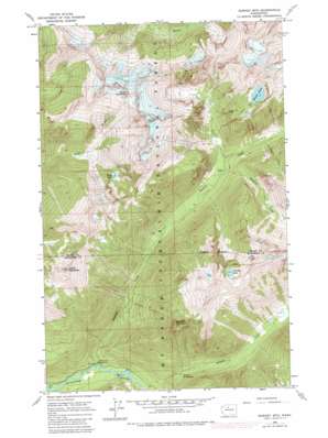
Downey Mountain Topo Map Washington
To zoom in, hover over the map of Downey Mountain
USGS Topo Quad 48121c2 - 1:24,000 scale
| Topo Map Name: | Downey Mountain |
| USGS Topo Quad ID: | 48121c2 |
| Print Size: | ca. 21 1/4" wide x 27" high |
| Southeast Coordinates: | 48.25° N latitude / 121.125° W longitude |
| Map Center Coordinates: | 48.3125° N latitude / 121.1875° W longitude |
| U.S. State: | WA |
| Filename: | o48121c2.jpg |
| Download Map JPG Image: | Downey Mountain topo map 1:24,000 scale |
| Map Type: | Topographic |
| Topo Series: | 7.5´ |
| Map Scale: | 1:24,000 |
| Source of Map Images: | United States Geological Survey (USGS) |
| Alternate Map Versions: |
Downey Mtn WA 1963, updated 1965 Download PDF Buy paper map Downey Mtn WA 1963, updated 1972 Download PDF Buy paper map Downey Mtn WA 1963, updated 1983 Download PDF Buy paper map Downey Mountain WA 2011 Download PDF Buy paper map Downey Mountain WA 2014 Download PDF Buy paper map |
| FStopo: | US Forest Service topo Downey Mountain is available: Download FStopo PDF Download FStopo TIF |
1:24,000 Topo Quads surrounding Downey Mountain
> Back to 48121a1 at 1:100,000 scale
> Back to 48120a1 at 1:250,000 scale
> Back to U.S. Topo Maps home
Downey Mountain topo map: Gazetteer
Downey Mountain: Lakes
Bench Lake elevation 1597m 5239′Downey Lake elevation 1650m 5413′
Horse Lake elevation 1350m 4429′
Pilot Lake elevation 1706m 5597′
Downey Mountain: Springs
Sulphur Hot Springs elevation 576m 1889′Downey Mountain: Streams
Bachelor Creek elevation 744m 2440′Bench Creek elevation 928m 3044′
Downey Creek elevation 424m 1391′
Goat Creek elevation 761m 2496′
Downey Mountain: Summits
Downey Mountain elevation 1811m 5941′Green Mountain elevation 1950m 6397′
Mount Buckindy elevation 2186m 7171′
Mount Misch (not official) elevation 2176m 7139′
Downey Mountain digital topo map on disk
Buy this Downey Mountain topo map showing relief, roads, GPS coordinates and other geographical features, as a high-resolution digital map file on DVD:


