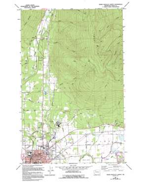
Sedro-Woolley North Topo Map Washington
To zoom in, hover over the map of Sedro-Woolley North
USGS Topo Quad 48122e2 - 1:24,000 scale
| Topo Map Name: | Sedro-Woolley North |
| USGS Topo Quad ID: | 48122e2 |
| Print Size: | ca. 21 1/4" wide x 27" high |
| Southeast Coordinates: | 48.5° N latitude / 122.125° W longitude |
| Map Center Coordinates: | 48.5625° N latitude / 122.1875° W longitude |
| U.S. State: | WA |
| Filename: | o48122e2.jpg |
| Download Map JPG Image: | Sedro-Woolley North topo map 1:24,000 scale |
| Map Type: | Topographic |
| Topo Series: | 7.5´ |
| Map Scale: | 1:24,000 |
| Source of Map Images: | United States Geological Survey (USGS) |
| Alternate Map Versions: |
Sedro-Woolley North WA 1981, updated 1981 Download PDF Buy paper map Sedro-Woolley North WA 1981, updated 1994 Download PDF Buy paper map Sedro-Woolley North WA 2011 Download PDF Buy paper map Sedro-Woolley North WA 2014 Download PDF Buy paper map |
| FStopo: | US Forest Service topo Sedro-Woolley North is available: Download FStopo PDF Download FStopo TIF |
1:24,000 Topo Quads surrounding Sedro-Woolley North
> Back to 48122e1 at 1:100,000 scale
> Back to 48122a1 at 1:250,000 scale
> Back to U.S. Topo Maps home
Sedro-Woolley North topo map: Gazetteer
Sedro-Woolley North: Lakes
Bottomless Lake elevation 62m 203′Cranberry Lake elevation 99m 324′
Sedro-Woolley North: Mines
Cokedale Mine elevation 184m 603′Sedro-Woolley North: Populated Places
Cokedale elevation 23m 75′Prairie elevation 83m 272′
Sedro-Woolley elevation 17m 55′
Thornwood elevation 76m 249′
Sedro-Woolley North: Streams
Coal Creek elevation 13m 42′Hansen Creek elevation 16m 52′
Jackson Creek elevation 81m 265′
Mills Creek elevation 77m 252′
Thunder Creek elevation 70m 229′
Wiseman Creek elevation 16m 52′
Sedro-Woolley North: Summits
Dukes Hill elevation 87m 285′Goat Hill elevation 91m 298′
Lyman Hill elevation 1119m 3671′
Sedro-Woolley North digital topo map on disk
Buy this Sedro-Woolley North topo map showing relief, roads, GPS coordinates and other geographical features, as a high-resolution digital map file on DVD:


