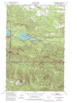
Lake Sutherland Topo Map Washington
To zoom in, hover over the map of Lake Sutherland
USGS Topo Quad 48123a6 - 1:24,000 scale
| Topo Map Name: | Lake Sutherland |
| USGS Topo Quad ID: | 48123a6 |
| Print Size: | ca. 21 1/4" wide x 27" high |
| Southeast Coordinates: | 48° N latitude / 123.625° W longitude |
| Map Center Coordinates: | 48.0625° N latitude / 123.6875° W longitude |
| U.S. State: | WA |
| Filename: | o48123a6.jpg |
| Download Map JPG Image: | Lake Sutherland topo map 1:24,000 scale |
| Map Type: | Topographic |
| Topo Series: | 7.5´ |
| Map Scale: | 1:24,000 |
| Source of Map Images: | United States Geological Survey (USGS) |
| Alternate Map Versions: |
Lake Sutherland WA 1950, updated 1955 Download PDF Buy paper map Lake Sutherland WA 1950, updated 1975 Download PDF Buy paper map Lake Sutherland WA 1950, updated 1985 Download PDF Buy paper map Lake Sutherland WA 2011 Download PDF Buy paper map Lake Sutherland WA 2014 Download PDF Buy paper map |
| FStopo: | US Forest Service topo Lake Sutherland is available: Download FStopo PDF Download FStopo TIF |
1:24,000 Topo Quads surrounding Lake Sutherland
> Back to 48123a1 at 1:100,000 scale
> Back to 48122a1 at 1:250,000 scale
> Back to U.S. Topo Maps home
Lake Sutherland topo map: Gazetteer
Lake Sutherland: Airports
Big Andy Airport elevation 266m 872′Lake Sutherland: Flats
Bear Valley elevation 340m 1115′Lake Sutherland: Lakes
Happy Lake elevation 1491m 4891′Lake Sutherland elevation 154m 505′
Lake Sutherland: Populated Places
Maple Grove elevation 154m 505′Ramapo elevation 79m 259′
Snug Harbor elevation 164m 538′
Lake Sutherland: Ridges
Baldy Ridge elevation 1419m 4655′Happy Lake Ridge elevation 1651m 5416′
Lake Sutherland: Streams
Falls Creek elevation 154m 505′Happy Lake Creek elevation 634m 2080′
Lake Sutherland: Summits
Lizard Head Peak elevation 1633m 5357′Mount Baldy elevation 1415m 4642′
Mount Storm King elevation 1383m 4537′
Lake Sutherland: Trails
Happy Lake Ridge Trail elevation 1289m 4229′Lake Sutherland digital topo map on disk
Buy this Lake Sutherland topo map showing relief, roads, GPS coordinates and other geographical features, as a high-resolution digital map file on DVD:


