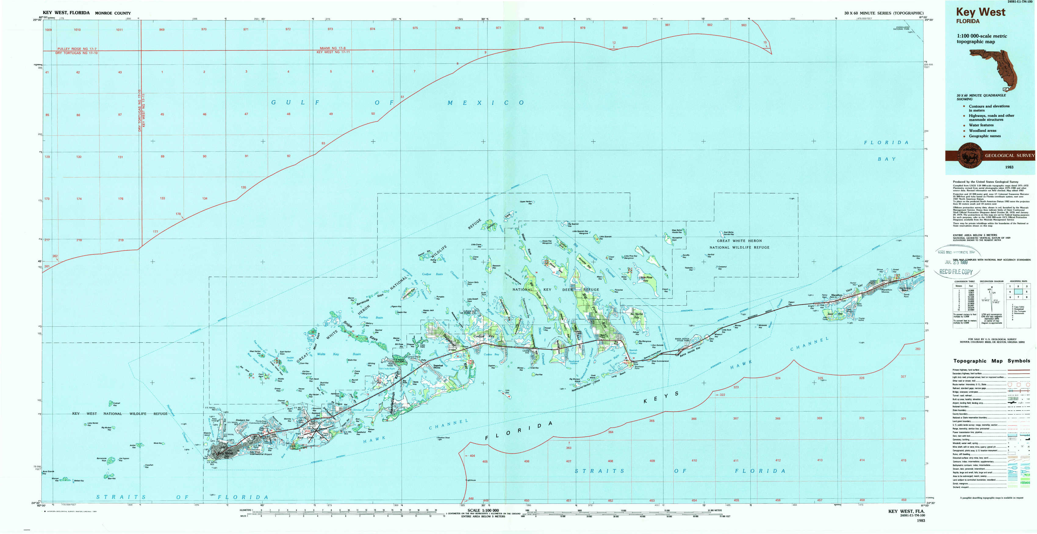
Key West Topo Map Florida
To zoom in, hover over the map of Key West
USGS Topo Map 24081e1 - 1:100,000 scale
| Topo Map Name: | Key West |
| USGS Topo Quad ID: | 24081e1 |
| Print Size: | ca. 39" wide x 24" high |
| Southeast Coordinates: | 24.5° N latitude / 81° W longitude |
| Map Center Coordinates: | 24.75° N latitude / 81.5° W longitude |
| U.S. State: | FL |
| Filename: | 24081e1.jpg |
| Download Map JPG Image: | Key West topo map 1:100,000 scale |
| Map Type: | Topographic |
| Topo Series: | 30´x60´ |
| Map Scale: | 1:100,000 |
| Source of Map Images: | United States Geological Survey (USGS) |
| Alternate Map Versions: |
Key West FL 1983, updated 1984 Download PDF Buy paper map Key West FL 1983, updated 1984 Download PDF Buy paper map |
1:100,000 Topos surrounding Key West
Cape Sable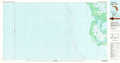 |
Homestead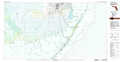 |
|
Dry Tortugas |
Key West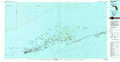 |
Islamorada |
> Back to 24080a1 at 1:250,000 scale
> Back to U.S. Topo Maps home
1:24,000 Topo Quads covered by the spatial extent of this 100k map (Key West)
|
East Bahia Honda Key Ne 
|
|||||||
|
Sawyer Key 
|
Content Keys 
|
Horseshoe Keys 
|
East Bahia Honda Key 
|
Bamboo Key 
|
|||
|
Bay Keys 
|
Snipe Keys 
|
Sugarloaf Key 
|
Summerland Key 
|
Big Pine Key 
|
Sevenmile Bridge 
|
Marathon 
|
|
|
Cottrell Key 
|
Key West 
|
Boca Chica Key 
|
Saddlebunch Keys 
|
Key Lois 
|