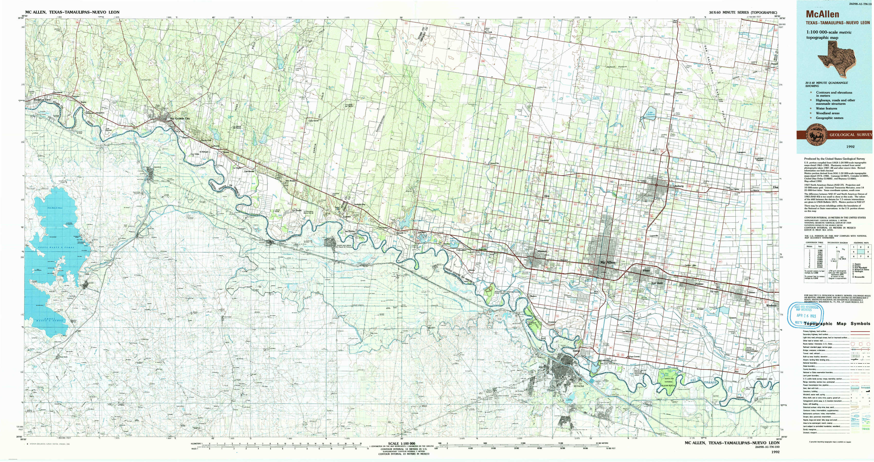
Mc Allen Topo Map Texas
To zoom in, hover over the map of Mc Allen
USGS Topo Map 26098a1 - 1:100,000 scale
| Topo Map Name: | Mc Allen |
| USGS Topo Quad ID: | 26098a1 |
| Print Size: | ca. 39" wide x 24" high |
| Southeast Coordinates: | 26° N latitude / 98° W longitude |
| Map Center Coordinates: | 26.25° N latitude / 98.5° W longitude |
| U.S. State: | TX |
| Filename: | 26098a1.jpg |
| Download Map JPG Image: | Mc Allen topo map 1:100,000 scale |
| Map Type: | Topographic |
| Topo Series: | 30´x60´ |
| Map Scale: | 1:100,000 |
| Source of Map Images: | United States Geological Survey (USGS) |
| Alternate Map Versions: |
Mc Allen TX 1992, updated 1993 Download PDF Buy paper map |
1:100,000 Topos surrounding Mc Allen
Zapata |
Encino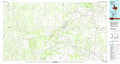 |
Port Mansfield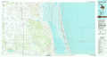 |
Roma-Los Saenz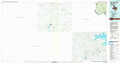 |
Mc Allen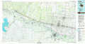 |
Harlingen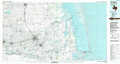 |
Brownsville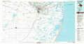 |
> Back to 26098a1 at 1:250,000 scale
> Back to U.S. Topo Maps home
1:24,000 Topo Quads covered by the spatial extent of this 100k map (Mc Allen)
|
Roma-Los Saenz East 
|
Rio Grande City North 
|
Sagunada Ranch 
|
Camp Garcia 
|
Mccook 
|
Monte Christo 
|
Faysville 
|
Hargill 
|
|
Los Garzas 
|
Rio Grande City South 
|
La Grulla 
|
Sullivan City 
|
Citrus City 
|
Alton 
|
Edinburg 
|
La Blanca 
|
|
Los Ebanos Nw 
|
Los Ebanos 
|
La Joya 
|
Mission 
|
Pharr 
|
Donna 
|
||
|
Hidalgo 
|
Las Milpas 
|
San Juan Se 
|