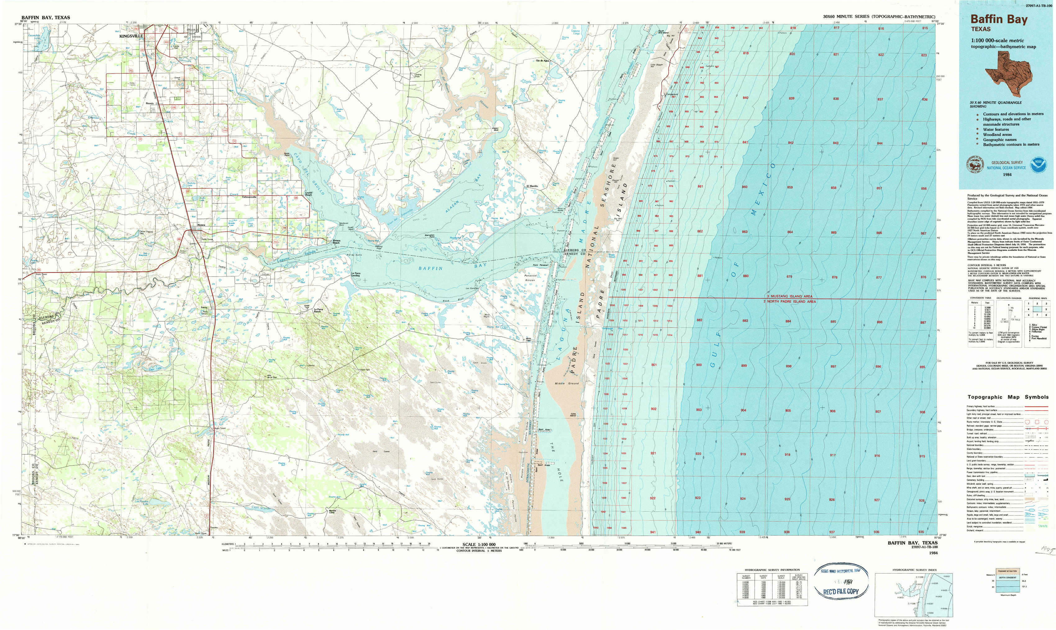
Baffin Bay Topo Map Texas
To zoom in, hover over the map of Baffin Bay
USGS Topo Map 27097a1 - 1:100,000 scale
| Topo Map Name: | Baffin Bay |
| USGS Topo Quad ID: | 27097a1 |
| Print Size: | ca. 39" wide x 24" high |
| Southeast Coordinates: | 27° N latitude / 97° W longitude |
| Map Center Coordinates: | 27.25° N latitude / 97.5° W longitude |
| U.S. State: | TX |
| Filename: | 27097a1.jpg |
| Download Map JPG Image: | Baffin Bay topo map 1:100,000 scale |
| Map Type: | Topographic |
| Topo Series: | 30´x60´ |
| Map Scale: | 1:100,000 |
| Source of Map Images: | United States Geological Survey (USGS) |
| Alternate Map Versions: |
Baffin Bay TX 1984, updated 1984 Download PDF Buy paper map |
1:100,000 Topos surrounding Baffin Bay
Alice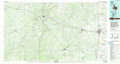 |
Corpus Christi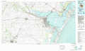 |
Allyns Bight |
Falfurrias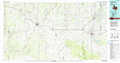 |
Baffin Bay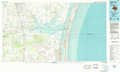 |
|
Encino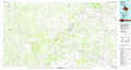 |
Port Mansfield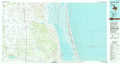 |
> Back to 27096a1 at 1:250,000 scale
> Back to U.S. Topo Maps home
1:24,000 Topo Quads covered by the spatial extent of this 100k map (Baffin Bay)
|
Escondido Lake 
|
Ricardo 
|
Riviera Beach Nw 
|
Riviera Beach Ne 
|
South Bird Island Nw 
|
South Bird Island 
|
||
|
Paisano Lake 
|
Riviera 
|
Riviera Beach 
|
Kleberg Point 
|
Point Of Rocks 
|
South Bird Island Se 
|
||
|
La Paloma Ranch 
|
Sarita 
|
La Parra Ranch 
|
La Parra Ranch Ne 
|
Yarborough Pass 
|
|||
|
Sarita Sw 
|
Turcotte 
|
La Parra Ranch Sw 
|
La Parra Ranch Se 
|
Potrero Cortado 
|