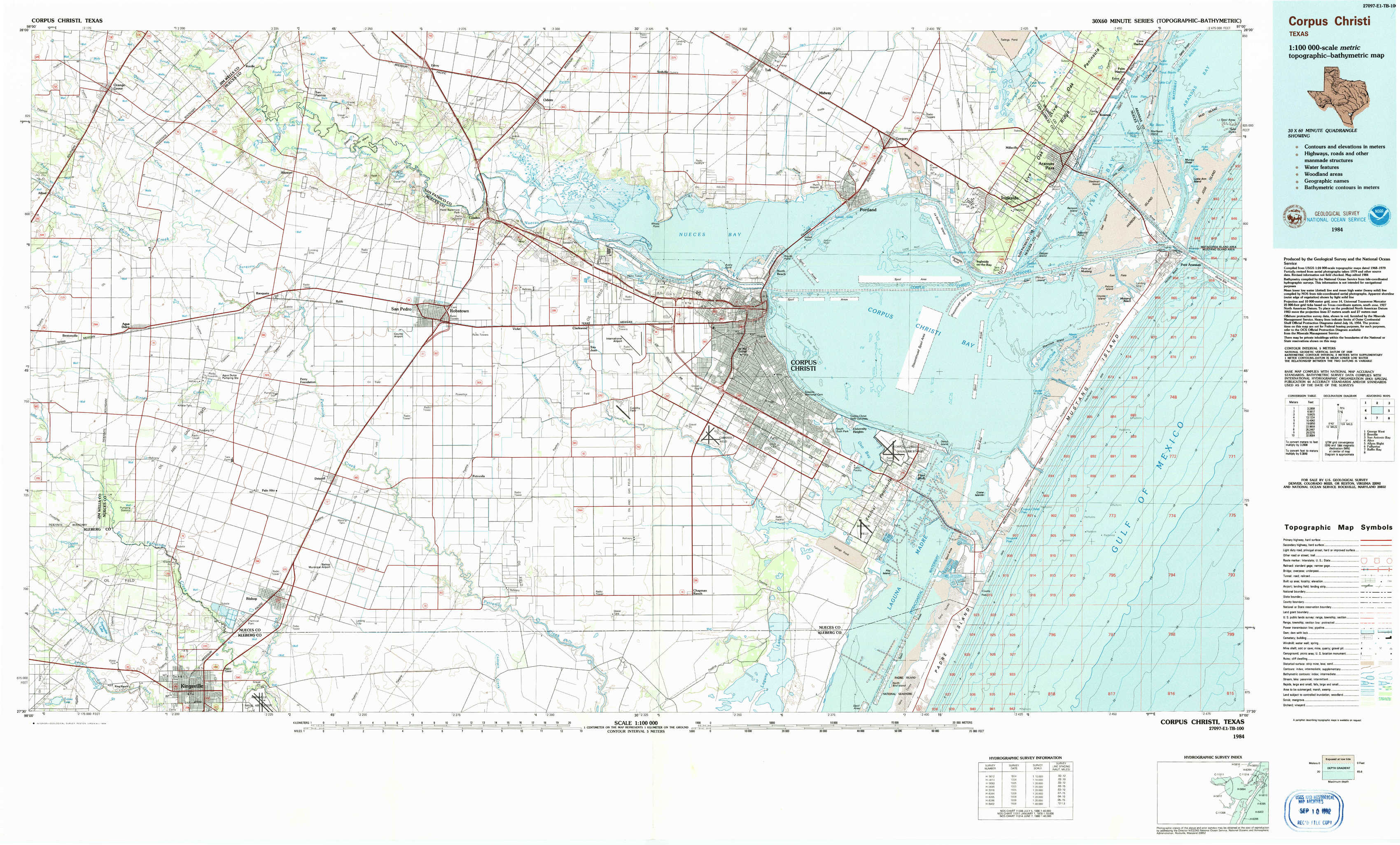
Corpus Christi Topo Map Texas
To zoom in, hover over the map of Corpus Christi
USGS Topo Map 27097e1 - 1:100,000 scale
| Topo Map Name: | Corpus Christi |
| USGS Topo Quad ID: | 27097e1 |
| Print Size: | ca. 39" wide x 24" high |
| Southeast Coordinates: | 27.5° N latitude / 97° W longitude |
| Map Center Coordinates: | 27.75° N latitude / 97.5° W longitude |
| U.S. State: | TX |
| Filename: | 27097e1.jpg |
| Download Map JPG Image: | Corpus Christi topo map 1:100,000 scale |
| Map Type: | Topographic |
| Topo Series: | 30´x60´ |
| Map Scale: | 1:100,000 |
| Source of Map Images: | United States Geological Survey (USGS) |
| Alternate Map Versions: |
Corpus Christi TX 1984, updated 1984 Download PDF Buy paper map |
1:100,000 Topos surrounding Corpus Christi
George West |
Beeville |
San Antonio Bay |
Alice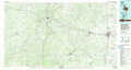 |
Corpus Christi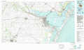 |
Allyns Bight |
Falfurrias |
Baffin Bay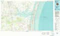 |
> Back to 27096a1 at 1:250,000 scale
> Back to U.S. Topo Maps home
1:24,000 Topo Quads covered by the spatial extent of this 100k map (Corpus Christi)
|
Orange Grove 
|
San Patricio 
|
Edroy 
|
Odem 
|
Taft 
|
Gregory 
|
Aransas Pass 
|
Estes 
|
|
Agua Dulce 
|
Banquete 
|
Robstown 
|
Annaville 
|
Corpus Christi 
|
Portland 
|
Port Ingleside 
|
Port Aransas 
|
|
Kingsville Nw 
|
Driscoll West 
|
Driscoll East 
|
Petronila Ne 
|
Oso Creek Nw 
|
Oso Creek Ne 
|
Crane Islands Nw 
|
|
|
Kingsville West 
|
Kingsville East 
|
Concordia 
|
Laureles Ranch 
|
Chapman Ranch 
|
Pita Island 
|
Crane Islands Sw 
|