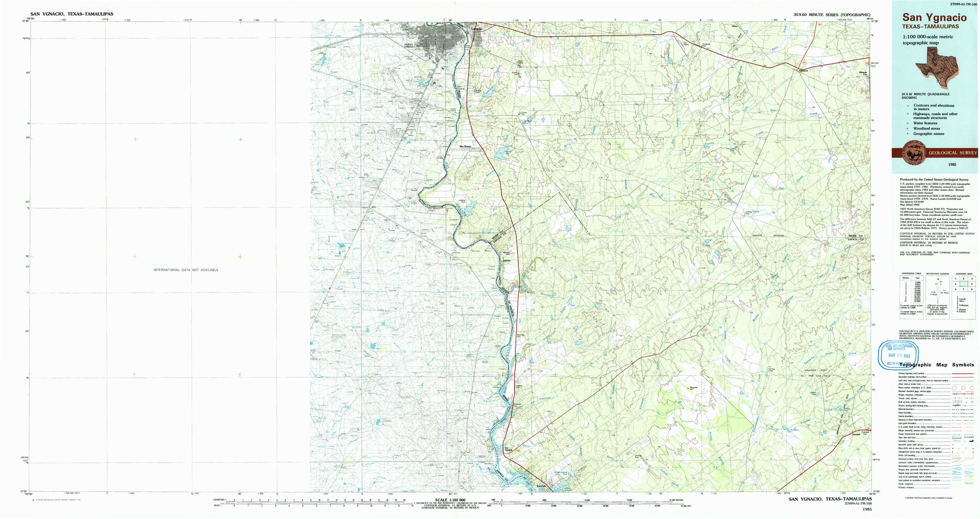
San Ygnacio Topo Map Texas
To zoom in, hover over the map of San Ygnacio
USGS Topo Map 27099a1 - 1:100,000 scale
| Topo Map Name: | San Ygnacio |
| USGS Topo Quad ID: | 27099a1 |
| Print Size: | ca. 39" wide x 24" high |
| Southeast Coordinates: | 27° N latitude / 99° W longitude |
| Map Center Coordinates: | 27.25° N latitude / 99.5° W longitude |
| U.S. State: | TX |
| Filename: | 27099a1.jpg |
| Download Map JPG Image: | San Ygnacio topo map 1:100,000 scale |
| Map Type: | Topographic |
| Topo Series: | 30´x60´ |
| Map Scale: | 1:100,000 |
| Source of Map Images: | United States Geological Survey (USGS) |
| Alternate Map Versions: |
San Ygnacio TX 1985, updated 1985 Download PDF Buy paper map San Ygnacio TX 1985, updated 1993 Download PDF Buy paper map San Ygnacio TX 1985, updated 1993 Download PDF Buy paper map |
1:100,000 Topos surrounding San Ygnacio
Laredo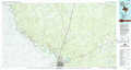 |
Alice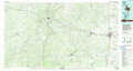 |
|
San Ygnacio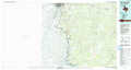 |
Falfurrias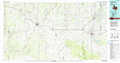 |
|
Zapata |
Encino |
> Back to 27098a1 at 1:250,000 scale
> Back to U.S. Topo Maps home
1:24,000 Topo Quads covered by the spatial extent of this 100k map (San Ygnacio)
|
Laredo South 
|
Blancas Creek North 
|
Retama Creek 
|
Mirando City 
|
||||
|
Isla Mesteno 
|
O'Keefe Lake 
|
Blancas Creek South 
|
Agua Azul Creek West 
|
Agua Azul Creek East 
|
|||
|
Arroyo Salado West 
|
Arroyo Salado East 
|
Las Ovejas Creek 
|
Chargos Creek 
|
||||
|
San Ygnacio 
|
Arroyo Burro 
|
Mogotes Hill 
|
Escobas 
|