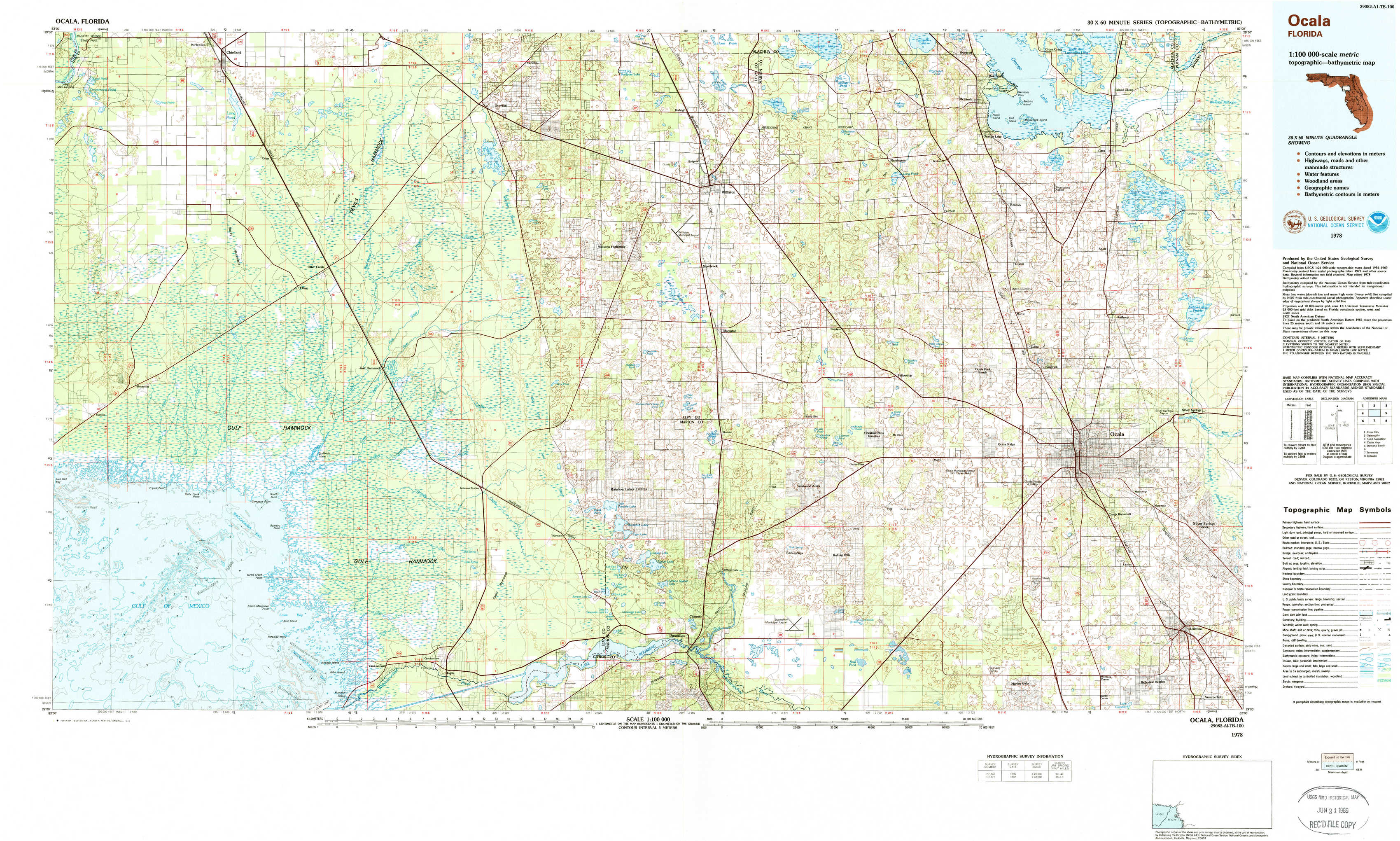
Ocala Topo Map Florida
To zoom in, hover over the map of Ocala
USGS Topo Map 29082a1 - 1:100,000 scale
| Topo Map Name: | Ocala |
| USGS Topo Quad ID: | 29082a1 |
| Print Size: | ca. 39" wide x 24" high |
| Southeast Coordinates: | 29° N latitude / 82° W longitude |
| Map Center Coordinates: | 29.25° N latitude / 82.5° W longitude |
| U.S. State: | FL |
| Filename: | 29082a1.jpg |
| Download Map JPG Image: | Ocala topo map 1:100,000 scale |
| Map Type: | Topographic |
| Topo Series: | 30´x60´ |
| Map Scale: | 1:100,000 |
| Source of Map Images: | United States Geological Survey (USGS) |
| Alternate Map Versions: |
Ocala FL 1978, updated 1980 Download PDF Buy paper map Ocala FL 1978, updated 1985 Download PDF Buy paper map |
1:100,000 Topos surrounding Ocala
Cross City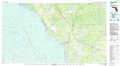 |
Gainesville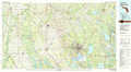 |
Saint Augustine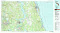 |
Cedar Keys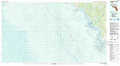 |
Ocala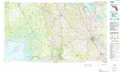 |
Daytona Beach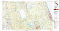 |
Inverness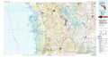 |
Orlando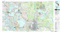 |
> Back to 29082a1 at 1:250,000 scale
> Back to U.S. Topo Maps home
1:24,000 Topo Quads covered by the spatial extent of this 100k map (Ocala)
|
Manatee Springs 
|
Chiefland 
|
Bronson 
|
Bronson Ne 
|
Williston 
|
Flemington 
|
Mcintosh 
|
Citra 
|
|
Chiefland Sw 
|
Otter Creek 
|
Bronson Sw 
|
Bronson Se 
|
Morriston 
|
Fairfield 
|
Reddick 
|
Anthony 
|
|
Sumner 
|
Waccasassa Bay 
|
Lebanon Station 
|
Tidewater 
|
Romeo 
|
Cotton Plant 
|
Ocala West 
|
Ocala East 
|
|
Withlacoochee Bay 
|
Yankeetown 
|
Yankeetown Se 
|
Dunnellon 
|
Dunnellon Se 
|
Shady 
|
Belleview 
|