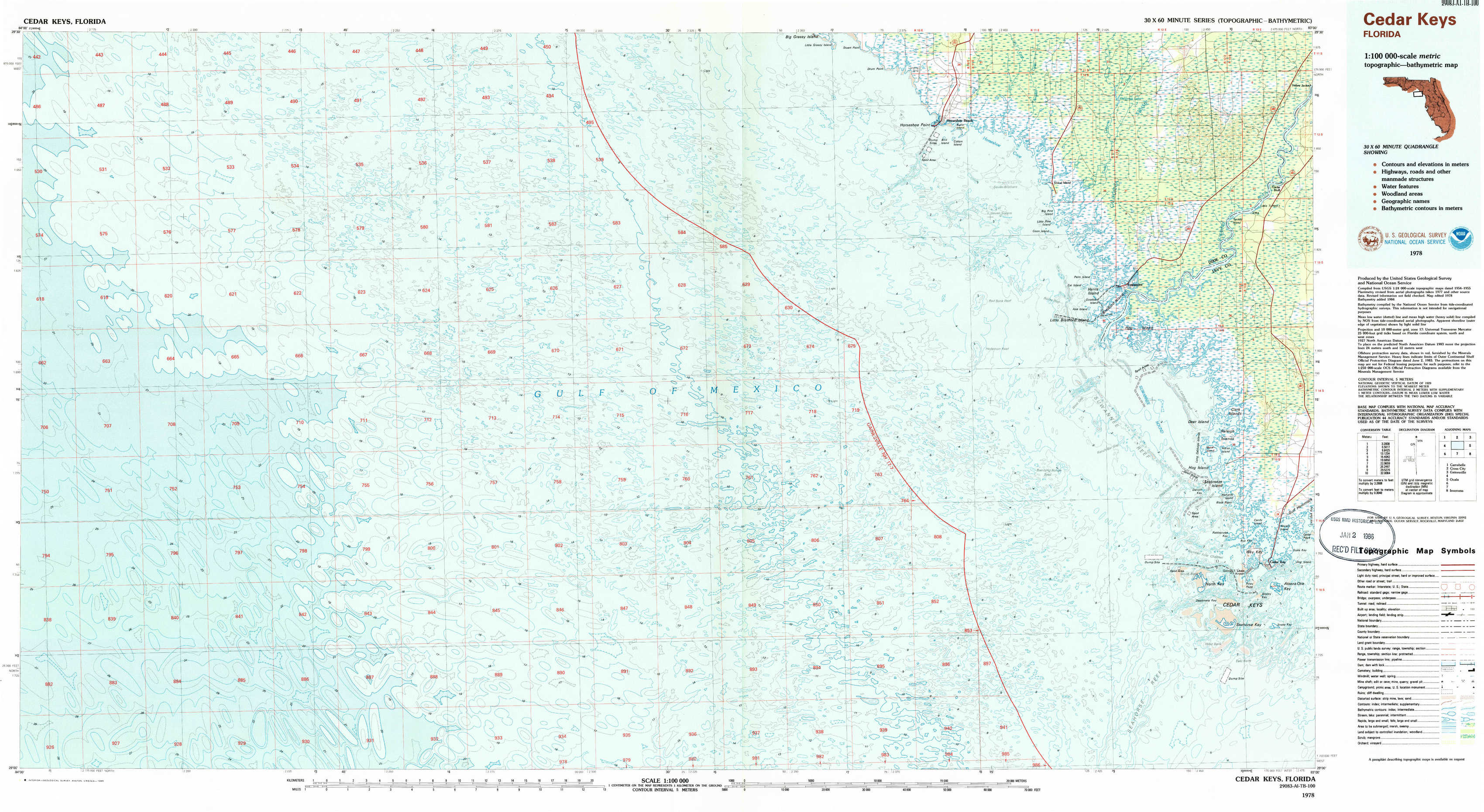
Cedar Keys Topo Map Florida
To zoom in, hover over the map of Cedar Keys
USGS Topo Map 29083a1 - 1:100,000 scale
| Topo Map Name: | Cedar Keys |
| USGS Topo Quad ID: | 29083a1 |
| Print Size: | ca. 39" wide x 24" high |
| Southeast Coordinates: | 29° N latitude / 83° W longitude |
| Map Center Coordinates: | 29.25° N latitude / 83.5° W longitude |
| U.S. State: | FL |
| Filename: | 29083a1.jpg |
| Download Map JPG Image: | Cedar Keys topo map 1:100,000 scale |
| Map Type: | Topographic |
| Topo Series: | 30´x60´ |
| Map Scale: | 1:100,000 |
| Source of Map Images: | United States Geological Survey (USGS) |
| Alternate Map Versions: |
Cedar Keys FL 1978, updated 1980 Download PDF Buy paper map Cedar Keys FL 1978, updated 1985 Download PDF Buy paper map Cedar Keys FL 1978, updated 1985 Download PDF Buy paper map |
1:100,000 Topos surrounding Cedar Keys
Carrabelle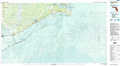 |
Cross City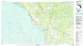 |
Gainesville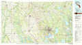 |
Cedar Keys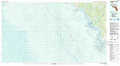 |
Ocala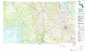 |
|
Inverness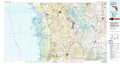 |
> Back to 29082a1 at 1:250,000 scale
> Back to U.S. Topo Maps home
1:24,000 Topo Quads covered by the spatial extent of this 100k map (Cedar Keys)
|
Horseshoe Beach 
|
Shired Island 
|
Vista 
|
|||||
|
Suwannee 
|
East Pass 
|
||||||
|
Cedar Key 
|
|||||||
|
Seahorse Key 
|