Eagle Lake Topo Map Texas
To zoom in, hover over the map of Eagle Lake
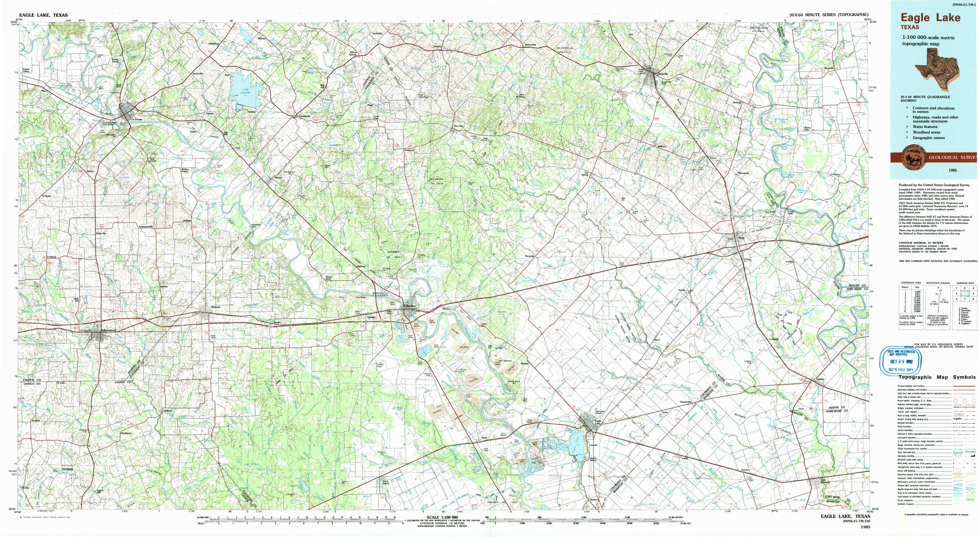
USGS Topo Map 29096e1 - 1:100,000 scale
| Topo Map Name: | Eagle Lake |
| USGS Topo Quad ID: | 29096e1 |
| Print Size: | ca. 39" wide x 24" high |
| Southeast Coordinates: | 29.5° N latitude / 96° W longitude |
| Map Center Coordinates: | 29.75° N latitude / 96.5° W longitude |
| U.S. State: | TX |
| Filename: | 29096e1.jpg |
| Download Map JPG Image: | Eagle Lake topo map 1:100,000 scale |
| Map Type: | Topographic |
| Topo Series: | 30´x60´ |
| Map Scale: | 1:100,000 |
| Source of Map Images: | United States Geological Survey (USGS) |
| Alternate Map Versions: |
Eagle Lake TX 1985, updated 1985 Download PDF Buy paper map Eagle Lake TX 1985, updated 1992 Download PDF Buy paper map |
1:100,000 Topos surrounding Eagle Lake
Austin |
Brenham |
Conroe |
Seguin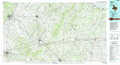 |
Eagle Lake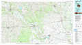 |
Houston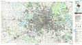 |
Cuero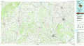 |
El Campo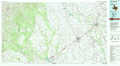 |
Angleton |
> Back to 29096a1 at 1:250,000 scale
> Back to U.S. Topo Maps home
1:24,000 Topo Quads covered by the spatial extent of this 100k map (Eagle Lake)
|
La Grange West 
|
La Grange East 
|
Fayetteville 
|
Industry 
|
New Ulm 
|
Bellville 
|
Burleigh 
|
Sunny Side 
|
|
Swiss Alp 
|
Ammannsville 
|
Ellinger 
|
Frelsburg 
|
Bernardo 
|
Cat Spring 
|
Sealy 
|
San Felipe 
|
|
Schulenburg 
|
Weimar 
|
Borden 
|
Columbus 
|
Alleyton 
|
Eagle Lake Ne 
|
Rexville 
|
Wallis 
|
|
Moravia 
|
Oakland 
|
Sawmill Branch 
|
Rock Island 
|
Altair 
|
Eagle Lake 
|
Lissie 
|
East Bernard 
|