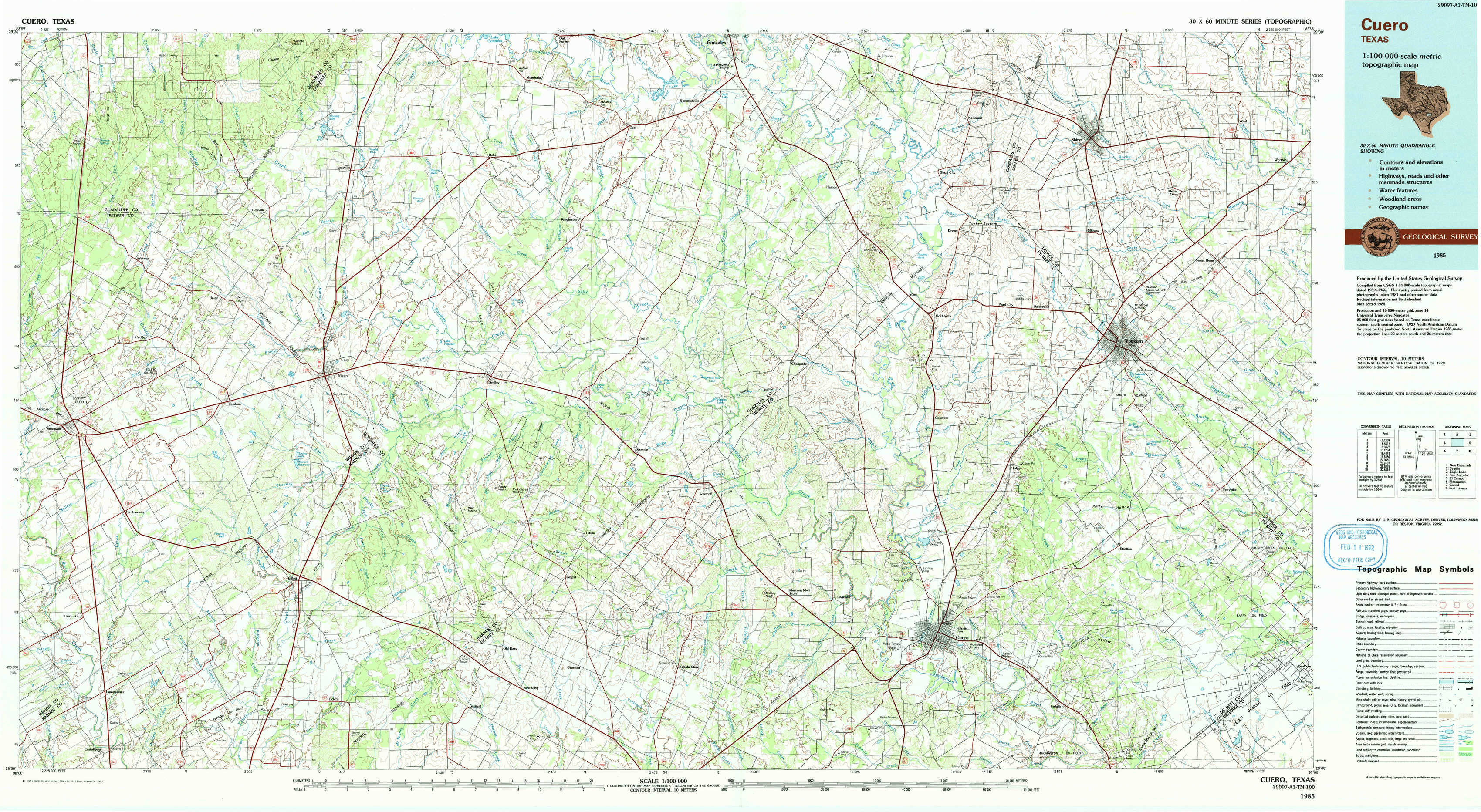
Cuero Topo Map Texas
To zoom in, hover over the map of Cuero
USGS Topo Map 29097a1 - 1:100,000 scale
| Topo Map Name: | Cuero |
| USGS Topo Quad ID: | 29097a1 |
| Print Size: | ca. 39" wide x 24" high |
| Southeast Coordinates: | 29° N latitude / 97° W longitude |
| Map Center Coordinates: | 29.25° N latitude / 97.5° W longitude |
| U.S. State: | TX |
| Filename: | 29097a1.jpg |
| Download Map JPG Image: | Cuero topo map 1:100,000 scale |
| Map Type: | Topographic |
| Topo Series: | 30´x60´ |
| Map Scale: | 1:100,000 |
| Source of Map Images: | United States Geological Survey (USGS) |
| Alternate Map Versions: |
Cuero TX 1985, updated 1985 Download PDF Buy paper map Cuero TX 1985, updated 1991 Download PDF Buy paper map |
1:100,000 Topos surrounding Cuero
New Braunfels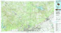 |
Seguin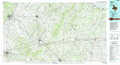 |
Eagle Lake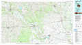 |
San Antonio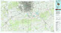 |
Cuero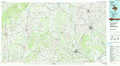 |
El Campo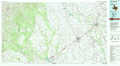 |
Pleasanton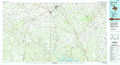 |
Goliad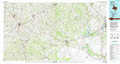 |
Port Lavaca |
> Back to 29096a1 at 1:250,000 scale
> Back to U.S. Topo Maps home
1:24,000 Topo Quads covered by the spatial extent of this 100k map (Cuero)
|
Thomas Springs 
|
Dewville 
|
Leesville 
|
Cost 
|
Gonzales South 
|
Hamon 
|
Shiner 
|
Wied 
|
|
Alum 
|
Nixon 
|
Smiley 
|
Pilgrim 
|
Cheapside 
|
Hochheim 
|
Yoakum 
|
Sweet Home 
|
|
Stockdale 
|
Gillett 
|
Bald Mound 
|
Sample 
|
Westhoff 
|
Concrete 
|
Edgar 
|
Terryville 
|
|
Kosciusko 
|
Ecleto 
|
Garfield 
|
New Davy 
|
Blackwell Lake 
|
Cuero 
|
Verhelle 
|
Fordtran 
|