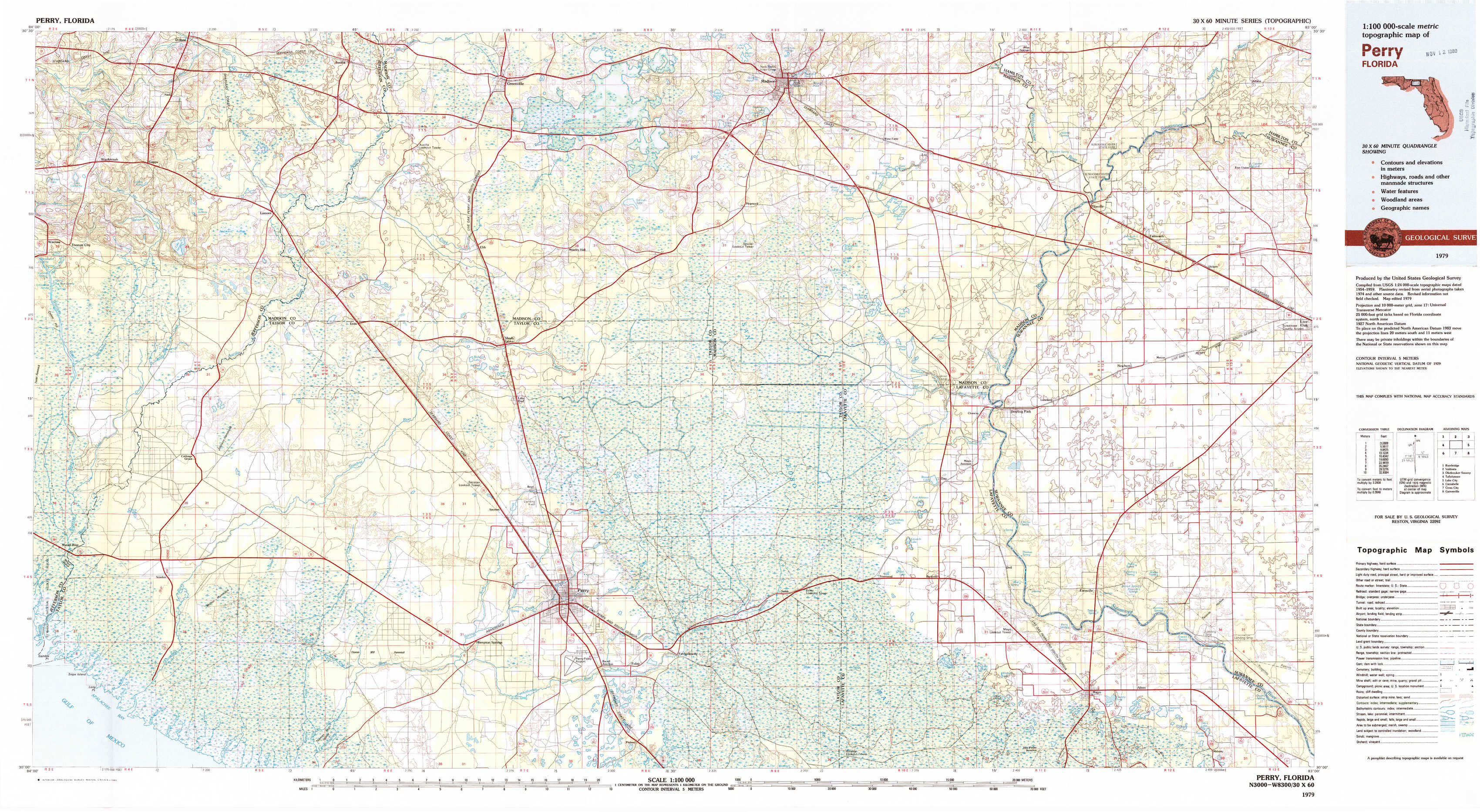
Perry Topo Map Florida
To zoom in, hover over the map of Perry
USGS Topo Map 30083a1 - 1:100,000 scale
| Topo Map Name: | Perry |
| USGS Topo Quad ID: | 30083a1 |
| Print Size: | ca. 39" wide x 24" high |
| Southeast Coordinates: | 30° N latitude / 83° W longitude |
| Map Center Coordinates: | 30.25° N latitude / 83.5° W longitude |
| U.S. State: | FL |
| Filename: | 30083a1.jpg |
| Download Map JPG Image: | Perry topo map 1:100,000 scale |
| Map Type: | Topographic |
| Topo Series: | 30´x60´ |
| Map Scale: | 1:100,000 |
| Source of Map Images: | United States Geological Survey (USGS) |
| Alternate Map Versions: |
Perry FL 1979, updated 1980 Download PDF Buy paper map Perry FL 1979, updated 1980 Download PDF Buy paper map |
1:100,000 Topos surrounding Perry
Bainbridge |
Valdosta |
Okefenokee Swamp |
Tallahassee |
Perry |
Lake City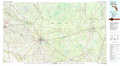 |
Carrabelle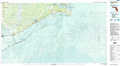 |
Cross City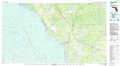 |
Gainesville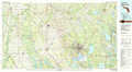 |
> Back to 30082a1 at 1:250,000 scale
> Back to U.S. Topo Maps home
1:24,000 Topo Quads covered by the spatial extent of this 100k map (Perry)
|
Waukeenah 
|
Lamont 
|
Greenville 
|
Greenville Ne 
|
Madison 
|
Lee 
|
Ellaville 
|
Fort Union 
|
|
Wacissa 
|
Lamont Se 
|
Shady Grove 
|
Greenville Se 
|
Madison Sw 
|
Madison Se 
|
Falmouth 
|
Live Oak West 
|
|
Nutall Rise 
|
Johnson Hammock 
|
Secotan 
|
Boyd 
|
Day Nw 
|
Day 
|
Dowling Park 
|
Mayo Ne 
|
|
Snipe Island 
|
Manlin Hammock 
|
Hampton Springs 
|
Perry 
|
Fenholloway 
|
Day Se 
|
Mayo 
|
Mayo Se 
|