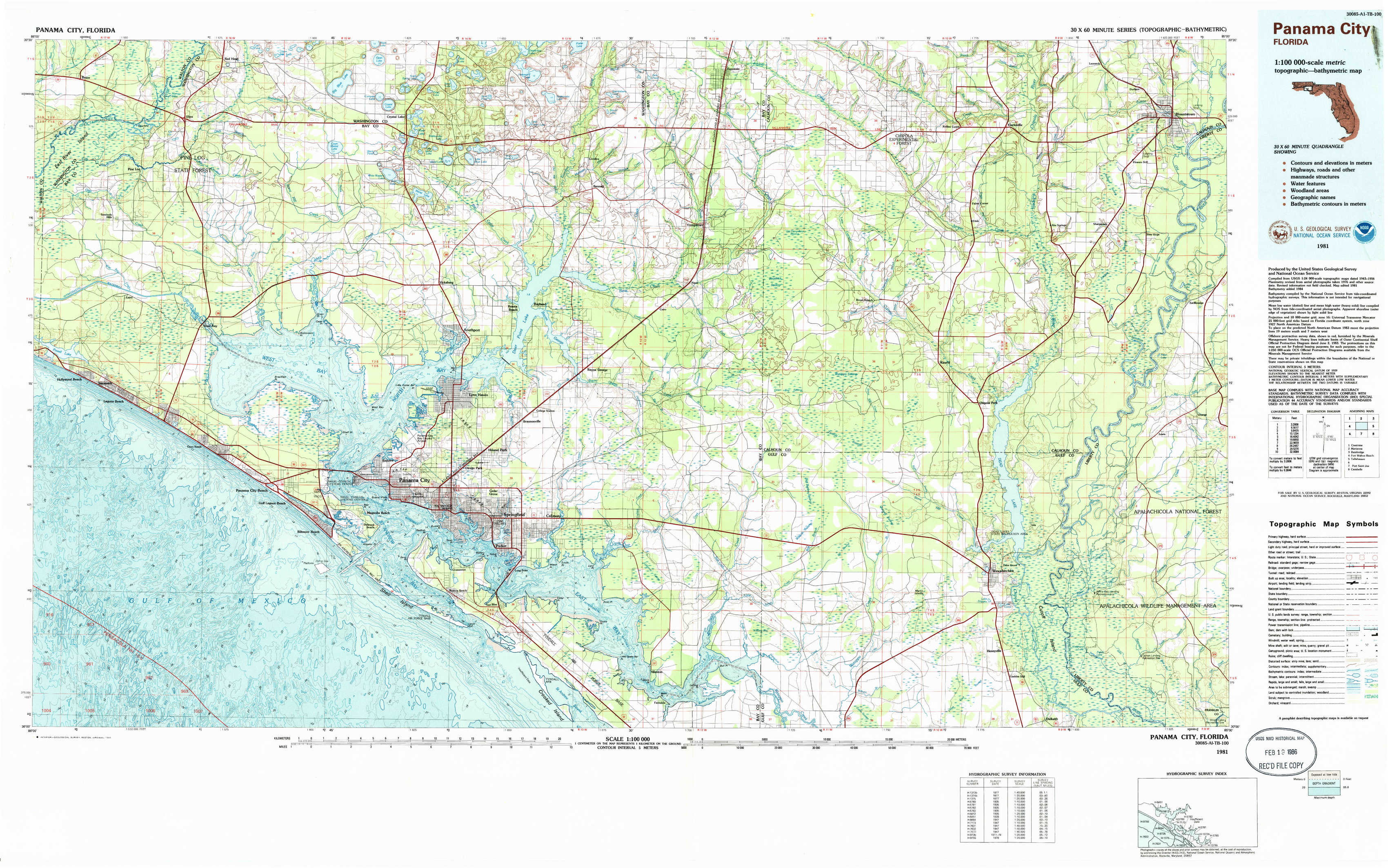
Panama City Topo Map Florida
To zoom in, hover over the map of Panama City
USGS Topo Map 30085a1 - 1:100,000 scale
| Topo Map Name: | Panama City |
| USGS Topo Quad ID: | 30085a1 |
| Print Size: | ca. 39" wide x 24" high |
| Southeast Coordinates: | 30° N latitude / 85° W longitude |
| Map Center Coordinates: | 30.25° N latitude / 85.5° W longitude |
| U.S. State: | FL |
| Filename: | 30085a1.jpg |
| Download Map JPG Image: | Panama City topo map 1:100,000 scale |
| Map Type: | Topographic |
| Topo Series: | 30´x60´ |
| Map Scale: | 1:100,000 |
| Source of Map Images: | United States Geological Survey (USGS) |
| Alternate Map Versions: |
Panama City FL 1981, updated 1981 Download PDF Buy paper map Panama City FL 1981, updated 1985 Download PDF Buy paper map |
1:100,000 Topos surrounding Panama City
Crestview |
Marianna |
Bainbridge |
Fort Walton Beach |
Panama City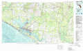 |
Tallahassee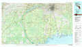 |
Port Saint Joe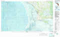 |
Carrabelle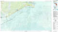 |
> Back to 30084a1 at 1:250,000 scale
> Back to U.S. Topo Maps home
1:24,000 Topo Quads covered by the spatial extent of this 100k map (Panama City)
|
Bruce 
|
Red Head 
|
Crystal Lake 
|
Bennett 
|
Fountain 
|
Juniper Creek 
|
Clarksville 
|
Blountstown 
|
|
Seminole Hills 
|
West Bay 
|
Southport 
|
Bayhead 
|
Youngstown 
|
Broad Branch 
|
Frink 
|
Estiffanulga 
|
|
Laguna Beach 
|
Panama City Beach 
|
Panama City 
|
Springfield 
|
North Of Allanton 
|
Tenmile Swamp 
|
Dead Lake 
|
Orange 
|
|
Beacon Beach 
|
Long Point 
|
Allanton 
|
Wetappo Creek 
|
Wewahitchka 
|
Kennedy Creek 
|