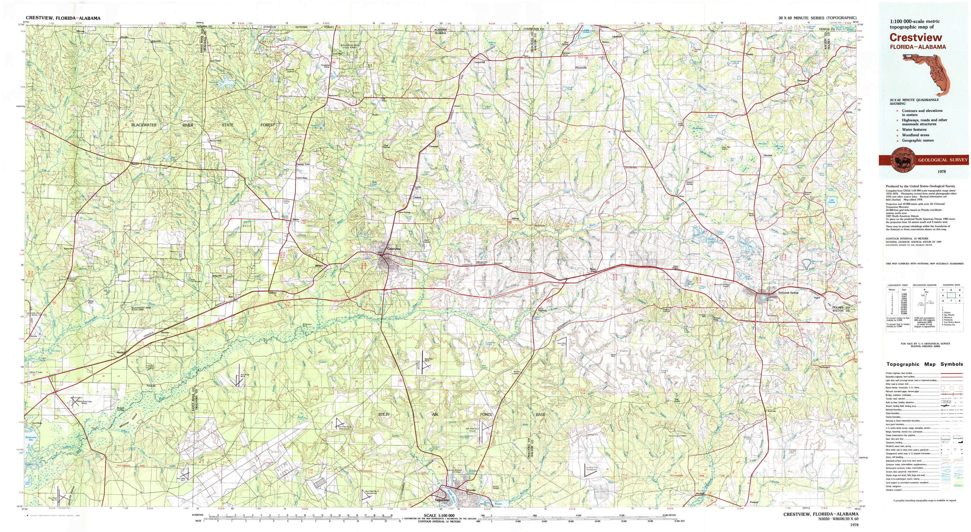
Crestview Topo Map Florida
To zoom in, hover over the map of Crestview
USGS Topo Map 30086e1 - 1:100,000 scale
| Topo Map Name: | Crestview |
| USGS Topo Quad ID: | 30086e1 |
| Print Size: | ca. 39" wide x 24" high |
| Southeast Coordinates: | 30.5° N latitude / 86° W longitude |
| Map Center Coordinates: | 30.75° N latitude / 86.5° W longitude |
| U.S. States: | FL, AL |
| Filename: | 30086e1.jpg |
| Download Map JPG Image: | Crestview topo map 1:100,000 scale |
| Map Type: | Topographic |
| Topo Series: | 30´x60´ |
| Map Scale: | 1:100,000 |
| Source of Map Images: | United States Geological Survey (USGS) |
| Alternate Map Versions: |
Crestview FL 1978, updated 1982 Download PDF Buy paper map Crestview FL 1978, updated 1982 Download PDF Buy paper map |
1:100,000 Topos surrounding Crestview
Atmore |
Andalusia |
Dothan |
Bay Minette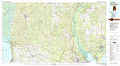 |
Crestview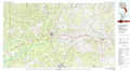 |
Marianna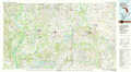 |
Pensacola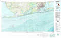 |
Fort Walton Beach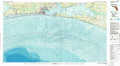 |
Panama City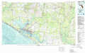 |
> Back to 30086a1 at 1:250,000 scale
> Back to U.S. Topo Maps home
1:24,000 Topo Quads covered by the spatial extent of this 100k map (Crestview)
|
Mclellan 
|
Hurricane Lake 
|
Blackman 
|
Oak Grove 
|
Laurel Hill 
|
Paxton 
|
Gaskin 
|
Darlington 
|
|
Spring Hill 
|
Munson 
|
Baker 
|
Crestview North 
|
Dorcas 
|
New Harmony 
|
Liberty 
|
Glendale 
|
|
Harold 
|
Floridale 
|
Holt 
|
Crestview South 
|
Spencer Flats 
|
Mossy Head 
|
De Funiak Springs West 
|
De Funiak Springs East 
|
|
Ward Basin 
|
Harold Se 
|
Holt Sw 
|
Valparaiso 
|
Niceville 
|
Niceville Se 
|
Portland 
|
Rock Hill 
|