Taylor Topo Map Texas
To zoom in, hover over the map of Taylor
USGS Topo Map 30097e1 - 1:100,000 scale
| Topo Map Name: | Taylor |
| USGS Topo Quad ID: | 30097e1 |
| Print Size: | ca. 39" wide x 24" high |
| Southeast Coordinates: | 30.5° N latitude / 97° W longitude |
| Map Center Coordinates: | 30.75° N latitude / 97.5° W longitude |
| U.S. State: | TX |
| Filename: | 30097e1.jpg |
| Download Map JPG Image: | Taylor topo map 1:100,000 scale |
| Map Type: | Topographic |
| Topo Series: | 30´x60´ |
| Map Scale: | 1:100,000 |
| Source of Map Images: | United States Geological Survey (USGS) |
| Alternate Map Versions: |
Taylor TX 1985, updated 1986 Download PDF Buy paper map Taylor TX 1985, updated 1992 Download PDF Buy paper map |
1:100,000 Topos surrounding Taylor
San Saba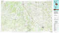 |
Temple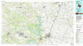 |
Marlin |
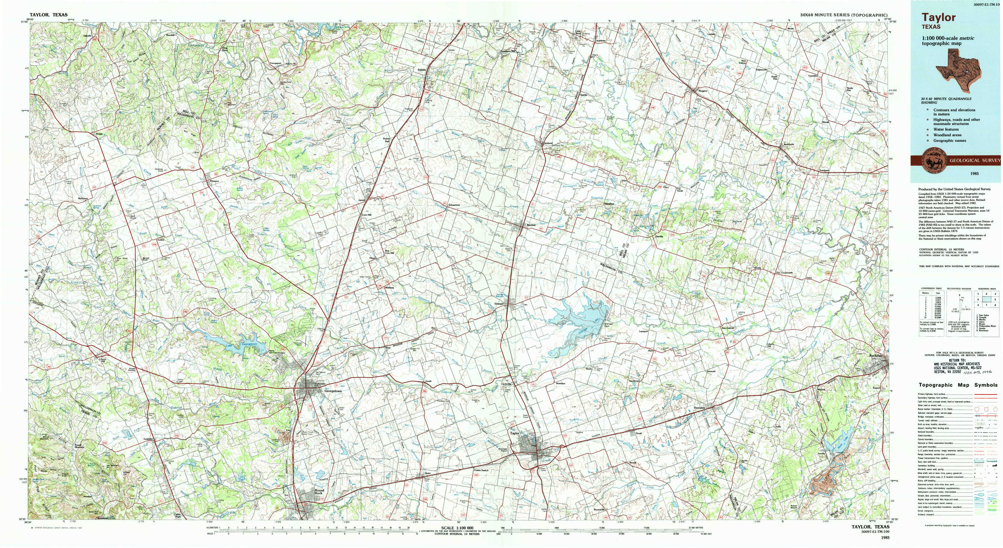
Llano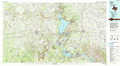 |
Taylor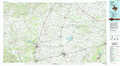 |
Bryan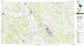 |
Pedernales River |
Austin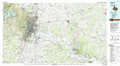 |
Brenham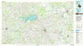 |
> Back to 30096a1 at 1:250,000 scale
> Back to U.S. Topo Maps home
1:24,000 Topo Quads covered by the spatial extent of this 100k map (Taylor)
|
Briggs 
|
Ding Dong 
|
Youngsport 
|
Salado 
|
Holland 
|
Little River 
|
Rogers 
|
Yarrelton 
|
|
Mahomet 
|
Florence 
|
Cobbs Cavern 
|
Jarrell 
|
Bartlett 
|
Davilla 
|
Sharp 
|
Pettibone 
|
|
Liberty Hill 
|
Leander Ne 
|
Georgetown 
|
Weir 
|
Granger 
|
Friendship 
|
San Gabriel 
|
Rockdale West 
|
|
Nameless 
|
Leander 
|
Round Rock 
|
Hutto 
|
Taylor 
|
Thrall 
|
Thorndale 
|
Alcoa Lake 
|