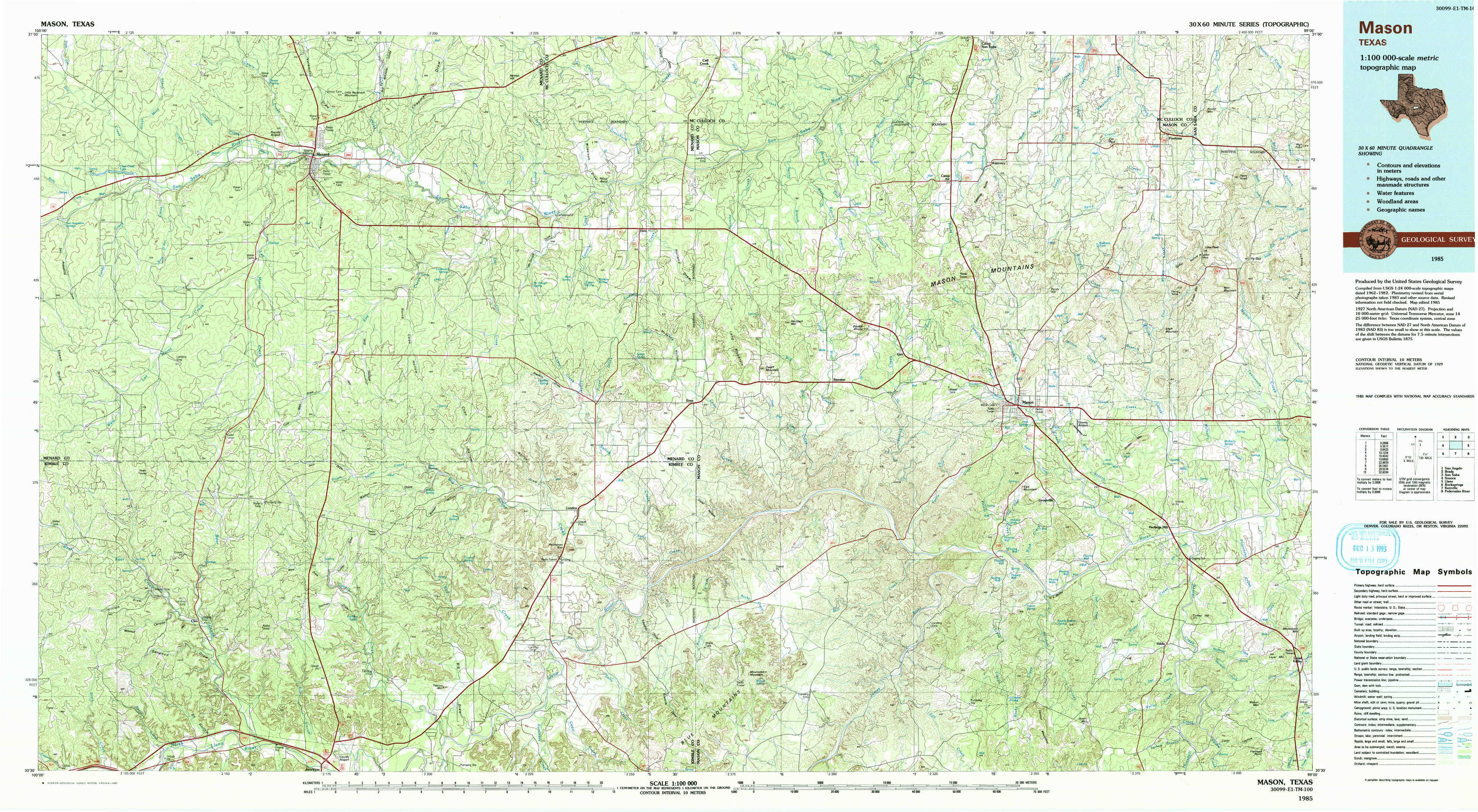
Mason Topo Map Texas
To zoom in, hover over the map of Mason
USGS Topo Map 30099e1 - 1:100,000 scale
| Topo Map Name: | Mason |
| USGS Topo Quad ID: | 30099e1 |
| Print Size: | ca. 39" wide x 24" high |
| Southeast Coordinates: | 30.5° N latitude / 99° W longitude |
| Map Center Coordinates: | 30.75° N latitude / 99.5° W longitude |
| U.S. State: | TX |
| Filename: | 30099e1.jpg |
| Download Map JPG Image: | Mason topo map 1:100,000 scale |
| Map Type: | Topographic |
| Topo Series: | 30´x60´ |
| Map Scale: | 1:100,000 |
| Source of Map Images: | United States Geological Survey (USGS) |
| Alternate Map Versions: |
Mason TX 1985, updated 1985 Download PDF Buy paper map Mason TX 1985, updated 1993 Download PDF Buy paper map |
1:100,000 Topos surrounding Mason
San Angelo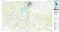 |
Brady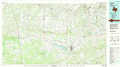 |
San Saba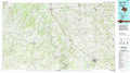 |
Sonora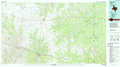 |
Mason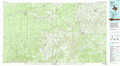 |
Llano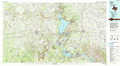 |
Rocksprings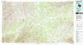 |
Kerrville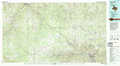 |
Pedernales River |
> Back to 30098a1 at 1:250,000 scale
> Back to U.S. Topo Maps home
1:24,000 Topo Quads covered by the spatial extent of this 100k map (Mason)
|
Clear Creek Lake 
|
Menard 
|
Chapman Draw 
|
Robbers Roost 
|
Calf Creek 
|
Katemcy 
|
Spy Rock 
|
Fredonia 
|
|
San Augustine Draw 
|
Spoon Draw 
|
East Elm Creek 
|
Hext 
|
Long Mountain 
|
Grit 
|
Purdy Hill 
|
Fly Gap 
|
|
Rust Ranch 
|
Julio Draw 
|
Brewer Hollow 
|
London 
|
Sheep Run Creek 
|
Turtle Creek 
|
Mason 
|
Art 
|
|
Stark Creek 
|
Elm Slough 
|
Big Draw 
|
Yates 
|
Monument Mountain 
|
Monument Mountain Se 
|
Panther Creek 
|
Loyal Valley 
|