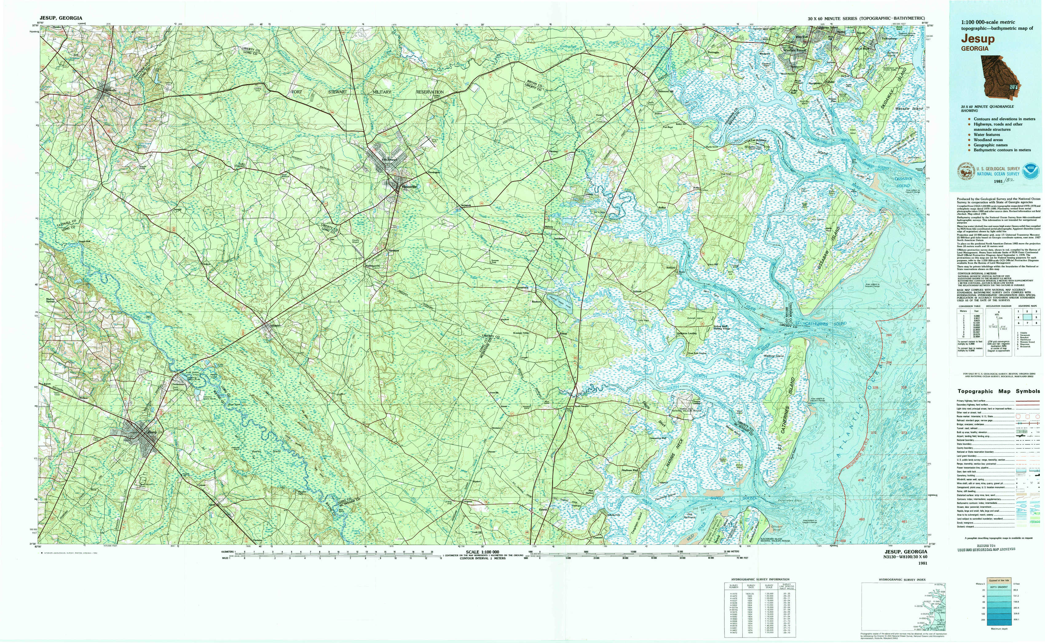
Jesup Topo Map Georgia
To zoom in, hover over the map of Jesup
USGS Topo Map 31081e1 - 1:100,000 scale
| Topo Map Name: | Jesup |
| USGS Topo Quad ID: | 31081e1 |
| Print Size: | ca. 39" wide x 24" high |
| Southeast Coordinates: | 31.5° N latitude / 81° W longitude |
| Map Center Coordinates: | 31.75° N latitude / 81.5° W longitude |
| U.S. State: | GA |
| Filename: | 31081e1.jpg |
| Download Map JPG Image: | Jesup topo map 1:100,000 scale |
| Map Type: | Topographic |
| Topo Series: | 30´x60´ |
| Map Scale: | 1:100,000 |
| Source of Map Images: | United States Geological Survey (USGS) |
| Alternate Map Versions: |
Jesup GA 1981, updated 1982 Download PDF Buy paper map |
1:100,000 Topos surrounding Jesup
Vidalia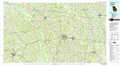 |
Savannah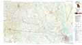 |
Beaufort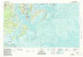 |
Hazlehurst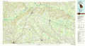 |
Jesup |
Wassaw Sound |
Waycross |
Brunswick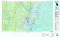 |
> Back to 31080a1 at 1:250,000 scale
> Back to U.S. Topo Maps home
1:24,000 Topo Quads covered by the spatial extent of this 100k map (Jesup)
|
Glennville 
|
Glennville Ne 
|
Taylors Creek 
|
Trinity 
|
Limerick Nw 
|
Richmond Hill 
|
Burroughs 
|
Isle Of Hope 
|
|
Glennville Sw 
|
Glennville Se 
|
Walthourville 
|
Hinesville 
|
Dorchester 
|
Limerick Se 
|
Oak Level 
|
Raccoon Key 
|
|
Jesup Nw 
|
Doctortown 
|
Ludowici 
|
East Of Ludowici 
|
Riceboro 
|
Seabrook 
|
Saint Catherines Sound 
|
|
|
Jesup West 
|
Jesup East 
|
Bug Island 
|
Townsend 
|
Eulonia 
|
Shellman Bluff 
|
Sapelo Sound 
|