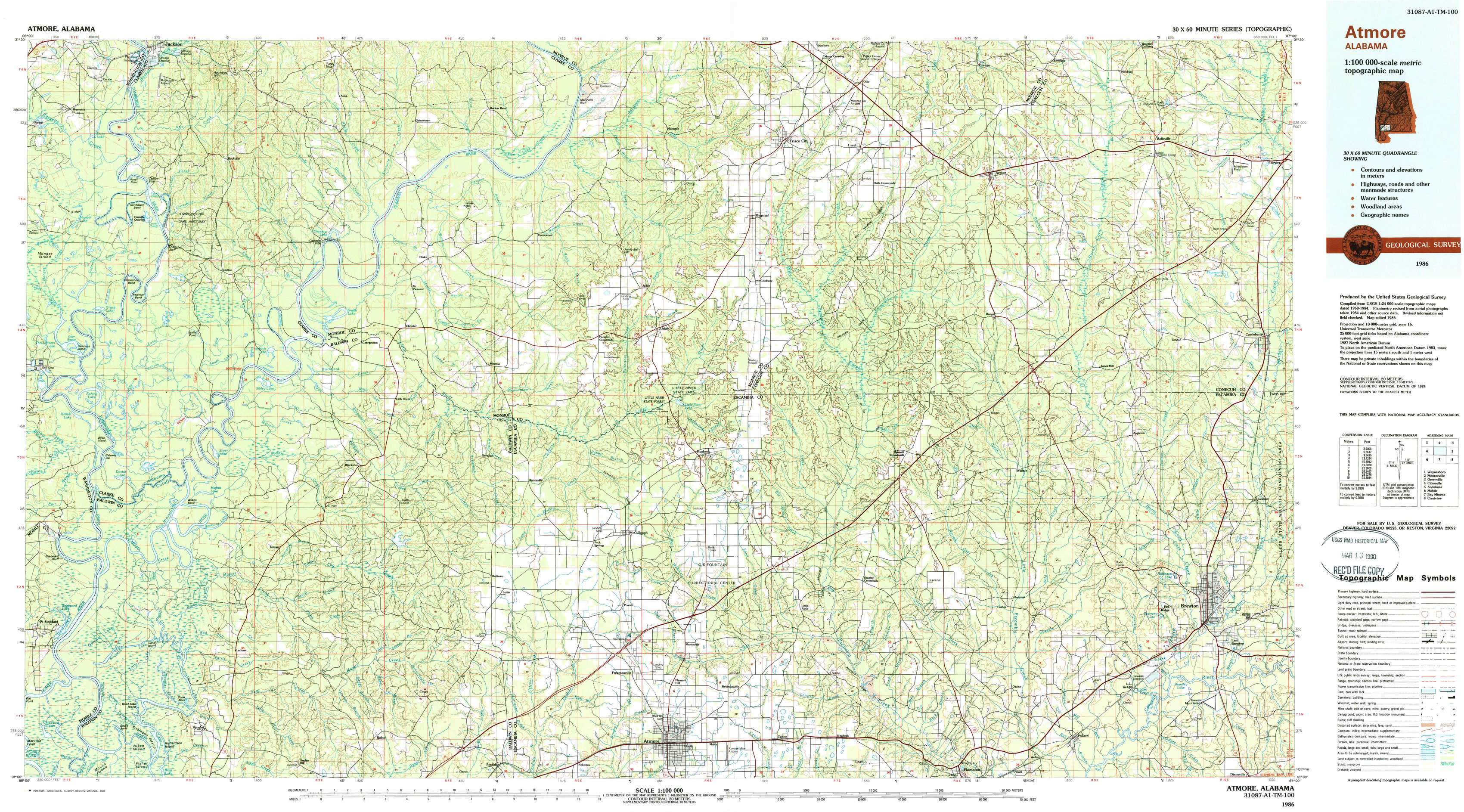
Atmore Topo Map Alabama
To zoom in, hover over the map of Atmore
USGS Topo Map 31087a1 - 1:100,000 scale
| Topo Map Name: | Atmore |
| USGS Topo Quad ID: | 31087a1 |
| Print Size: | ca. 39" wide x 24" high |
| Southeast Coordinates: | 31° N latitude / 87° W longitude |
| Map Center Coordinates: | 31.25° N latitude / 87.5° W longitude |
| U.S. State: | AL |
| Filename: | 31087a1.jpg |
| Download Map JPG Image: | Atmore topo map 1:100,000 scale |
| Map Type: | Topographic |
| Topo Series: | 30´x60´ |
| Map Scale: | 1:100,000 |
| Source of Map Images: | United States Geological Survey (USGS) |
| Alternate Map Versions: |
Atmore AL 1986, updated 1986 Download PDF Buy paper map Atmore AL 1986, updated 1989 Download PDF Buy paper map |
1:100,000 Topos surrounding Atmore
Waynesboro |
Monroeville |
Greenville |
Citronelle |
Atmore |
Andalusia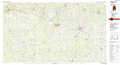 |
Mobile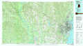 |
Bay Minette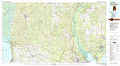 |
Crestview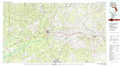 |
> Back to 31086a1 at 1:250,000 scale
> Back to U.S. Topo Maps home
1:24,000 Topo Quads covered by the spatial extent of this 100k map (Atmore)
|
Prestwick 
|
Choctaw Bluff 
|
Gainestown 
|
Flynns Lake 
|
Frisco City 
|
Excel 
|
Repton 
|
Belleville 
|
|
Gin House Island 
|
Carlton 
|
Chrysler 
|
Uriah West 
|
Uriah East 
|
Frisco City Se 
|
Range 
|
Castleberry 
|
|
Bilbo Island 
|
Tensaw 
|
Blacksher 
|
Mccullough 
|
Huxford 
|
Barnett Crossroads 
|
Wallace 
|
Brewton North 
|
|
Stiggins Lake 
|
Vaughn 
|
Perdido 
|
Freemanville 
|
Atmore 
|
Flomaton 
|
Pollard 
|
Brewton South 
|