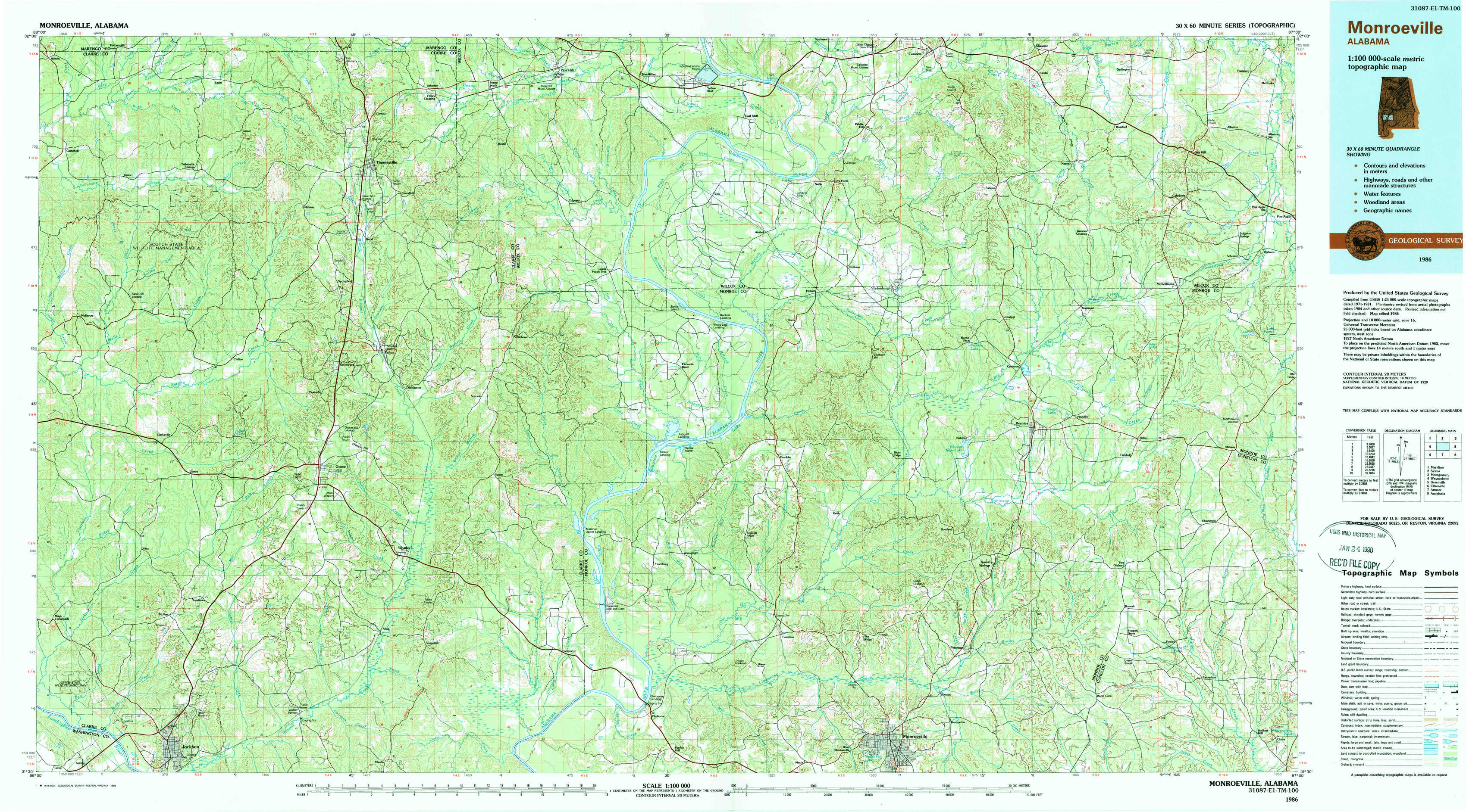
Monroeville Topo Map Alabama
To zoom in, hover over the map of Monroeville
USGS Topo Map 31087e1 - 1:100,000 scale
| Topo Map Name: | Monroeville |
| USGS Topo Quad ID: | 31087e1 |
| Print Size: | ca. 39" wide x 24" high |
| Southeast Coordinates: | 31.5° N latitude / 87° W longitude |
| Map Center Coordinates: | 31.75° N latitude / 87.5° W longitude |
| U.S. State: | AL |
| Filename: | 31087e1.jpg |
| Download Map JPG Image: | Monroeville topo map 1:100,000 scale |
| Map Type: | Topographic |
| Topo Series: | 30´x60´ |
| Map Scale: | 1:100,000 |
| Source of Map Images: | United States Geological Survey (USGS) |
| Alternate Map Versions: |
Monroeville AL 1986, updated 1986 Download PDF Buy paper map Monroeville AL 1986, updated 1989 Download PDF Buy paper map |
1:100,000 Topos surrounding Monroeville
Meridian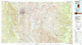 |
Selma |
Montgomery |
Waynesboro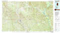 |
Monroeville |
Greenville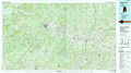 |
Citronelle |
Atmore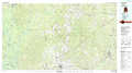 |
Andalusia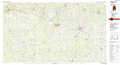 |
> Back to 31086a1 at 1:250,000 scale
> Back to U.S. Topo Maps home
1:24,000 Topo Quads covered by the spatial extent of this 100k map (Monroeville)
|
Morvin 
|
Bashi 
|
Thomasville 
|
Pine Hill 
|
Coy 
|
Camden South 
|
Rosebud 
|
Oak Hill 
|
|
Mcentyre 
|
Fulton West 
|
Fulton East 
|
Lower Peach Tree 
|
Hybart 
|
Vredenburgh 
|
Nadawah 
|
Mcwilliams 
|
|
Winn 
|
Grove Hill 
|
Whatley 
|
Chance 
|
Franklin 
|
Natchez 
|
Beatrice 
|
Skinnerton 
|
|
Jackson 
|
Walker Springs 
|
Suggsville 
|
Claiborne 
|
Mexia 
|
Monroeville 
|
Burnt Corn 
|
China 
|