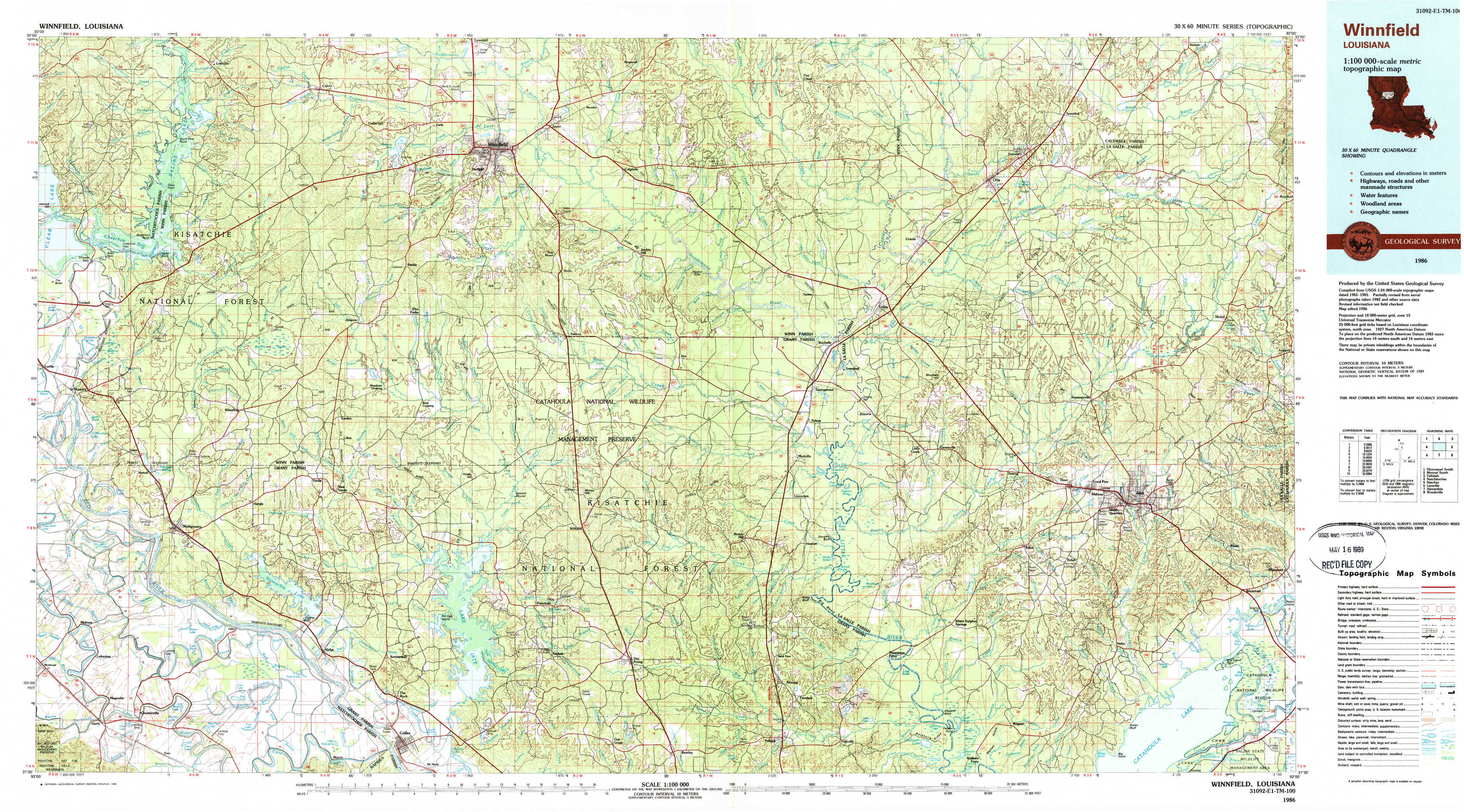
Winnfield Topo Map Louisiana
To zoom in, hover over the map of Winnfield
USGS Topo Map 31092e1 - 1:100,000 scale
| Topo Map Name: | Winnfield |
| USGS Topo Quad ID: | 31092e1 |
| Print Size: | ca. 39" wide x 24" high |
| Southeast Coordinates: | 31.5° N latitude / 92° W longitude |
| Map Center Coordinates: | 31.75° N latitude / 92.5° W longitude |
| U.S. State: | LA |
| Filename: | 31092e1.jpg |
| Download Map JPG Image: | Winnfield topo map 1:100,000 scale |
| Map Type: | Topographic |
| Topo Series: | 30´x60´ |
| Map Scale: | 1:100,000 |
| Source of Map Images: | United States Geological Survey (USGS) |
| Alternate Map Versions: |
Winnfield LA 1986, updated 1986 Download PDF Buy paper map Winnfield LA 1986, updated 1988 Download PDF Buy paper map |
1:100,000 Topos surrounding Winnfield
Shreveport South |
Monroe South |
Tallulah |
Natchitoches |
Winnfield |
Natchez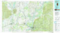 |
Leesville |
Alexandria |
Woodville |
> Back to 31092a1 at 1:250,000 scale
> Back to U.S. Topo Maps home
1:24,000 Topo Quads covered by the spatial extent of this 100k map (Winnfield)
|
Coup Point 
|
Calvin 
|
Winnfield West 
|
Winnfield East 
|
Flat Creek 
|
Fords Creek 
|
Olla East 
|
Holum 
|
|
Saint Maurice 
|
Coochie Brake 
|
Atlanta 
|
Packton 
|
Georgetown 
|
Tullas 
|
Summerville 
|
Nickel 
|
|
Montgomery 
|
Verda 
|
Savage Creek 
|
Williana 
|
Mudville 
|
Little Creek 
|
Jena West 
|
Jena East 
|
|
Cloutierville 
|
Aloha 
|
Colfax 
|
Dry Prong 
|
Pollock 
|
Fishville 
|
Nebo 
|
Bird Island Point 
|