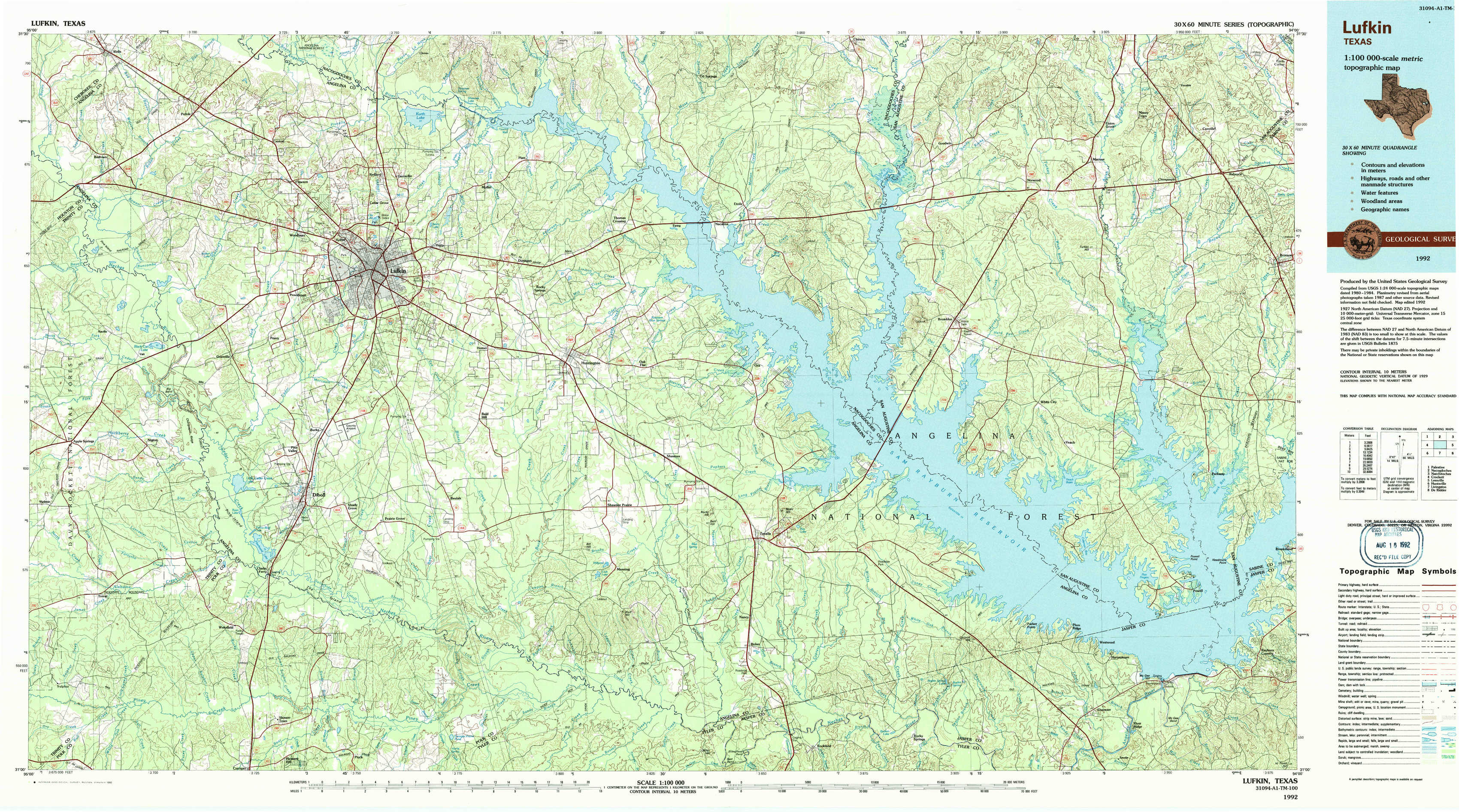
Lufkin Topo Map Texas
To zoom in, hover over the map of Lufkin
USGS Topo Map 31094a1 - 1:100,000 scale
| Topo Map Name: | Lufkin |
| USGS Topo Quad ID: | 31094a1 |
| Print Size: | ca. 39" wide x 24" high |
| Southeast Coordinates: | 31° N latitude / 94° W longitude |
| Map Center Coordinates: | 31.25° N latitude / 94.5° W longitude |
| U.S. State: | TX |
| Filename: | 31094a1.jpg |
| Download Map JPG Image: | Lufkin topo map 1:100,000 scale |
| Map Type: | Topographic |
| Topo Series: | 30´x60´ |
| Map Scale: | 1:100,000 |
| Source of Map Images: | United States Geological Survey (USGS) |
| Alternate Map Versions: |
Lufkin TX 1986, updated 1986 Download PDF Buy paper map Lufkin TX 1992, updated 1992 Download PDF Buy paper map |
1:100,000 Topos surrounding Lufkin
Palestine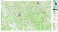 |
Nacogdoches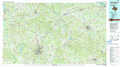 |
Natchitoches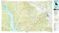 |
Crockett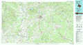 |
Lufkin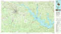 |
Leesville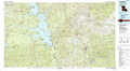 |
Huntsville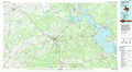 |
Livingston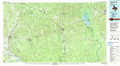 |
De Ridder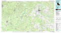 |
> Back to 31094a1 at 1:250,000 scale
> Back to U.S. Topo Maps home
1:24,000 Topo Quads covered by the spatial extent of this 100k map (Lufkin)
|
Wells 
|
Clawson 
|
Redland 
|
Platt 
|
Etoile North 
|
Chireno South 
|
Norwood 
|
Chinquapin 
|
|
Wells Sw 
|
Keltys 
|
Lufkin 
|
Huntington 
|
Etoile South 
|
Broaddus 
|
Harvey Creek 
|
Bronson 
|
|
Apple Springs 
|
Diboll 
|
Bald Hill 
|
Manning 
|
Zavalla 
|
Cassells-Boykin Park 
|
Veach 
|
Buck Bay 
|
|
Trevat 
|
Wakefield 
|
Pluck 
|
Wolf Hill 
|
Rockland 
|
Boykin Spring 
|
Ebenezer 
|
Mcgee Bend 
|