Dublin Topo Map Georgia
To zoom in, hover over the map of Dublin
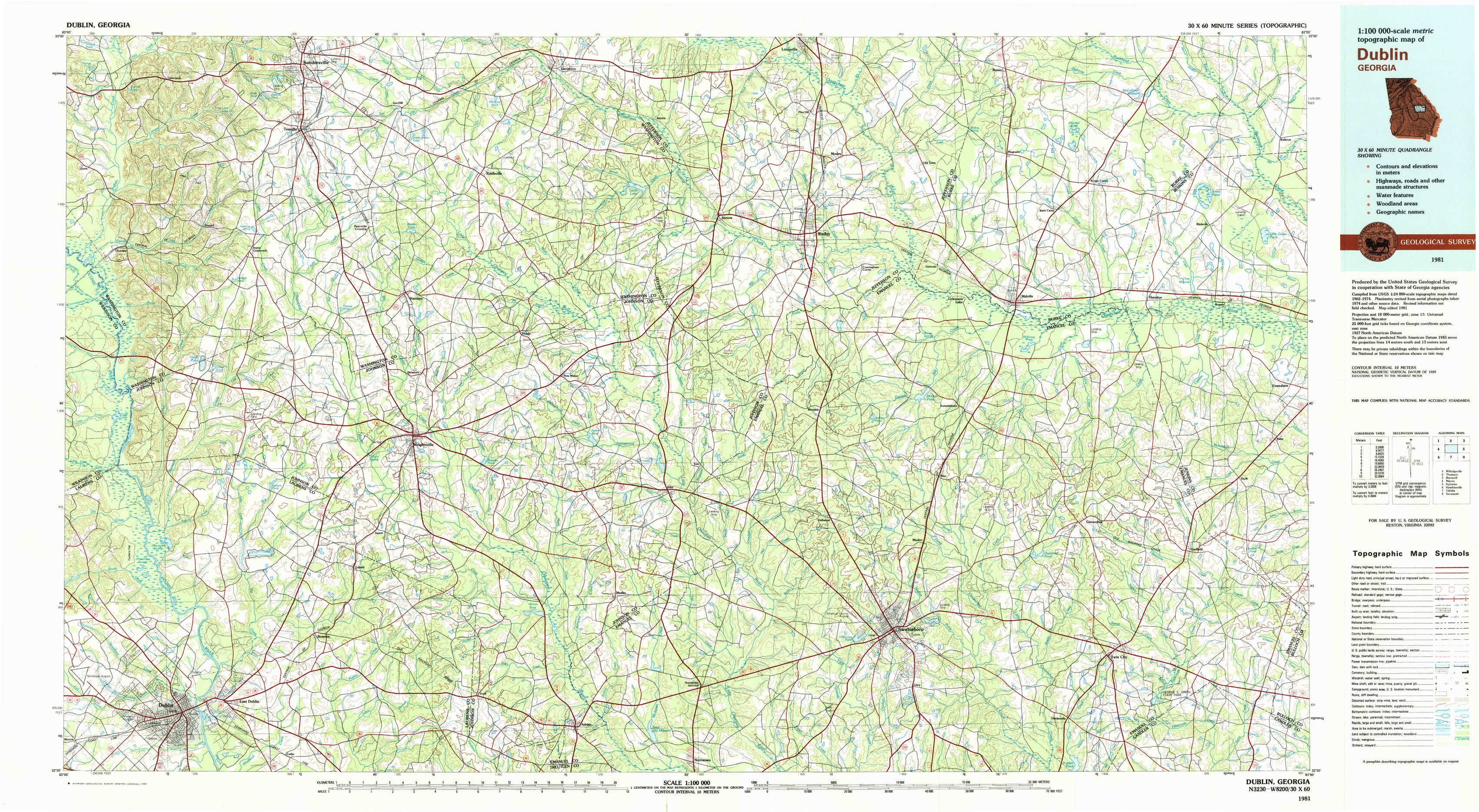
USGS Topo Map 32082e1 - 1:100,000 scale
| Topo Map Name: | Dublin |
| USGS Topo Quad ID: | 32082e1 |
| Print Size: | ca. 39" wide x 24" high |
| Southeast Coordinates: | 32.5° N latitude / 82° W longitude |
| Map Center Coordinates: | 32.75° N latitude / 82.5° W longitude |
| U.S. State: | GA |
| Filename: | 32082e1.jpg |
| Download Map JPG Image: | Dublin topo map 1:100,000 scale |
| Map Type: | Topographic |
| Topo Series: | 30´x60´ |
| Map Scale: | 1:100,000 |
| Source of Map Images: | United States Geological Survey (USGS) |
| Alternate Map Versions: |
Dublin GA 1981, updated 1981 Download PDF Buy paper map |
1:100,000 Topos surrounding Dublin
Milledgeville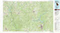 |
Thomson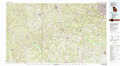 |
Barnwell |
Macon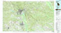 |
Dublin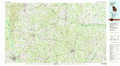 |
Sylvania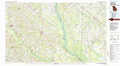 |
Hawkinsville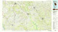 |
Vidalia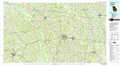 |
Savannah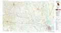 |
> Back to 32082a1 at 1:250,000 scale
> Back to U.S. Topo Maps home
1:24,000 Topo Quads covered by the spatial extent of this 100k map (Dublin)
|
Tabernacle 
|
Sandersville 
|
Riddleville 
|
Davisboro 
|
Louisville South 
|
Old Town 
|
Scotts Corner 
|
Bellevue 
|
|
Oconee 
|
Irwins Crossroads 
|
Harrison 
|
Davisboro Se 
|
Wadley 
|
Colemans Lake 
|
Midville 
|
Birdsville 
|
|
Cow Hell Swamp 
|
Lovett 
|
Wrightsville 
|
Kite 
|
Dellwood 
|
Summertown 
|
Canoochee 
|
Garfield 
|
|
Dublin 
|
East Dublin 
|
Scott 
|
Adrian 
|
Norristown 
|
Swainsboro 
|
Twin City 
|
Twin City Se 
|