Carthage Topo Map Mississippi
To zoom in, hover over the map of Carthage
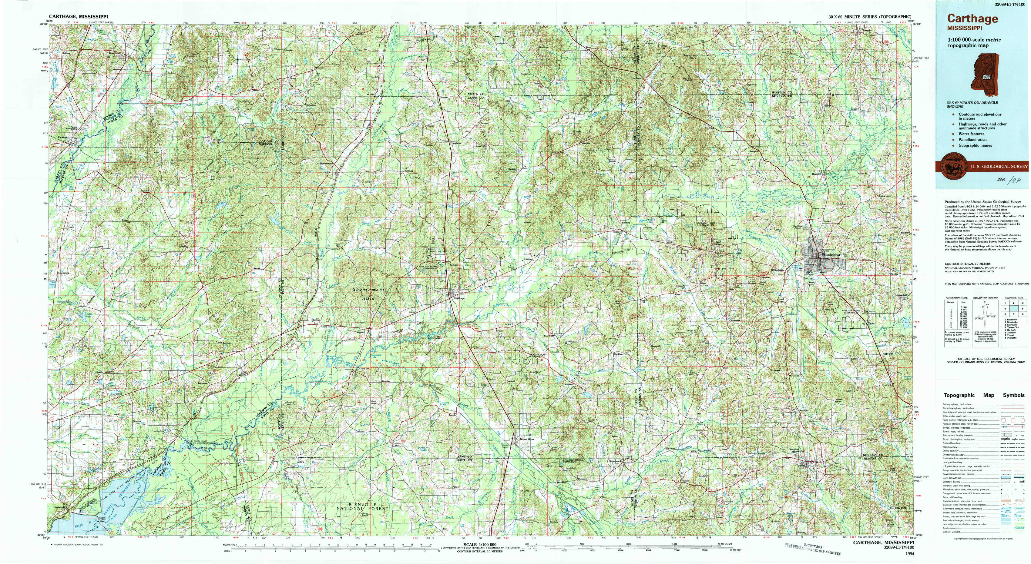
USGS Topo Map 32089e1 - 1:100,000 scale
| Topo Map Name: | Carthage |
| USGS Topo Quad ID: | 32089e1 |
| Print Size: | ca. 39" wide x 24" high |
| Southeast Coordinates: | 32.5° N latitude / 89° W longitude |
| Map Center Coordinates: | 32.75° N latitude / 89.5° W longitude |
| U.S. State: | MS |
| Filename: | 32089e1.jpg |
| Download Map JPG Image: | Carthage topo map 1:100,000 scale |
| Map Type: | Topographic |
| Topo Series: | 30´x60´ |
| Map Scale: | 1:100,000 |
| Source of Map Images: | United States Geological Survey (USGS) |
| Alternate Map Versions: |
Carthage MS 1984, updated 1984 Download PDF Buy paper map Carthage MS 1994, updated 1994 Download PDF Buy paper map |
1:100,000 Topos surrounding Carthage
Indianola |
Kosciusko |
Starkville |
Yazoo City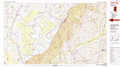 |
Carthage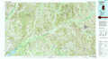 |
De Kalb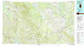 |
Jackson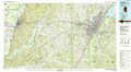 |
Forest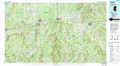 |
Meridian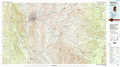 |
> Back to 32088a1 at 1:250,000 scale
> Back to U.S. Topo Maps home
1:24,000 Topo Quads covered by the spatial extent of this 100k map (Carthage)
|
Goodman 
|
Newport 
|
Joseph 
|
Singleton 
|
Zama 
|
Four Corners 
|
Plattsburg 
|
Noxapater 
|
|
Cameron 
|
Camden 
|
Thomastown 
|
Conway 
|
Renfroe 
|
Edinburg 
|
Pearl River 
|
Philadelphia 
|
|
Sharon 
|
Farmhaven 
|
Ofahoma 
|
Carthage 
|
Mcafee 
|
Madden 
|
Mcdonald 
|
Deemer 
|
|
Shoccoe 
|
Sharon Se 
|
Ludlow 
|
Lena 
|
Walnut Grove 
|
Sebastopol 
|
Union West 
|
Union East 
|