Shreveport North Topo Map Louisiana
To zoom in, hover over the map of Shreveport North
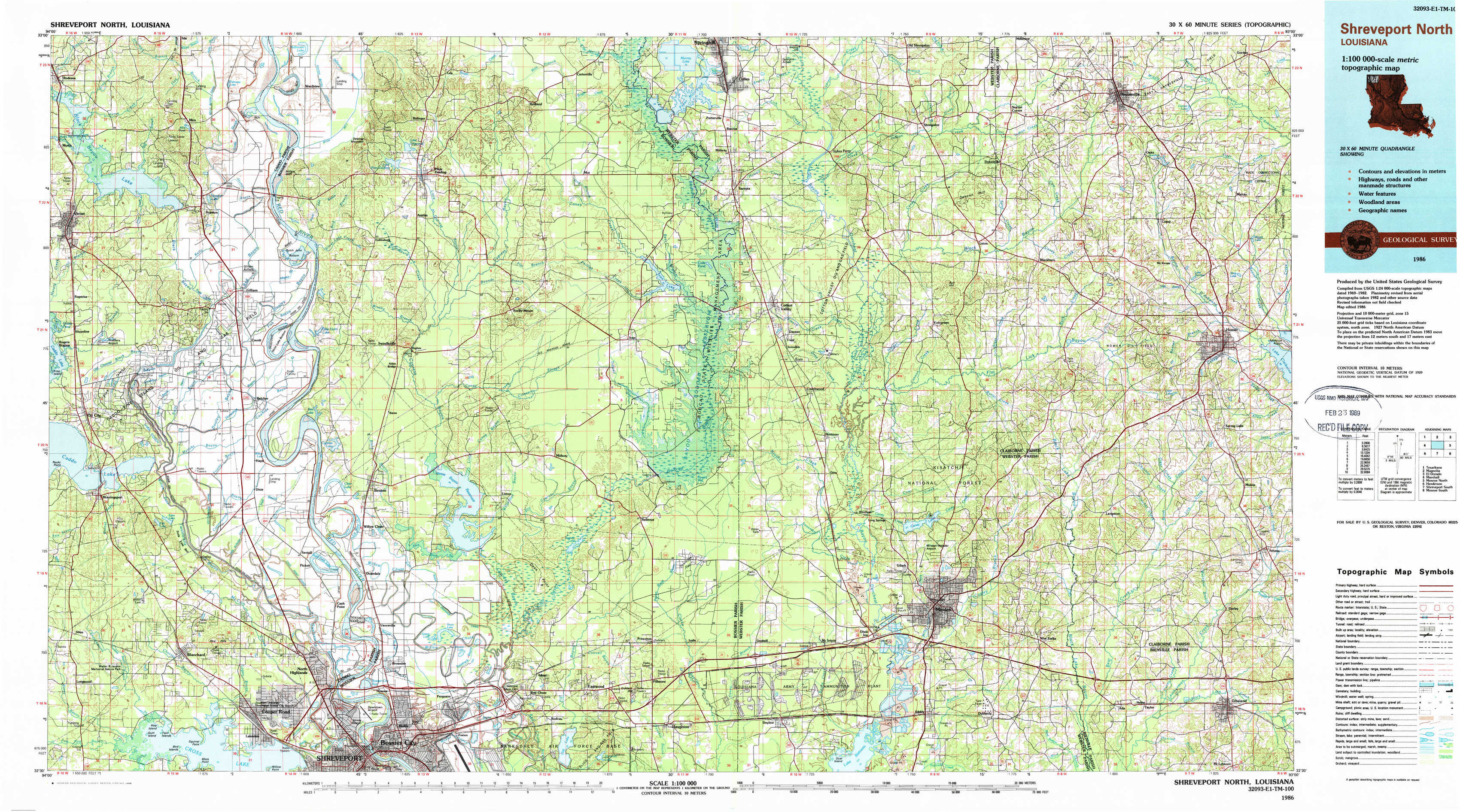
USGS Topo Map 32093e1 - 1:100,000 scale
| Topo Map Name: | Shreveport North |
| USGS Topo Quad ID: | 32093e1 |
| Print Size: | ca. 39" wide x 24" high |
| Southeast Coordinates: | 32.5° N latitude / 93° W longitude |
| Map Center Coordinates: | 32.75° N latitude / 93.5° W longitude |
| U.S. State: | LA |
| Filename: | 32093e1.jpg |
| Download Map JPG Image: | Shreveport North topo map 1:100,000 scale |
| Map Type: | Topographic |
| Topo Series: | 30´x60´ |
| Map Scale: | 1:100,000 |
| Source of Map Images: | United States Geological Survey (USGS) |
| Alternate Map Versions: |
Shreveport North LA 1986, updated 1986 Download PDF Buy paper map Shreveport North LA 1986, updated 1988 Download PDF Buy paper map |
1:100,000 Topos surrounding Shreveport North
Texarkana |
Magnolia |
El Dorado |
Marshall |
Shreveport North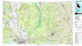 |
Monroe North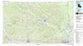 |
Henderson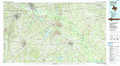 |
Shreveport South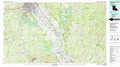 |
Monroe South |
> Back to 32092a1 at 1:250,000 scale
> Back to U.S. Topo Maps home
1:24,000 Topo Quads covered by the spatial extent of this 100k map (Shreveport North)
|
Vivian North 
|
Wardview 
|
Plain Dealing 
|
Carterville 
|
Cullen 
|
Shongaloo 
|
Haynesville West 
|
Haynesville East 
|
|
Vivian South 
|
Gilliam 
|
Hughes 
|
Ivan 
|
Cotton Valley 
|
Leton 
|
Blackburn 
|
Homer 
|
|
Mooringsport 
|
Dixie 
|
Benton 
|
Bodcau Lake 
|
Hortman 
|
Minden North 
|
Langston 
|
Athens 
|
|
Blanchard 
|
North Highlands 
|
Bossier City 
|
Eastwood 
|
Doyline 
|
Minden South 
|
Ada 
|
Gibsland 
|