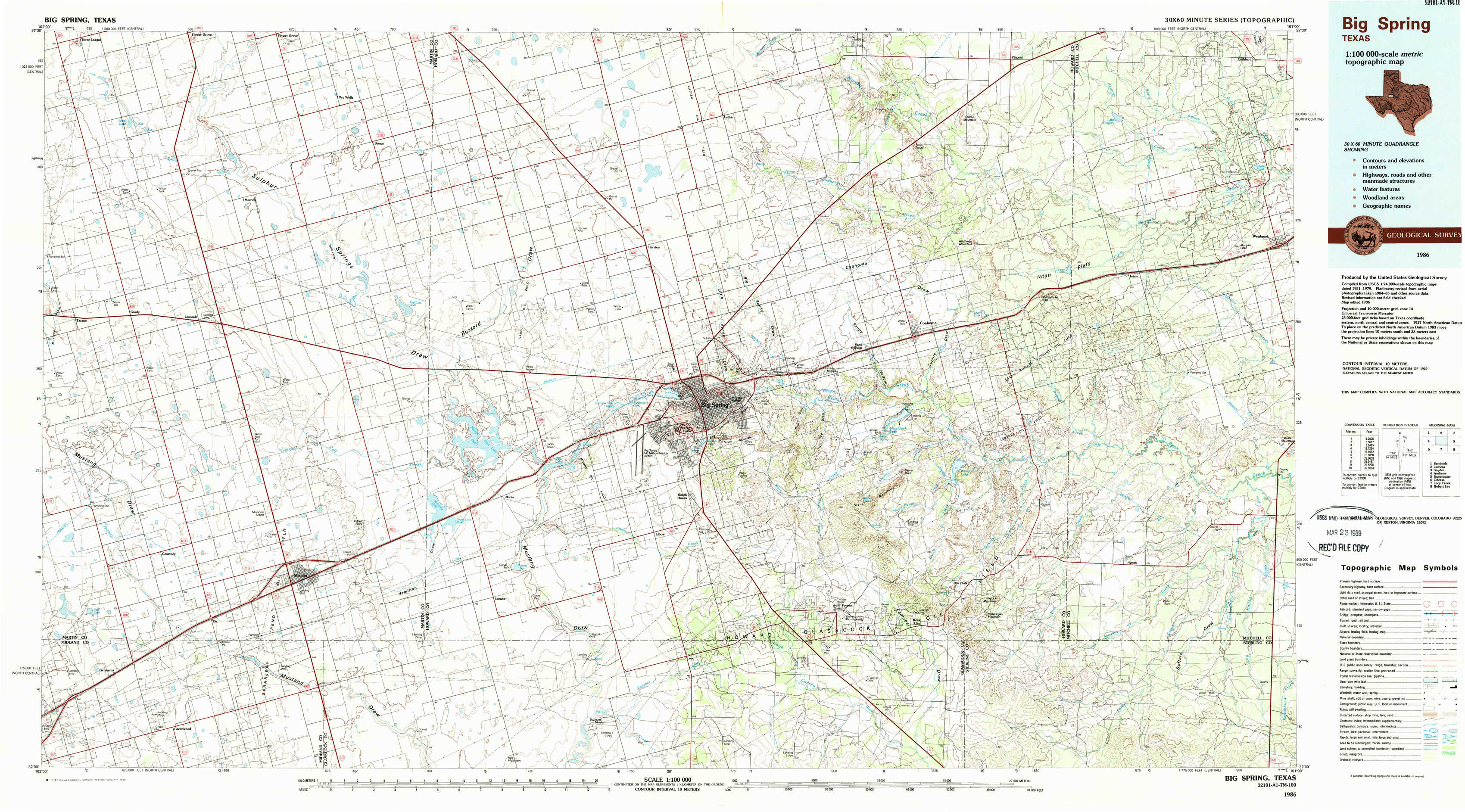
Big Spring Topo Map Texas
To zoom in, hover over the map of Big Spring
USGS Topo Map 32101a1 - 1:100,000 scale
| Topo Map Name: | Big Spring |
| USGS Topo Quad ID: | 32101a1 |
| Print Size: | ca. 39" wide x 24" high |
| Southeast Coordinates: | 32° N latitude / 101° W longitude |
| Map Center Coordinates: | 32.25° N latitude / 101.5° W longitude |
| U.S. State: | TX |
| Filename: | 32101a1.jpg |
| Download Map JPG Image: | Big Spring topo map 1:100,000 scale |
| Map Type: | Topographic |
| Topo Series: | 30´x60´ |
| Map Scale: | 1:100,000 |
| Source of Map Images: | United States Geological Survey (USGS) |
| Alternate Map Versions: |
Big Spring TX 1986, updated 1986 Download PDF Buy paper map Big Spring TX 1986, updated 1989 Download PDF Buy paper map |
1:100,000 Topos surrounding Big Spring
Seminole |
Lamesa |
Snyder |
Andrews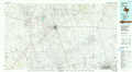 |
Big Spring |
Sweetwater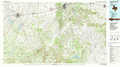 |
Odessa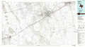 |
Lacy Creek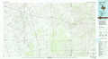 |
Robert Lee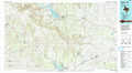 |
> Back to 32100a1 at 1:250,000 scale
> Back to U.S. Topo Maps home
1:24,000 Topo Quads covered by the spatial extent of this 100k map (Big Spring)
|
Flower Grove 
|
Merrick 
|
Knott 
|
Knott Ne 
|
Luther 
|
Big Spring North Ne 
|
Vincent 
|
Cuthbert 
|
|
Lenorah West 
|
Lenorah East 
|
Knott Sw 
|
Knott Se 
|
Big Spring North 
|
Coahoma 
|
Iatan 
|
Westbrook 
|
|
Dickenson Ranch 
|
Stanton 
|
Natural Dam Lake 
|
Elbow 
|
Big Spring South 
|
Moss Creek Lake 
|
Hyman 
|
Hyman Ne 
|
|
Germania 
|
Stanton Se 
|
Houston Ranch 
|
Lucian Wells Ranch 
|
Lees 
|
Forsan 
|
Hayrick Mountain 
|
Buffalo Draw 
|