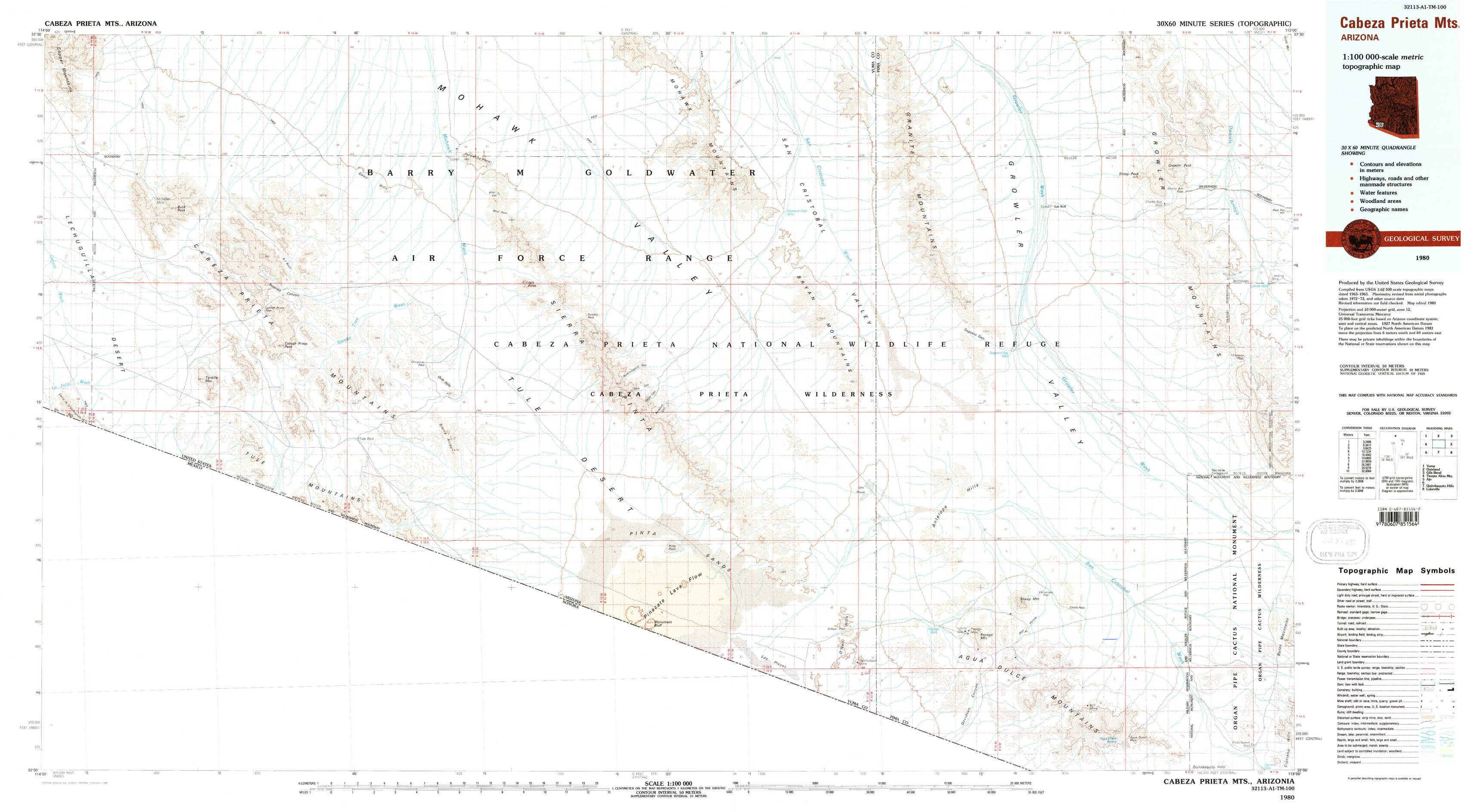
Cabeza Prieta Mountains Topo Map Arizona
To zoom in, hover over the map of Cabeza Prieta Mountains
USGS Topo Map 32113a1 - 1:100,000 scale
| Topo Map Name: | Cabeza Prieta Mountains |
| USGS Topo Quad ID: | 32113a1 |
| Print Size: | ca. 39" wide x 24" high |
| Southeast Coordinates: | 32° N latitude / 113° W longitude |
| Map Center Coordinates: | 32.25° N latitude / 113.5° W longitude |
| U.S. State: | AZ |
| Filename: | 32113a1.jpg |
| Download Map JPG Image: | Cabeza Prieta Mountains topo map 1:100,000 scale |
| Map Type: | Topographic |
| Topo Series: | 30´x60´ |
| Map Scale: | 1:100,000 |
| Source of Map Images: | United States Geological Survey (USGS) |
| Alternate Map Versions: |
Cabeza Prieta Mts AZ 1980, updated 1996 Download PDF Buy paper map Cabeza Prieta Mts AZ 1980, updated 1996 Download PDF Buy paper map |
1:100,000 Topos surrounding Cabeza Prieta Mountains
Yuma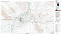 |
Dateland |
Gila Bend |
Tinajas Altas Mountains |
Cabeza Prieta Mountains |
Ajo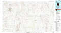 |
Quitobaquito Hills |
Lukeville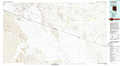 |
> Back to 32112a1 at 1:250,000 scale
> Back to U.S. Topo Maps home
1:24,000 Topo Quads covered by the spatial extent of this 100k map (Cabeza Prieta Mountains)
|
Buck Peak 
|
East Of Buck Peak 
|
Point Of The Pintas 
|
North Of Isla Pinta 
|
Monreal Well 
|
Granite Mountains North 
|
West Of Growler Peak 
|
Growler Peak 
|
|
Coyote Water 
|
Cabeza Prieta Peak 
|
Christmas Pass 
|
Isla Pinta 
|
Bryan Mountains 
|
Granite Mountains South 
|
Saguaro Gap Well 
|
Temporal Pass 
|
|
Sierra De La Lechuguilla 
|
Tule Mountains 
|
Sierra Arida 
|
Paradise Canyon 
|
Pinta Playa 
|
Antelope Hills 
|
North Of Agua Dulce Mountains 
|
Palo Verde Camp 
|
|
Monument Bluff 
|
Las Playas 
|
O'Neill Hills 
|
Agua Dulce Mountains 
|
Pozo Nuevo Well 
|