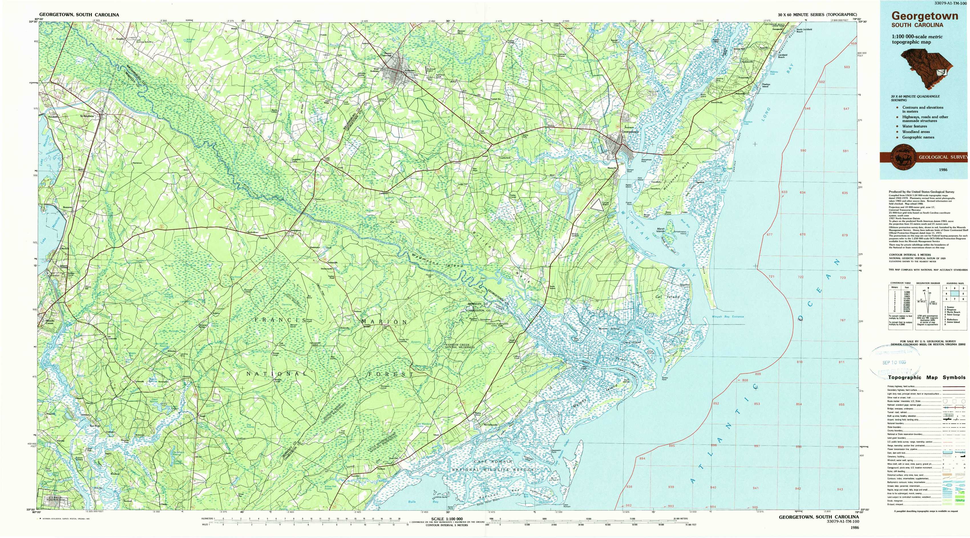
Georgetown Topo Map South Carolina
To zoom in, hover over the map of Georgetown
USGS Topo Map 33079a1 - 1:100,000 scale
| Topo Map Name: | Georgetown |
| USGS Topo Quad ID: | 33079a1 |
| Print Size: | ca. 39" wide x 24" high |
| Southeast Coordinates: | 33° N latitude / 79° W longitude |
| Map Center Coordinates: | 33.25° N latitude / 79.5° W longitude |
| U.S. State: | SC |
| Filename: | 33079a1.jpg |
| Download Map JPG Image: | Georgetown topo map 1:100,000 scale |
| Map Type: | Topographic |
| Topo Series: | 30´x60´ |
| Map Scale: | 1:100,000 |
| Source of Map Images: | United States Geological Survey (USGS) |
| Alternate Map Versions: |
Georgetown SC 1986, updated 1986 Download PDF Buy paper map Georgetown SC 1986, updated 1990 Download PDF Buy paper map |
1:100,000 Topos surrounding Georgetown
Sumter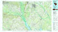 |
Kingstree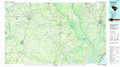 |
Myrtle Beach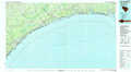 |
Saint George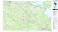 |
Georgetown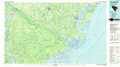 |
|
Walterboro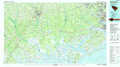 |
James Island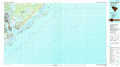 |
> Back to 33078a1 at 1:250,000 scale
> Back to U.S. Topo Maps home
1:24,000 Topo Quads covered by the spatial extent of this 100k map (Georgetown)
|
Saint Stephens 
|
Blakely 
|
Trio 
|
Andrews 
|
Olin 
|
Georgetown North 
|
Waverly Mills 
|
Magnolia Beach 
|
|
Bonneau 
|
Wedboo Creek 
|
Jamestown 
|
Cedar Creek 
|
Kilsock Bay 
|
Georgetown South 
|
North Island 
|
|
|
Cordesville 
|
Bethera 
|
Shulerville 
|
Honey Hill 
|
Santee 
|
Minim Island 
|
Santee Point 
|
|
|
Kittredge 
|
Huger 
|
Ocean Bay 
|
Awendaw 
|
Mcclellanville 
|
Cape Romain 
|