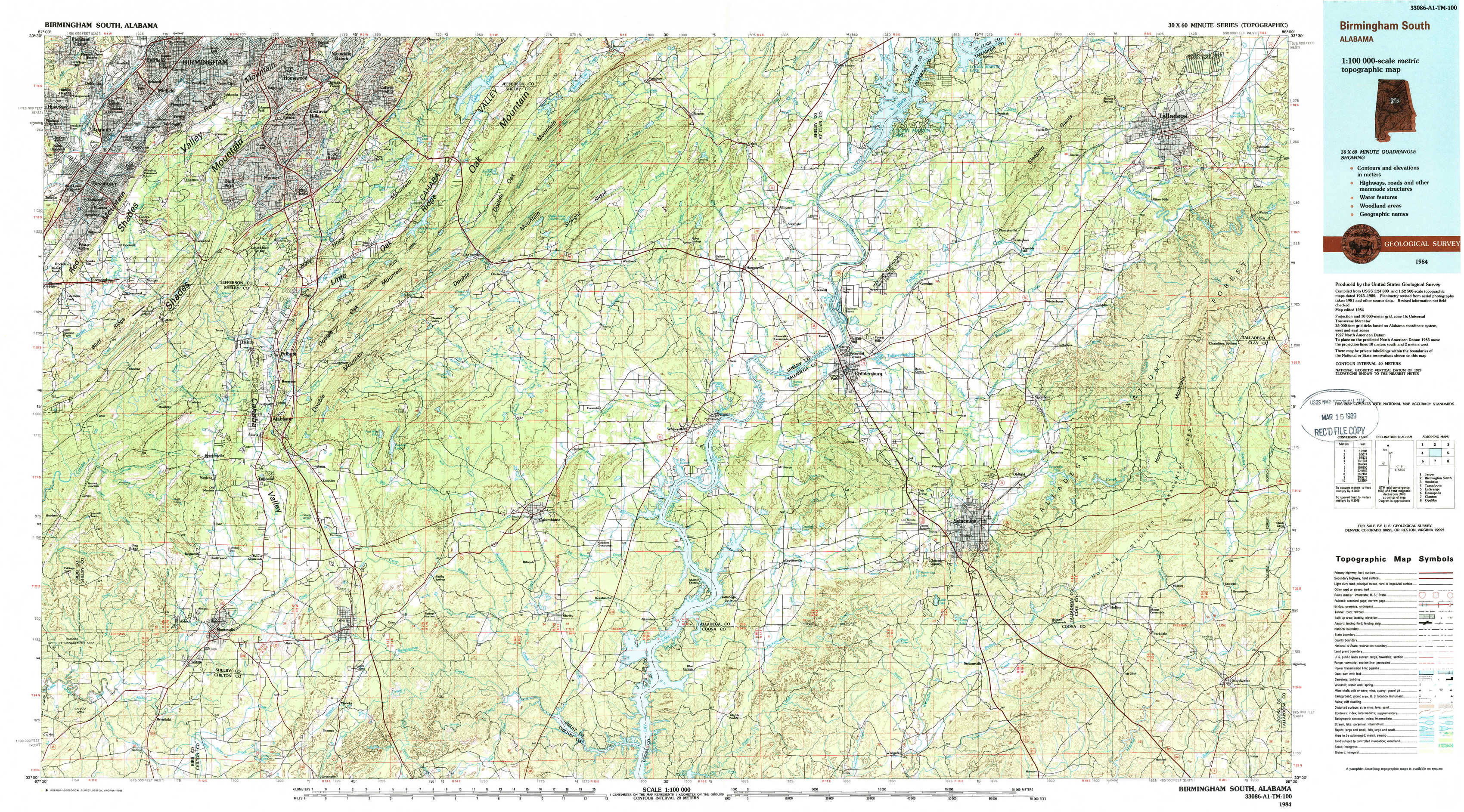
Birmingham South Topo Map Alabama
To zoom in, hover over the map of Birmingham South
USGS Topo Map 33086a1 - 1:100,000 scale
| Topo Map Name: | Birmingham South |
| USGS Topo Quad ID: | 33086a1 |
| Print Size: | ca. 39" wide x 24" high |
| Southeast Coordinates: | 33° N latitude / 86° W longitude |
| Map Center Coordinates: | 33.25° N latitude / 86.5° W longitude |
| U.S. State: | AL |
| Filename: | 33086a1.jpg |
| Download Map JPG Image: | Birmingham South topo map 1:100,000 scale |
| Map Type: | Topographic |
| Topo Series: | 30´x60´ |
| Map Scale: | 1:100,000 |
| Source of Map Images: | United States Geological Survey (USGS) |
| Alternate Map Versions: |
Birmingham South AL 1984, updated 1985 Download PDF Buy paper map Birmingham South AL 1984, updated 1988 Download PDF Buy paper map |
1:100,000 Topos surrounding Birmingham South
Jasper |
Birmingham North |
Anniston |
Tuscaloosa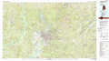 |
Birmingham South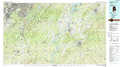 |
La Grange |
Demopolis |
Clanton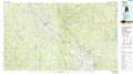 |
Opelika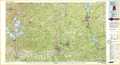 |
> Back to 33086a1 at 1:250,000 scale
> Back to U.S. Topo Maps home
1:24,000 Topo Quads covered by the spatial extent of this 100k map (Birmingham South)
|
Bessemer 
|
Birmingham South 
|
Cahaba Heights 
|
Vandiver 
|
Vincent 
|
Laniers 
|
Sleeping Giants 
|
Talladega 
|
|
Greenwood 
|
Helena 
|
Chelsea 
|
Westover 
|
Harpersville 
|
Childersburg 
|
Winterboro 
|
Porter Gap 
|
|
Pea Ridge 
|
Alabaster 
|
Bounds Lake 
|
Columbiana 
|
Wilsonville 
|
Sylacauga West 
|
Sylacauga East 
|
Bulls Gap 
|
|
Aldrich 
|
Montevallo 
|
Ozan 
|
Shelby 
|
Talladega Springs 
|
Weogufka 
|
Hollins 
|
Goodwater 
|