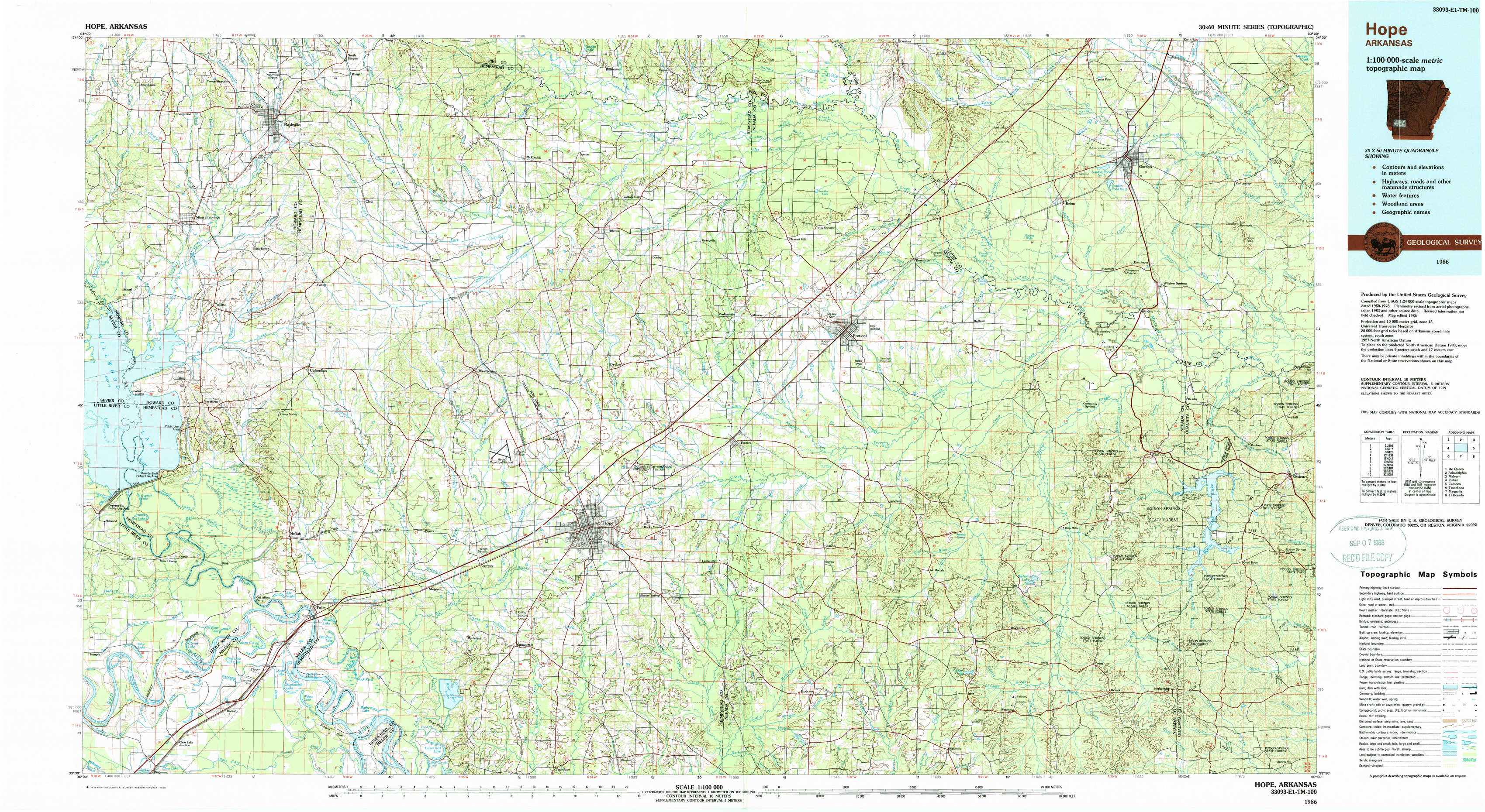
Hope Topo Map Arkansas
To zoom in, hover over the map of Hope
USGS Topo Map 33093e1 - 1:100,000 scale
| Topo Map Name: | Hope |
| USGS Topo Quad ID: | 33093e1 |
| Print Size: | ca. 39" wide x 24" high |
| Southeast Coordinates: | 33.5° N latitude / 93° W longitude |
| Map Center Coordinates: | 33.75° N latitude / 93.5° W longitude |
| U.S. State: | AR |
| Filename: | 33093e1.jpg |
| Download Map JPG Image: | Hope topo map 1:100,000 scale |
| Map Type: | Topographic |
| Topo Series: | 30´x60´ |
| Map Scale: | 1:100,000 |
| Source of Map Images: | United States Geological Survey (USGS) |
| Alternate Map Versions: |
Hope AR 1986, updated 1986 Download PDF Buy paper map Hope AR 1986, updated 1988 Download PDF Buy paper map |
1:100,000 Topos surrounding Hope
De Queen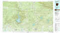 |
Arkadelphia |
Malvern |
Idabel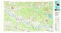 |
Hope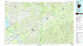 |
Camden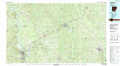 |
Texarkana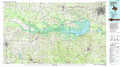 |
Magnolia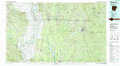 |
El Dorado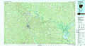 |
> Back to 33092a1 at 1:250,000 scale
> Back to U.S. Topo Maps home
1:24,000 Topo Quads covered by the spatial extent of this 100k map (Hope)
|
Mineral Springs North 
|
Nashville 
|
Mccaskill 
|
Pisgah 
|
Piney Grove 
|
Okolona South 
|
Gurdon 
|
Curtis 
|
|
Mineral Springs South 
|
Columbus 
|
Washington 
|
Blevins 
|
Prescott West 
|
Prescott East 
|
Whelen Springs 
|
Reader 
|
|
Red Bluff 
|
Mcnab 
|
Sheppard 
|
Hope 
|
Emmet 
|
Laneburg 
|
Bluff City 
|
Chidester 
|
|
Homan 
|
Fulton 
|
Spring Hill 
|
Patmos 
|
Bodcaw 
|
Willisville 
|
Waterloo 
|
Troy 
|