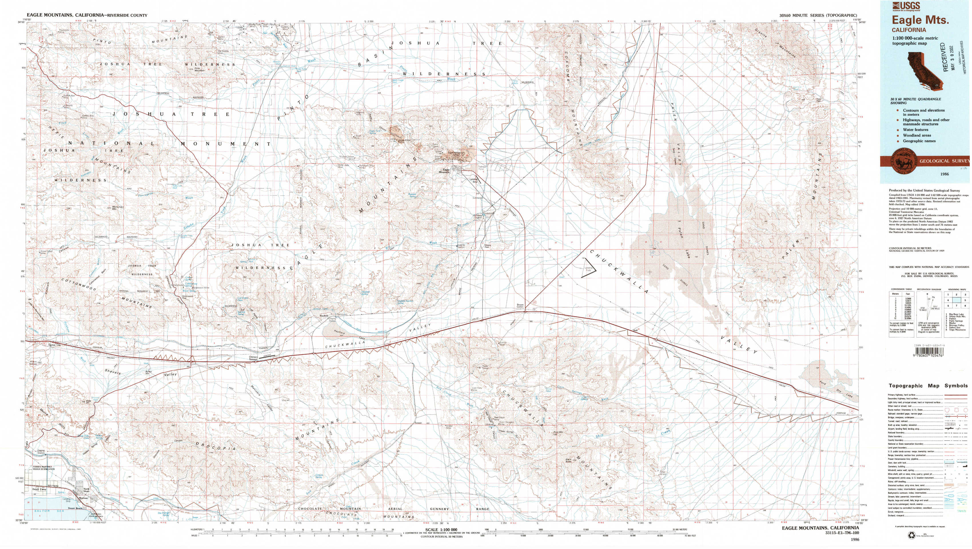
Eagle Mountains Topo Map California
To zoom in, hover over the map of Eagle Mountains
USGS Topo Map 33115e1 - 1:100,000 scale
| Topo Map Name: | Eagle Mountains |
| USGS Topo Quad ID: | 33115e1 |
| Print Size: | ca. 39" wide x 24" high |
| Southeast Coordinates: | 33.5° N latitude / 115° W longitude |
| Map Center Coordinates: | 33.75° N latitude / 115.5° W longitude |
| U.S. State: | CA |
| Filename: | 33115e1.jpg |
| Download Map JPG Image: | Eagle Mountains topo map 1:100,000 scale |
| Map Type: | Topographic |
| Topo Series: | 30´x60´ |
| Map Scale: | 1:100,000 |
| Source of Map Images: | United States Geological Survey (USGS) |
| Alternate Map Versions: |
Eagle Mountains CA 1986, updated 1986 Download PDF Buy paper map Eagle Mountains CA 1986, updated 1986 Download PDF Buy paper map |
1:100,000 Topos surrounding Eagle Mountains
Big Bear Lake |
Sheep Hole Mountains |
Parker |
Palm Springs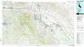 |
Eagle Mountains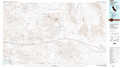 |
Blythe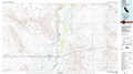 |
Borrego Valley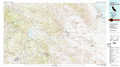 |
Salton Sea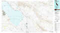 |
Trigo Mountains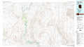 |
> Back to 33114a1 at 1:250,000 scale
> Back to U.S. Topo Maps home
1:24,000 Topo Quads covered by the spatial extent of this 100k map (Eagle Mountains)
|
Fried Liver Wash 
|
Pinto Mountain 
|
San Bernardino Wash 
|
Placer Canyon 
|
Pinto Wells 
|
Coxcomb Mountains 
|
West Of Palen Pass 
|
Palen Pass 
|
|
Washington Wash 
|
Porcupine Wash 
|
Conejo Well 
|
Buzzard Spring 
|
Victory Pass 
|
East Of Victory Pass 
|
Palen Lake 
|
Palen Mountains 
|
|
Cottonwood Basin 
|
Cottonwood Spring 
|
Hayfield 
|
Hayfield Spring 
|
Desert Center 
|
Corn Spring 
|
Sidewinder Well 
|
Ford Dry Lake 
|
|
Mortmar 
|
Orocopia Canyon 
|
Red Canyon 
|
East Of Red Canyon 
|
Red Cloud Canyon 
|
Pilot Mountain 
|
Aztec Mines 
|
East Of Aztec Mines 
|