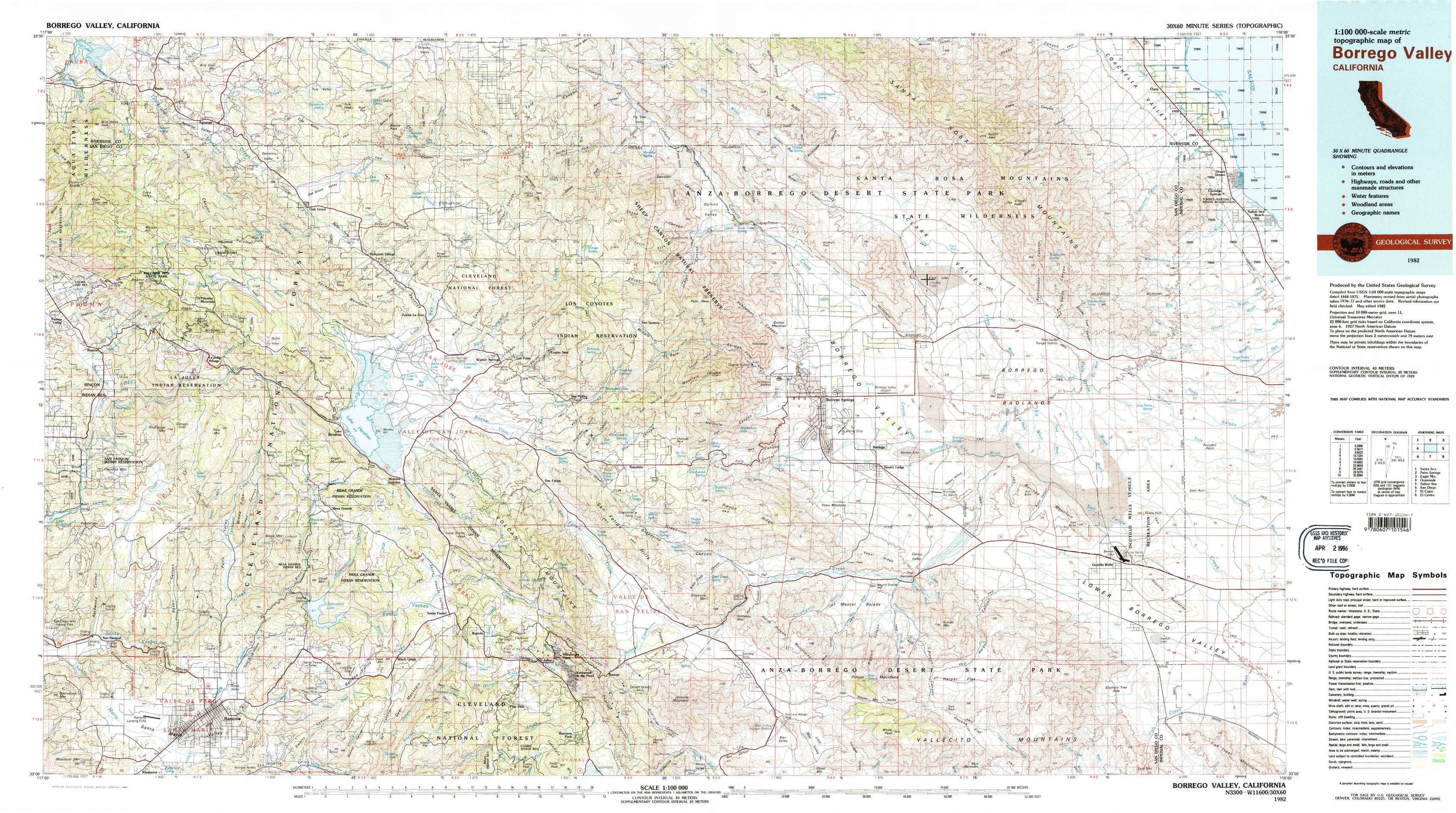
Borrego Valley Topo Map California
To zoom in, hover over the map of Borrego Valley
USGS Topo Map 33116a1 - 1:100,000 scale
| Topo Map Name: | Borrego Valley |
| USGS Topo Quad ID: | 33116a1 |
| Print Size: | ca. 39" wide x 24" high |
| Southeast Coordinates: | 33° N latitude / 116° W longitude |
| Map Center Coordinates: | 33.25° N latitude / 116.5° W longitude |
| U.S. State: | CA |
| Filename: | 33116a1.jpg |
| Download Map JPG Image: | Borrego Valley topo map 1:100,000 scale |
| Map Type: | Topographic |
| Topo Series: | 30´x60´ |
| Map Scale: | 1:100,000 |
| Source of Map Images: | United States Geological Survey (USGS) |
| Alternate Map Versions: |
Borrego Valley CA 1982, updated 1983 Download PDF Buy paper map Borrego Valley CA 1982, updated 1983 Download PDF Buy paper map |
1:100,000 Topos surrounding Borrego Valley
Santa Ana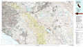 |
Palm Springs |
Eagle Mountains |
Oceanside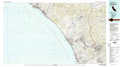 |
Borrego Valley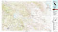 |
Salton Sea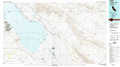 |
San Diego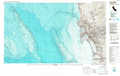 |
El Cajon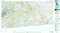 |
El Centro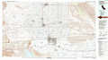 |
> Back to 33116a1 at 1:250,000 scale
> Back to U.S. Topo Maps home
1:24,000 Topo Quads covered by the spatial extent of this 100k map (Borrego Valley)
|
Vail Lake 
|
Aguanga 
|
Beauty Mountain 
|
Bucksnort Mountain 
|
Collins Valley 
|
Clark Lake Ne 
|
Rabbit Peak 
|
Oasis 
|
|
Boucher Hill 
|
Palomar Observatory 
|
Warner Springs 
|
Hot Springs Mountain 
|
Borrego Palm Canyon 
|
Clark Lake 
|
Fonts Point 
|
Seventeen Palms 
|
|
Rodriguez Mountain 
|
Mesa Grande 
|
Warners Ranch 
|
Ranchita 
|
Tubb Canyon 
|
Borrego Sink 
|
Borrego Mountain 
|
Shell Reef 
|
|
San Pasqual 
|
Ramona 
|
Santa Ysabel 
|
Julian 
|
Earthquake Valley 
|
Whale Peak 
|
Harper Canyon 
|
Borrego Mountain Se 
|